Posts

Showing posts from July, 2026

Current Date & Time

Fall Freeze Data For New Mexico

Unrelenting Heatwave To Continue - Severe T-Storms Friday & Saturday.

Image
July 26, 2026. Drought Stricken Countyside Around Artesia. Blog Updated At 10:58 AM MDT.  Our ongoing summer heatwave refuses to give up, but there will be a temporary break from the heat, sort of, on Saturday. A cold front will backdoor its way southward and westward down the eastern plains Friday and should slide into southeastern New Mexico Friday night into early Saturday morning.  Ahead of this front, more hot weather will dominate our forecasts today and Friday, with our afternoon highs in southeastern New Mexico forecast to range from 102 to 104 today, and 104 to 106 on Friday.  A Heat Advisory has been issued for Friday for Eddy and Culberson Counties. A Heat Advisory is in effect today for the Middle Rio Grande Valley, including the Albuquerque Metro area, where high temps today are forecast to reach 97 to 101, and in Eastern San Miquel and Quay Counties where highs are forecast to reach 105.  A Heat Advisory is in effect today through Friday for El Paso ...

Welcome To The Dog Days Of Summer.

Image
June 19, 2026. Seven Cabins Burn Scar. North Side Of The Capitan Mountains. As forecast, the oven has been turned back on across much of the area. No doubt the Dog Days of Summer have arrived. Typically, the Dog Days of Summer occur from July 3rd through August 11th.  High temps are expected to climb as high as 107 across Eddy and Chaves Counties today, where a Heat Advisory is in effect. A Heat Advisory is also in effect today for parts of southern New Mexico, including the Las Cruces and El Paso areas, where h igh temps of 106 are expected.  A few daily record highs may be tied or broken today. Record high temps for today include: Artesia NWS Climate COOP 108 in 1958 Carlsbad Airport 107 in 1958 Tatum NWS Climate COOP 107 in 1958 Alamogordo NWS Climate COOP 107 in 1963 Roswell ThreadEx 106 in 1958 Carlsbad NWS Climate COOP 105 in 2018 Hobbs Airport 105 in 1958 Hobbs NWS Climate COOP 104 in 1983 Alamogordo Airport 104 in 2016 Artesia Airport 102 in 2016 Hope NWS Climate C...

July Rainfall Totals So Far - Oven Weather Ahead - Watching Bertha.

Image
July 17, 2026. Looking Southeast From Atoka. Blowing Dust From T-Storm Outflow Winds. The Have & Have Nots For July Rainfall. (July 1st - July 20th, 2026). It is just crazy how wildly varied rainfall totals so far this July are adding up across the state. Artesia is a prime example. The Artesia Airport is one of the driest places in the state this July, with only .01" of rainfall recorded so far. A PWS in Artesia has only recorded .04" so far. Yet the Atoka XL AWS 2.25 miles south of Atoka has recorded 1.91". Perhaps the most extreme example is the Cool Pines RV Park PWS located west-northwest of Mayhill with an astounding 10.25" so far. Yet down the road some 8 miles southeast, the Mayhill CoCoRaHS Station 4.0 SE is only reporting a July total of .81".  Hit-and-miss rainfall has definitely been the theme for rainfall this month across the state.  Cool Pines RV Park PWS WNW of Mayhill 10.25" Mogollon Raws 8.45" Salinas Peak WSMR 6.02" Silver ...
Another Round Of T-Storms - Heating Up Next Week - Watching Tropical Depression #2/Bertha?

Image
June 19, 2026. T-Storm Hail Drifts.  16-Springs Canyon Rd. Surprisingly, yesterday's t-storm activity was much less intense in the Sacramento Mountains than was expected. It happens. You get another chance today, again with the threat of t-storms producing heavy rainfall and localized flash flooding...especially over and downstream of the burn scars.  The chances of getting wet in the Sacramento and Capitan Mountains range from 50% to 80% today through Tuesday. By Wednesday, your chances for measurable rainfall drop off into the 20% to 40% range.  For the southeastern plains, we have another shot at getting wet this afternoon and evening with our rain chances in the 20% to 40% range. Then the rain spicket goes dry starting Tuesday.  A Flood Watch remains in effect for parts of Lincoln County, particularly in the Rudiso area today. Rainfall rates in excess of one inch per hour will be possible with storm totals of 1" to 3".  T-storms will favor the western half o...

Sct Storms/Hvy Rainfall/Localized Flash Flooding Today Into Sunday - Drying Out & Back Into The Oven Next Week.

Image
July 17, 2026. T-Storm Southwest of Atoka. T-storms erupted over the Guadalupe and Sacramento Mountains before noon yesterday and dumped on a few spots. Scattered t-storms also dotted the southeastern plains with heavy rainfall according to radar but missed most rain gauges. Radar estimated up to 3.00" fell northwest of Ruidoso and 2.50" southeast of Cloudcroft. See the maps and rainfall lists below for additional totals across the state. A few of the heavier totals include: FourCubsCabin PWS S of Alto 3.26" South Fork Cedar Creek HADS NW of Ruidoso 2.41"  Lower Gavalin Canyon HADS Near Alto 2.37" Alto Water Treatment Plant HADS 2.35" Smokey Bear Raws 1.95" Home PWS SE of Wimsatt 1.86" Eagle Lake HADS 1.77" Scenic Canyon PWS N of Wimsatt 1.74" Ruidoso CoCoRaHS 3.2 SW 1.71" Upper Canyon Lookout PWS W of Ruidoso 1.68" Big Dipper Cabin PWS SW of Wimsatt 1.61" Upper Raven Trail HADS NW of Ruidoso 1.42" Dude Mesa HADS SSE...
Brief Lull In The Rains But Fear Not They Are Back & A Look At West-Central Texas Catastrophic Rains/Flooding!

Image
June 19, 2026. 16-Springs Canyon Road. Hail Fog & Flooding Debris. Southeastern Plains. We've dried out in southeastern New Mexico and over the Sacramento Mountains the past couple of days as our thunderstorm activity got shut down by subsidence and dry air aloft. This comes to an end today as an upper-level low/easterly wave located over West Texas this morning moves slowly west and dissipates by Saturday.  Subtropical monsoonal moisture flowing north from Mexico and northwest from the Gulf will help kick off isolated to widely scattered thunderstorms today into this evening across southeastern New Mexico.  Scattered rain showers and thunderstorms will dot the landscape Thursday into Sunday. Locally heavy rains will be possible, which may lead to localized flash flooding. Our chances of getting wet will range from 10% to 20% today, increasing to 30% to 60% Thursday into Saturday. Rainfall totals today into Sunday will generally be in the .25" to 1.00" range, with iso...
Flood Watch For Parts Of West Texas - Scattered T-Storms/Heavy Rainfall This Week.

Image
July 12, 2026. Tank Battery Fire. Carlsbad, New Mexico . Scattered thunderstorms developed before noon east of the Pecos River in Chaves and Eddy Counties. By late afternoon, these had formed a cluster of storms that developed along an outflow boundary in Lea and Eddy Counties.  Thunder was heard off and on in the Carlsbad area from 4 PM through 9:30 PM. The Carlsbad Airport ASOS was the big winner rainfall-wise with a 24-hour total as of midnight last night of 1.92". This broke the previous 24-hour rainfall record at the airport for July 12th (1930-2026), which was .97" in 1950. The Carlsbad NMWS Climate COOP Station recorded .93" on July 12th, 1990 (1905-2021). This station was closed on January 28, 2021.  Some of the higher rainfall totals from yesterday afternoon and evening include: Carlsbad Airport ASOS 1.92" PWS in south Carlsbad (Bush House) 1.77" The Paduca Raws near the WIPP Site 1.55" PWS in southeast Carlsbad (Sunnyview1) 1.48" Carlsbad SW...

Rock & Roll Here We Go - Our Summer Monsoon Ramps Up This Weekend Into Next Week.

Image
June 19, 2026. Hail Fog - East Of Cloudcroft. Rock and roll, it's off to the races we go. Our summer monsoon will ramp up today into next week, producing beneficial, if not excessive, rainfall over parts of the state over the next seven days or so.  An elongated area of Marginal Risk of severe thunderstorms (Slight Risk for SE Arizona) stretches from southern Arizona northeast into eastern New Mexico today. The primary severe weather hazards will be damaging thunderstorm wind gusts in excess of 58 mph (both wet and dry microbursts are possible), large hail, and frequent cloud-to-ground lightning.  Heavy thunderstorm rains will be capable of producing localized flash flooding just about anywhere in the state over the next week, but especially in the mountains, the southwest, and eastern/southeastern parts of the state. Of particular concern will be the burn scars across the state, especially those in the Ruidoso area, including the recent Seven Cabins burn scar on the north sid...

Incredibly Wet Summer Monsoon Of 2014 - 1941 New Mexico's Wettest Year/El Niño Year.

Image
September 22, 2014. Normally Dry Four Mile Arroyo - Lake Rd, Lakewood, NM. Looking back at our wettest summer monsoon in 45 years (1981-2026) here in Eddy County should remind all of us that when this drought finally does bust, it likely will do so with a bang just as it did in September of 2014.  The summer monsoon of 2013 was also impressive, but 2014 saw some incredible rainfall totals that produced widespread flash flooding across the area.    Selected heavier rainfall totals from June 15th - September 30th, 2014 include: 1 Mile East Malaga 25.50+" Sierra Blanca Snotel 25.10" Cloudcroft CoCoRaHS 4.9 NE 24.89" Cloudcroft CoCoRaHS 4.0 E  22.98" Sunspot CoCoRaHS 0.07 N 22.96" Durante Rd 1 Mile East Malaga 22.25+" Derrick Rd/Old Cavern Hwy 21.50+" Elk NWS Climate COOP Station 21.06" Cloudcroft CoCoRaHS 0.4 ESE 19.22" Mayhill CoCoRaHS 2.8 WNW 19.22" Bowl Raws Located Below Guadalupe Pk 19.13" Cloudcroft NWS Climate COOP Station...

My Blog Archive List (July 2010 - August 2025).

Show more

My Current Weather Conditions

MY CoCoRaHS Precipitation Data

NWS Albuquerque 2026 Winter Outlook (Updated Nov 3rd).

NWS Midland Web Page

NWS Midland Web Page
Click On The Map To Open It Up

SE New Mexico & West Texas Precipitation Forecasts

Eddy County

Guadalupe Mtns Eddy & Culberson County

Lea County

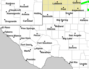
NWS Midland Hazardous Weather Outlook

NWS Midland Hazardous Weather Outlook
Click On The Image To See The Rest Of The Outlooks

NWS Midland Hazardous Weather Outlook

NWS Midland Hazardous Weather Outlook

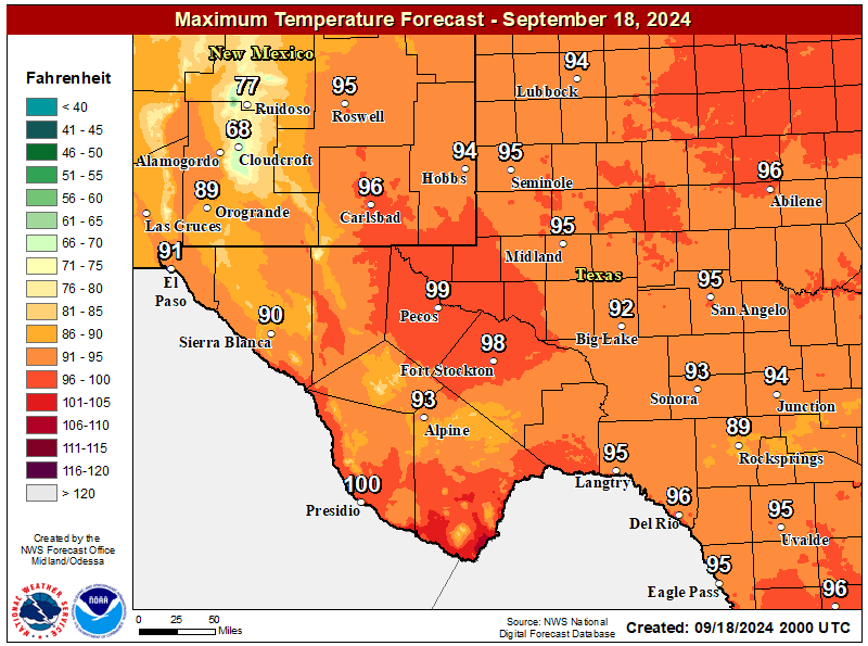
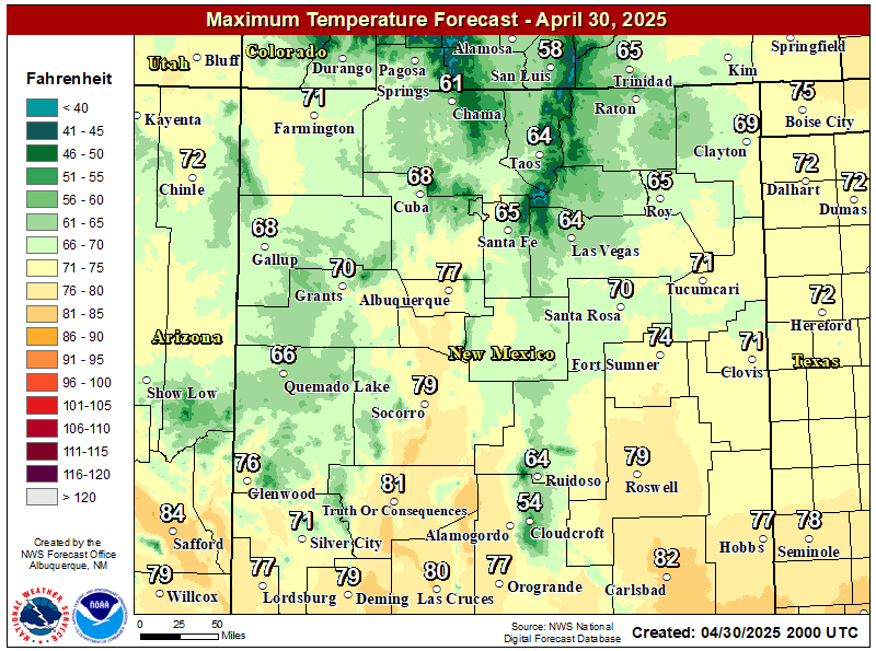
NWS Midland Forecast High Temperatures Today

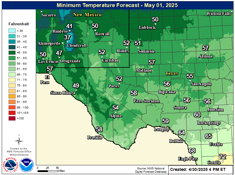
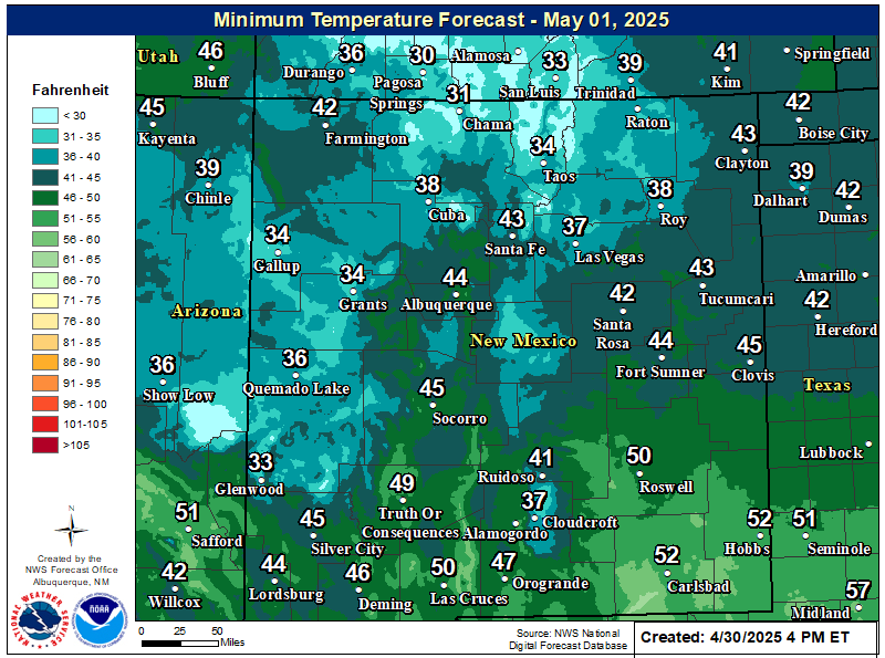
NWS Midland Forecast Low Temperatures Tonight

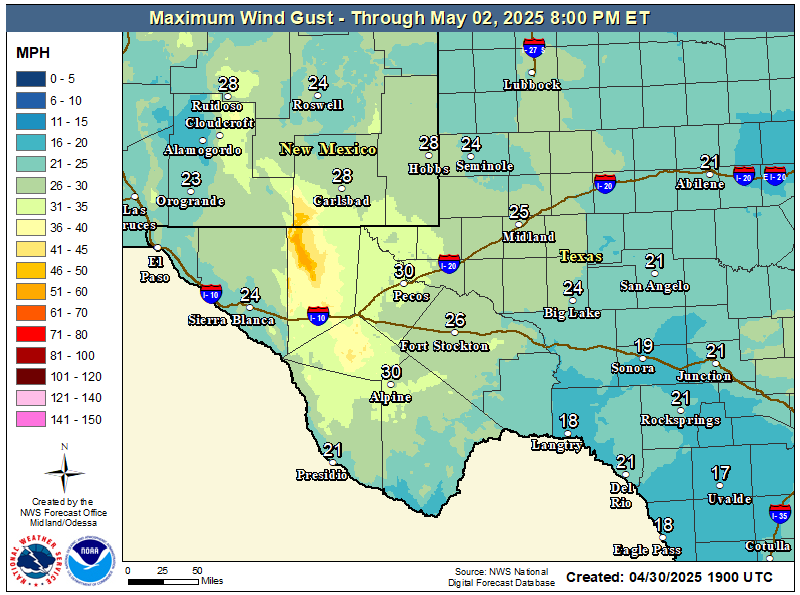
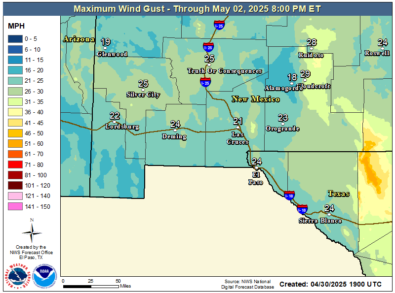
NWS Midland Peak Wind Gust Forecast

NWS Midland Forecast Graphic

NWS Midland Forecast Graphic
A storm system brings scattered showers/storms to the area tonight. Widespread flooding is not expected, but heavier storms may cause ponding of water on roads. Showers will linger over the northeast Permian Basin through Saturday morning.

NWS Albuquerque Web Page

NWS Albuquerque Web Page
Click On The Map To Open It Up

NWS Albuquerque New Mexico Precipitation Forecasts

New Mexico

Chaves County Plains & Mtn's

Lincoln County

NWS Albuquerque Hazardous Weather Outlook

NWS Albuquerque Hazardous Weather Outlook

NWS Albuquerque Forecast High Temperatures Today

NWS Albuquerque Forecast Low Temperatures Tonight

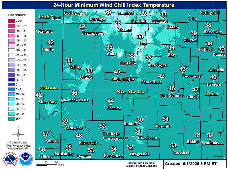
NWS Albuquerque Wind Chill Forecast

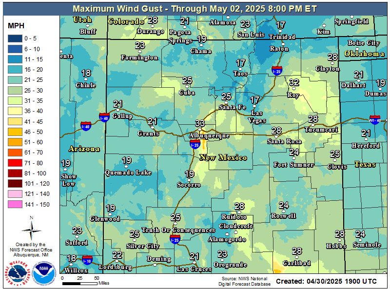
NWS Albuquerque Peak Wind Gust Forecast

NWS Albuquerque Graphic Forecast

NWS Albuquerque Graphic Forecast
A Winter Weather Advisory is in effect across the Tusas Mountains from midnight tonight to 9 PM MST Saturday. Snow is expected above 9000 feet, with accumulations generally between 3 to 6 inches. Travel could be very difficult on U.S. Highway 64 between Tres Piedras and Tierra Amarilla. Tire traction will be reduced. Extend the distance between your vehicle and the vehicle in front of you.

NWS Albuquerque Graphic Forecast

NWS Albuquerque Graphic Forecast
Snow above 9,000' will generally range 3-6 inches with locally higher amounts up to 8 inches atop the peaks. Slick winter travel will favor the U.S. 64 corridor through the Tusas Mts.

NWS Albuquerque Graphic Forecast

NWS Albuquerque Graphic Forecast
Temperatures will be chilly tonight, with lows dropping into the 30s-40s across much of the region and the 20s across higher elevations. Showers will move across the south-central mountains and southeast plains late this evening before propagating into northwest and north-central NM during the early morning hours Saturday.

NWS Albuquerque Forecast Grpahics

NWS Albuquerque Forecast Grpahics
Cooler and wetter weather late through the weekend. Calmer weather returns late Sunday through Monday before the next storm system looks to clip northwestern NM Tuesday.

NWS El Paso Web Page

Southern New Mexico & Far West Texas Precipitation Forecasts

Texas

Otero County

NWS El Paso Hazardous Weather Outlook

NWS El Paso Hazardous Weather Outlook
Click On The Image To See The Rest Of The Outlooks

NWS El Paso Hazardous Weather Outlook

NWS El Paso Hazardous Weather Outlook
Click On The Image To See The Rest Of The Outlooks

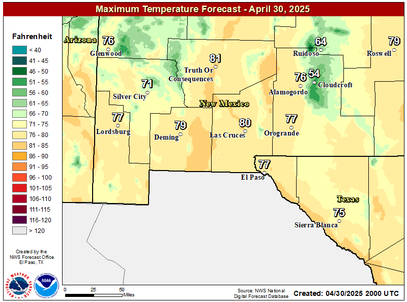
NWS El Paso Forecast High Temperatures Today

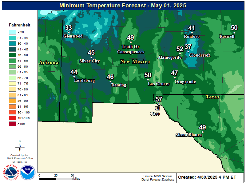
NWS El Paso Forecast Low Temperatures Tonight

NWS El Paso Wind Chill Forecast

NWS El Paso Peak Wind Gust Forecast

NWS El Paso Graphic Forecast

NWS El Paso Graphic Forecast
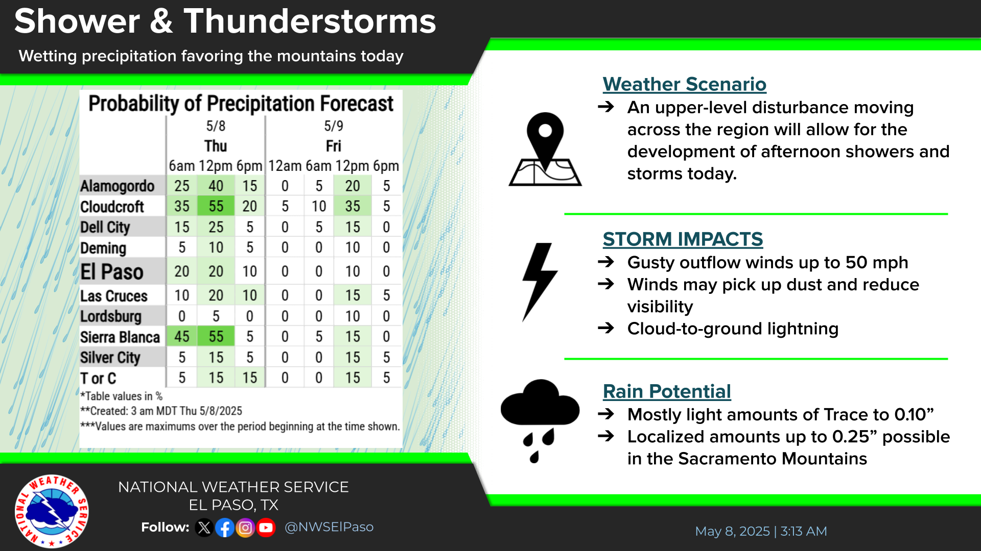
Showers will begin in the west Friday afternoon and spread east through the evening. Highest rainfall amounts likely from the Rio Grande Valley east. A few thunderstorms also possible.

NWS El Paso Graphic Forecast

NWS Lubbock Web Page

NWS Lubbock Web Page
Click On The Map To Open It Up

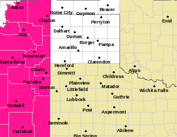
NWS Lubbock Hazardous Weather Outlook

NWS Lubbock Hazardous Weather Outlook
Click On The Image To See The Rest Of The Outlooks

NWS Lubbock South Plains Precipitation Forecasts

NWS Lubbock Hi Temperature Forecast Today

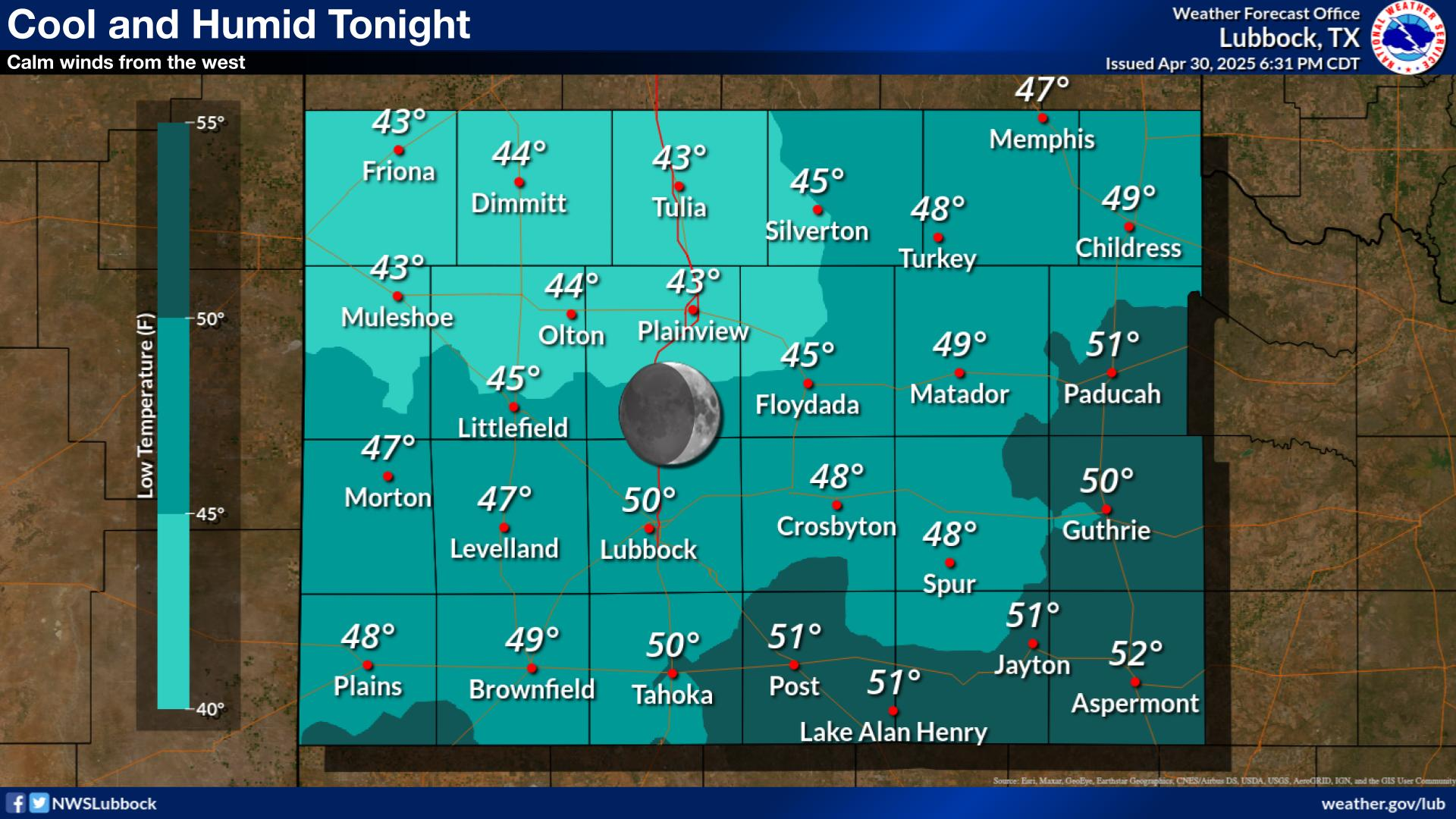
NWS Lubbock Low Temperature Forecast Tomight

NWS Lubbock Graphic Forecast

NWS Lubbock Graphic Forecast
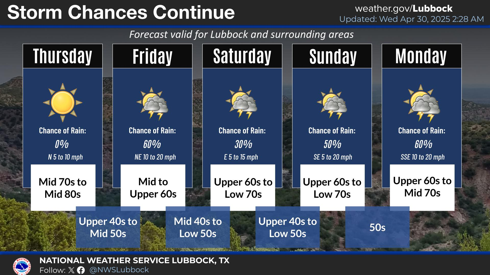
Cloudy skies and scattered rain showers will arrive late Friday night and continue through the day Saturday. Highs will only be in the 50s for most locations. Rain will continue into the evening hours, but gradually come to an end from west to east Saturday night.

NWS Lubbock Graphic Forecast

NWS Lubbock Graphic Forecast
Cloudy and breezy Sunday with highs in the 50s, then cold Monday morning, with lows dropping to near freezing on the Caprock. Remaining chilly on Tuesday despite more sunshine, with some warming on Wednesday.

NWS Lubbock Graphic Forecast

NWS Lubbock Graphic Forecast
Precipitation chances return Friday night through Sunday, with the best chances being Saturday night. Severe storms are not expected, but rainfall amounts over an inch are possible (20-40% chance) off the Caprock. Cooler conditions are expected at the start of next week, when highs may only be in the low 50s.

My Rainfall Totals - 2.1 NNW Downtown Carlsbad

My Rainfall Totals - 2.1 NNW Downtown Carlsbad

My Seasonal Snowfall Totals - 2.1 NNW Downtown Carlsbad

My Seasonal Snowfall Totals - 2.1 NNW Downtown Carlsbad

Disclaimer

This blog and its contents are for informational purposes only! Always have multiple sources of information available to rely upon during severe weather. Do not rely solely on the Internet. Be weather-aware, plan ahead, have a backup plan, and be ready to act before severe weather strikes your location.