

Current Weather
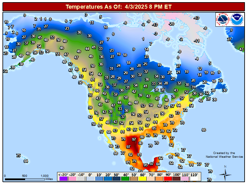
Current North American Temperatures.


- Regional Airport/Remote Observations
- Northern New Mexico
- Gallup Arpt ASOS
- Grants Arpt AWOS
- Santa Fe Arpt ASOS
- Las Vegas Arpt ASOS
- Angel Fire Arpt ASOS
- Los Alamos Arpt AWOS
- Farmington Arpt ASOS
- Belen Airport AWOS
- Albuquerque Arpt ASOS
- Double Eagle Airport AWOS
- Socorro Airport AWOS
- Eastern New Mexico
- Raton Arpt ASOS
- Clayton Arpt ASOS
- Tucumcari Arpt ASOS
- Santa Rosa Arpt AWOS
- Moriarty Arpt AWOS
- Clines Corners ASOS
- SE Vaughn NMCC
- Clovis Arpt AWOS
- Cannon AFB Arpt ASOS
- Dora NMCC
- Southeastern New Mexico - Chaves County
- Roswell Aprt ASOS
- Halfway House Ranch NMCC
- 23 Miles North Roswell NMC60
- Haystack NE Of Roswell NMCC
- 5-Mile Draw N Of Roswell
- 8-Mile Draw Raws
- Roswell Portable 1
- N Roswell NMCC
- NW Roswell NMCC
- Roswell 5.25 N XL 234
- Roswell 6.25 NW XL 241
- Roswell 5.5 E XL 248
- Roswell 24.5 E XL 213
- Roswell 8.5 SE XL 220
- Roswell 6.5 W XL 255
- Roswell 9.75 WSW XL 178
- Southeastern New Mexico - Eddy County
- Carlsbad Arpt ASOS
- NW Carlsbad EMRC
- PWS Carlsbad - KE5WLM
- Carlsbad SWCD
- Loving HS NMCC
- Dark Canyon Ranch NMCC
- Carlsbad 9 N XL 254
- Carlsbad 25 NE XL 222
- Carlsbad 7.5 NW XL 182
- Carlsbad 4.5 W XL 261
- Carlsbad 9.5 S XL 232
- Carlsbad 9 SE XL 218
- Carlsbad 7.5 SW XL 263
- Southeastern New Mexico - Lea County
- Knowles 5 NW XL 194
- North Hobbs 3.5 NE XL 265
- Hobbs 8.5 S XL 227
- Hobbs 12.5 W XL 245
- Hobbs 18.5 WSW XL 228
- Hobbs 9 SW XL 231
- Hobbs 30 W XL 222
- FW9687 Eunice
- Eunice 1.25 ESE XL 225
- Eunice 6.25 SE XL 266
- Eunice 5 WNW XL195
- Eunice 28 WNW XL
- Euince 11.25 SW XL 262
- Guadalupe Mountains
- Northern Sacramento Mountains - Lincoln County
- Hogadero Draw NMCC
- Hondo NMC94
- Nogal NMC62
- Carrizozo NMCC
- Sierra Blanca Snotel
- Smokey Bear Raws
- Sierra Blanca Arpt AWOS
- Southern Sacramento Mountains - Otero County
- Mescalero Raws
- Nichols Ranch
- High Rolls PWS
- Pinon Raws
- Mayhill Raws
- Mayhill NMCC
- EW0601 Mayhill
- Lincoln Portable Raws #2 (North of Mayhill)
- Bell Canyon PWS
- Cloudcroft 5 SSW PWS
- Cloudcroft PWS - WWS
- Weed PWS
- Sacramento PWS - Myers Cabin
- Timberon PWS
- Timberon PWS - Neighborhood
- Sacramento Peak Raws
- Cosmic Raws - Apache Point Observatory
- Southern New Mexico
- Deming Arpt ASOS
- Silver City Arpt AWOS
- Las Cruces Arpt AWOS
- Lordsburg Arpt AWOS
- Holloman AFB ASOS
- WSMR Main Post
- San Augustin Pass
- Alamogordo Airport AWOS
- Truth Or Consequences ASOS
- Texas
- Amarillo Arpt ASOS
- Lubbock Arpt ASOS
- Denver City Arpt AWOS
- Seminole Arpt AWOS
- Andrews Arpt AWOS
- Lamesa Arpt AWOS
- Big Spring Arpt AWOS
- Midland/Odessa Arpt ASOS
- Odessa Schlemeyer Arpt ASOS
- Wink Airport ASOS
- Monahans Arpt AWOS
- Pecos Arpt AWOS
- Fort Stockton Arpt ASOS
- El Paso Arpt ASOS
- Biggs Army Arpt ASOS
- San Angelo Arpt ASOS
- Santa Teresa Arpt AWOS
- DFW Airport ASOS
- San Antonio Arpt ASOS
- Arizona
- Page Airport AWOS
- Flagstaff Arpt ASOS
- Prescott Airport AWOS
- Winslow Airport AWOS
- St. Johns Airport AWOS
- Grand Canyon Natl Park Arpt AWOS
- Williams Airport AWOS
- Phoenix Aprt ASOS
- Tucson Arpt ASOS
- Nogales Airport AWOS
- Fort Huachuca AWOS
- Bullhead City Airport AWOS
- Lake Havasu City Airport AWOS
- Yuma Marnie Corp Airport ASOS
- Colorado
- Fort Collins Airport AWOS
- Craig Airport AWOS
- Denver Arpt ASOS
- Pueblo Arpt ASOS
- Alamosa Airport AWOS
- Grand Junction Arpt ASOS
- Other Locations


- Regional Weather Observations
- UCAR Weather
- NM ASOS/AWOS
- New Mexico ZiaMet
- ASOS/AWOS Stations
- West Texas Mesonet Obs
- NWS MesoWest Weather Map
- New Mexico MesoWest Summary
- SE NM/W TX MesoWest Summary
- SE NM MesoWest Peak Wind Gusts
- New Mexico MesoWest Peak Wind Gusts
- U.S. Aviation Weather - PIREPs & AIREPs
- Local Weather Websites
- Area Flood Gauges
- Miscellaneous Weather
- Oymyakon, Siberia
- Pikes Peak, Colorado
- Pikes Peak WebCam
- Peter Sinks Utah Weather
- WPC Storm Summaries
- Local River/Arroyo Flood Stages
- This Date In Weather/Climate History
- Current Mt. Washington, NH Weather
- Mt. Washington MesoNet Observations
- GlenAllenWeather.com Weather History - Monthly


Comments
Post a Comment
Your comments, questions, and feedback on this post/web page are welcome.