My Blog Archive List (July 2010 - August 2025).

Show more

Recent Posts

My Current Weather Conditions

Viewing My Web Page

If you are viewing my web page on your cell phone, then be sure and click on the three white bars located in the top left-hand corner of the page (only visible on your phone). This is the menu bar, and it opens up additional links and graphics. Such as forecast maps, severe weather outlooks, current conditions, radar and satellite links, and more.

Summary Of Pecos River & Arroyo Flooding In SE NM 8-28-2022.

August 26, 2022.
Flooding On The Pecos River - Bank Full.
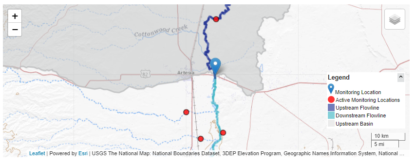
US Hwy 82 Bridge 6 Miles East Of Artesia, NM.

Monday, August 22, 2022.
Looking West At Pecos River Flooding.
US Hwy 380 Bridge East Of Roswell, NM.

(From Flooding On The Pecos River & Arroyos).

Saturday, August 21, 2022.
Near Dexter, New Mexico.
Pecos River Flooding - High Water Rescue.


It appears that the Pecos River flood crest of 17.36' at 1:45 PM MDT on Sunday, August 21, 2022, might be a new record at the Acme Gauge northeast of Roswell. We will have to wait for the final review from the USGS to know for sure.


Initially, the forecast flood crest of the Pecos River at the Lake Arthur Gauge was 27' which would have been five feet above its historical record crest of 21.9' on September 24, 1941. The forecast crest was lowered down to around 20' but crested well below these forecasts at 13.37' at 3:45 PM MDT on Friday, August 26, 2022. 


Saturday, August 20, 2022.
Flash Flooding At Carlsbad Caverns National Park.

Flood waters in Dark Canyon near Whites City failed to reach Carlsbad even though the flood crest was 9.98' at 9 PM MDT Saturday, August 20, 2022.


Widespread moderate to heavy rainfall fell across all of the local area between Wednesday, August 17, and Monday, August 22, 2022. For area rainfall totals see my blog post on Wednesday, August 24, 2022. 

There Are None So Blind As Those Who "Will - Not" To See...107.

Comments

Current US Hazardous Weather Watch/Warning Map

New Mexico

Texas

Arizona

Colorado

Eddy County

Guadalupe Mtns Eddy & Culberson County

Chaves County Plains & Mtn's

Lea County

Lincoln County

Otero County

🔴 Live 24/7 National Weather Radar & Alerts, Weather Intensity Score & YallBot!

Ryan Hall: 🔴LIVE - Winter Storm Coverage With Storm Chasers On The Ground - Live Weather Channel...

Weather With Travis

Tim Vasquez's Forecast Lab

Ruidoso Live Webcam

Ski Apache Webcam Live Link

Ski Apache Webcam Live Link
Click On The Image To Open It Up

Cloudcroft Live Webcam

Roswell Live EarthCam

Average Daily High/Low Temps & Precipitation

Average Daily High/Low Temps & Precipitation

My Precipitation Totals - 2.1 NNW Downtown Carlsbad

My Precipitation Totals - 2.1 NNW Downtown Carlsbad

My Top 10 Most Popular Posts

Artesia, NM Mothership Supercell Thunderstorm. 9-17-2016.

Monster Of A Snowstorm Coming This Christmas Weekend?

Powerful Winter Storm Is Hammering New Mexico! Worst Is Yet To Come.

25th Anniversary Of The Carlsbad, NM (May 31, 1991) Tornado Coming Up.

Major Winter Storm May Paralyze/Bury Parts Of NM & Nearby Areas Tonight Into Wednesday!

2011 Skywarn Spotter Training Classes & My Thoughts.

Tonight's GFS Is As Drunk As This Mornings ECMWF. Historic Snowstorm Next Weekend?

Major Winter Storm To Hammer New Mexico & West Texas Thanksgiving Week!

Are We Fixing To Go From Drought To Flood In SE NM?

Cloudcroft & Ruidoso, NM Seasonal Snowfall Totals.

My Favorite Blog List.

Substack

Disclaimer

This blog and its contents are for informational purposes only! Always have multiple sources of information available to rely upon during severe weather. Do not rely solely on the Internet. Be weather-aware, plan ahead, have a backup plan, and be ready to act before severe weather strikes your location.