My Current Weather

Sunday, June 8, 2014

Roswell, New Mexico Supercell T-Storm - Time Lapse. 6-7-2014.


Two supercell thunderstorms developed near Corona, New Mexico Saturday, June 7, 2014. They then moved off to the southeast. I first started filing at 7:35 PM MDT about five miles north of the junction of U.S. Hwy's 285 & 70 north of Roswell, New Mexico. This is a time lapse (16X the normal speed) video.

The Truth Is Stranger Than Fiction! 

 My Web Page Is Best Viewed With Google Chrome.

No comments:

Post a Comment

Your comments, questions, and feedback on this post/web page are welcome.

Current NWS Watches/Warnings In Effect

New Mexico

Eddy County

Chaves County Plains & Mtn's

Culberson County

Lea County

Lincoln County

Otero County

Current US Temps

Current US Wind Chill/Heat Index Temperatures

NWS Midland Forecast

NWS Midland Forecast

NWS Albuquerque Forecast

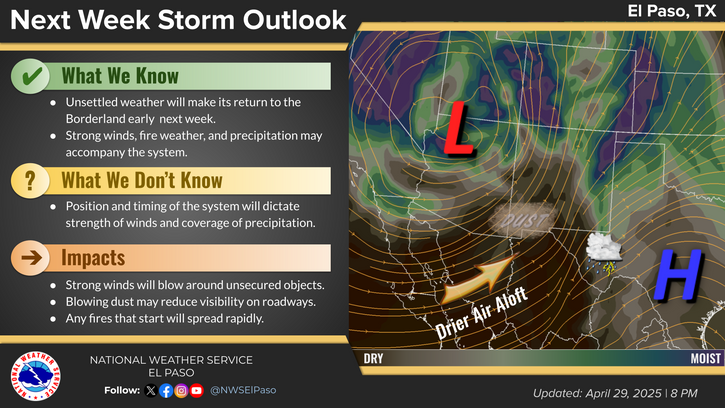
NWS El Paso Forecast

NWS El Paso Forecast

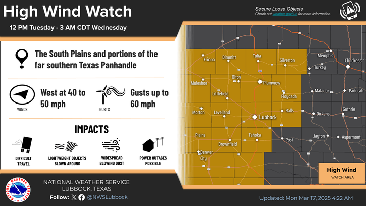
NWS Lubbock Forecast

NWS Lubbock Forecast

My Blog Archive List

Average Daily High/Low Temperatures & Rainfall/Snowfall

Average Daily High/Low Temperatures & Rainfall/Snowfall