Uneventful Week Weather-wise - Changes Late In The Weekend?
Last Nights Super Blood Moon In SW Chaves Co NM.
To View More Photos Click On This Link.
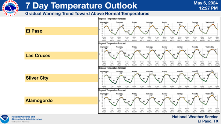
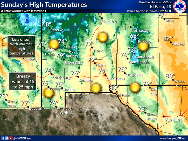
Our weather this week will be fairly quiet with temperatures running a little above normal. Highs will be mostly in the mid to upper 80's to close to 90 across the lower elevations. Highs in the Sacramento Mountains will be mostly in the 70's to near 80. Overnight lows in the lower elevations will be mostly in the mid 50's to near 60. Lows in the mountains will generally be in the 40's and 50's.
Valid @ 6 PM MDT Sunday Oct 5th.
Valid @ 6 PM MDT Sunday Oct 5th.
Valid @ 6 PM MDT Sunday Oct 5th.
Changes are coming by the end of the week into the weekend. Last night's long range computer forecast models continue to hint at a fairly deep and cold mid and upper level low trough of low pressure diving southward and into California by Sunday.
The US GFS model seems to be the odd man out as it digs the upper level storm into the heart of the nation instead of along the West Coast as does the Canadian and the European. A lot of uncertainty here so take this with a grain of salt.
With this event still a week out its way too early to get too excited about the specifics yet. However October begins on Thursday and the jet stream is increasingly becoming more active with time. So climatologically speaking this system will not be all that unusual.
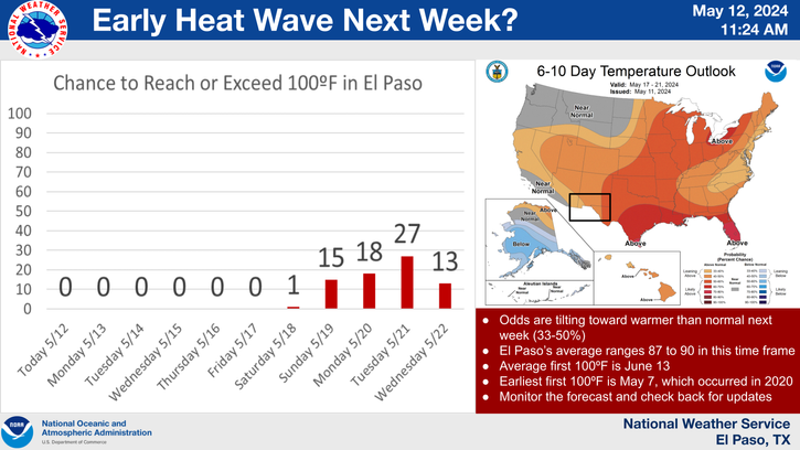
Several of them are also hinting at the possibility of moisture getting draw northward into the Desert Southwest from a Tropical system south of Baja.
Notice the temperature drop from the first of October compared to the end of October.
Oct 1st & Oct 31st.
Roswell
(1894-2015)
Oct 1st 82/52
Oct 31st 70/38
Artesia
(1905-2015)
Oct 1st 83/50
Oct 31st 72/37
Carlsbad
(1900-2015)
Oct 1st 85/53
Oct 31st 73/41
Hobbs
(1912-2014)
Oct 1st 83/54
Oct 31st 71/42
Tatum
(1919-2015)
Oct 1st 82/49
Oct 31st 59/37
Ruidoso
(1941-2014)
Oct 1st 73/37
Oct 31st 62/28
Cloudcroft
(1901-2015)
Oct 1st 65/38
Oct 31st 54/30
The Truth Is Stranger Than Fiction!


Comments
Post a Comment
Your comments, questions, and feedback on this post/web page are welcome.