LP Supercell T-Storm West Of Roswell, NM.
Click On The Picture To Enlarge It.
June 1, 2011.
Photo Courtesy Of Jim Tucker (KB0QNW).
LP Supercell Thunderstorm West Of Roswell, NM,
Along With A Smoke Plume Started By A Lightning Strike.
Hot - With A Chance For A Few More T-Storms.
I chased a Low Precipitation (LP) Supercell Thunderstorm yesterday afternoon west of Roswell, New Mexico. I had the pleasure of working/chasing this storm with Jim Tucker (KB0QNW), who is the Chaves County Skywarn Coordinator. The Albuquerque National Weather Service Office issued multiple Severe Thunderstorm Warnings on this storm as it moved slowly eastward while located west of Roswell.
I tried something new yesterday afternoon. I had my live web cam streaming video of the storm up and running throughout the duration of the storm. http://www.ustream.tv/channel/se-nm-weather. I was operating in test mode so those of you who may have viewed the live stream may have seen the video dropping out, and blurring, while I experimented with the controls and settings. I learned something about the operation of the camera and hopefully I have all of the bugs and quirks figured out.
Please save this link and you will be able to watch me live while I am out storm chasing in southeastern New Mexico and West Texas. I will notify everyone that I am live streaming via my twitter account (my twitter name is KE5WLM which is my amateur radio call sign), and on Facebook, and on the live stream chat.
---------------------------------------------------
Click On The Maps To Enlarge Them.
Today-
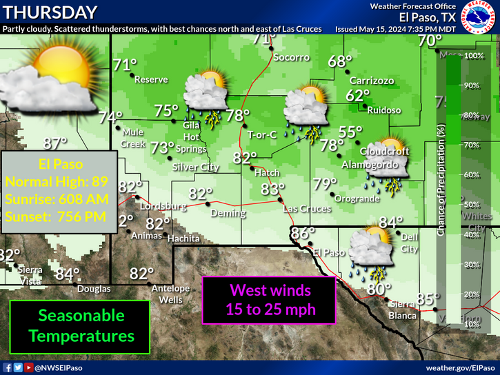
Another hot day is on tap for us with afternoon high temps in the upper 90's to near 100. A few scattered mainly high based thunderstorms are once again forecast to develop across SE NM today and this evening.
A few of these may become strong to severe and produce hail, strong microburst winds, and deadly cloud to ground lighting. Like yesterdays thunderstorms that broke out in Lincoln and Chaves Counties, any dry thunderstorm (one which produces very little rainfall and lots of cloud to ground lightning strikes) will have the potential to start grass fires across the area.
The Truth Is Stranger Than Fiction!


Comments
Post a Comment
Your comments, questions, and feedback on this post/web page are welcome.