Current Date & Time

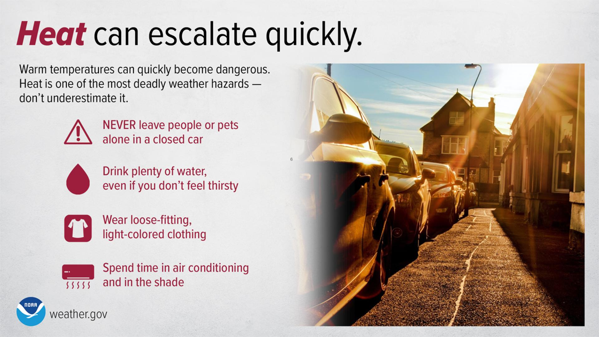
Another Week Of 100-Degree Temps.

Click On The Photo To Enlarge It.
Looking Southwest At The Loop Fire Burning At Carlsbad
Caverns And Surrounding Areas Yesterday Morning At
11:30 AM MDT. 

High Temperatures Recorded Tuesday.
(June 14, 2011)

West Texas-

Pecos Arpt AWOS 111
Penwell Climate 111
Presidio Climate 110
Wink Arpt ASOS 110
Fort Stockton Arpt ASOS 108
Midland Arpt ASOS 108
Midland Airpark AWOS 107
Terrell County Arpt AWOS 107
McCamey Climate 107
Gail Mesonet 107
Lamesa Climate 106
Andrews Mesonet 106
Big Springs Arpt AWOS 106

Chaves County-

Roswell Arpt ASOS 103
8-Mile Draw Raws 103
Roswell Climate 100
Dunken Raws 95

Eddy County-

Carlsbad Arpt ASOS 107
(Tied Pvs Record Of 107 Set On 6-14-2006)

2.1 NNW Downtown Carlsbad 105
Carlsbad Climate 105
Artesia Climate 104
Caprock Raws 103
Artesia Arpt AWOS 102
Hope Climate 102
Bat Draw Raws - Carlsbad Caverns 101
Queen Raws 93

Lea County-

Paduca Raws - Near WIPP 105
Jal Climate 104
Hobbs Climate 103
Hobbs Arpt 102
NW Hobbs - KM5BS 102
Tatum Climate 100
Tatum Mesonet 100

Lincoln County-

Downtown Ruidoso 86
Smokey Bear Raws 85
Sierra Blanca Regional Arpt AWOS 84

Otero County-

Mayhill Raws 87
Dark Ridge Observatory - Weed 86
Timberon CW7724 85
Hoffman Observatory - Mayhill 83
Cosmic Raws - Sunspot 81
Cloudcroft Climate 77
Sacramento Peak 77

Culberson County Texas-

Guadalupe Pass ASOS 98
McKittrick Canyon Raws 97
Pinery Raws - Pine Springs 92
Dog Canyon Raws 89


The Truth Is Stranger Than Fiction!

Comments

My Blog Archive List (July 2010 - August 2025).

Show more

My Current Weather Conditions

MY CoCoRaHS Precipitation Data

NWS Albuquerque 2026 Winter Outlook (Updated Nov 19th).

NWS Midland Web Page

NWS Midland Web Page
Click On The Map To Open It Up

SE New Mexico & West Texas Precipitation Forecasts

Eddy County

Guadalupe Mtns Eddy & Culberson County

Lea County

NWS Midland Hazardous Weather Outlook

NWS Midland Hazardous Weather Outlook
Click On The Image To See The Rest Of The Outlooks

NWS Midland Hazardous Weather Outlook

NWS Midland Hazardous Weather Outlook

NWS Midland Hazardous Weather Outlook
Click On The Image To See The Rest Of The Outlooks

NWS Midland Hazardous Weather Outlook

NWS Midland Forecast High Temperatures Today

NWS Midland Forecast Low Temperatures Tonight

NWS Midland Graphic Forecast

NWS Midland Graphic Forecast
A cold front will move through the area early Sunday bringing in colder temperatures. Clear skies and decreasing winds will help temperatures to fall below freezing for the first time across southern and central Leah County and portions of the northern Permian Basin Monday morning.

NWS Midland Graphic Forecast

NWS Midland Graphic Forecast
An upper-level system brings a low chances of light rain or snow flurries to portions of the area Tuesday morning (10-20% chances). Where flurries do occur, little to no wintry accumulation is expected.

NWS Midland Forecast Graphic

NWS Midland Forecast Graphic
Following a front Saturday evening/Saturday night, temperatures fall below normal across southeast New Mexico and west Texas. Highs stay below normal throughout next week thanks to reinforcing shots of cold air. A few locations (mainly in the northern Permian Basin, SE New Mexico, and in the Davis Mountains) may see their first freeze Monday and/or Wednesday mornings.

NWS Albuquerque Web Page

NWS Albuquerque Web Page
Click On The Map To Open It Up

NWS Albuquerque New Mexico Precipitation Forecasts

New Mexico

Chaves County Plains & Mtn's

Lincoln County

NWS Albuquerque Hazardous Weather Outlook

NWS Albuquerque Hazardous Weather Outlook

NWS Albuquerque Forecast High Temperatures Today

Today's High Temperature Difference From Climatology

NWS Albuquerque Forecast Low Temperatures Tonight

Tonight's Low Temperature Difference From Climatology

NWS Albuquerque Wind Chill Forecast

NWS Albuquerque Peak Wind Gust Forecast

NWS Albuquerque Graphic Forecast

NWS Albuquerque Graphic Forecast
Another quick-hitting storm will bring light rain and snow to the area Monday morning through late Monday night. Light snow accumulations are likely, with a low chance for up to 6 inches over the peaks of the northern mountains.

NWS Albuquerque Graphic Forecast

NWS Albuquerque Graphic Forecast
Temperatures today will range for 3 degrees below average in northern NM to as much as 15 degrees below average in the eastern plains. Monday morning will also feel chilly with seasonable morning lows.

NWS El Paso Web Page

Southern New Mexico & Far West Texas Precipitation Forecasts

Texas

Otero County

NWS El Paso Hazardous Weather Outlook

NWS El Paso Hazardous Weather Outlook
Click On The Image To See The Rest Of The Outlooks

NWS El Paso Forecast High Temperatures Today

NWS El Paso Forecast Low Temperatures Tonight

NWS El Paso Wind Chill Forecast

NWS El Paso Peak Wind Gust Forecast

NWS El Paso Graphic Forecast

NWS El Paso Graphic Forecast
Chilly low temperatures to just below freezing will develop across much of the lowlands of southern New Mexico Sunday morning. Chilly temperatures are also expected across west Texas and the El Paso/Las Cruces metro areas, but should remain above freezing.

NWS El Paso Graphic Forecast

NWS El Paso Graphic Forecast
Dependent on how early the winds die down Sunday morning, parts of New Mexico could see their first freeze of the season.

NWS Lubbock Web Page

NWS Lubbock Web Page
Click On The Map To Open It Up

NWS Lubbock South Plains Precipitation Forecasts

NWS Lubbock Hazardous Weather Outlook

NWS Lubbock Hazardous Weather Outlook

NWS Lubbock Hazardous Weather Outlook
Click On The Image To See The Rest Of The Outlooks

NWS Lubbock Hazardous Weather Outlook

NWS Lubbock Hazardous Weather Outlook
Click On The Image To See The Rest Of The Outlooks

NWS Lubbock Hazardous Weather Outlook

NWS Lubbock Hi Temperature Forecast Today

NWS Lubbock Low Temperature Forecast Tomight

NWS Lubbock Graphic Forecast

NWS Lubbock Graphic Forecast
After a few rain showers before midnight, mainly well north of Lubbock, a cold front sweeps south ahead of breezy north winds and much cooler temperatures for Sunday.

NWS Lubbock Graphic Forecast

NWS Lubbock Graphic Forecast
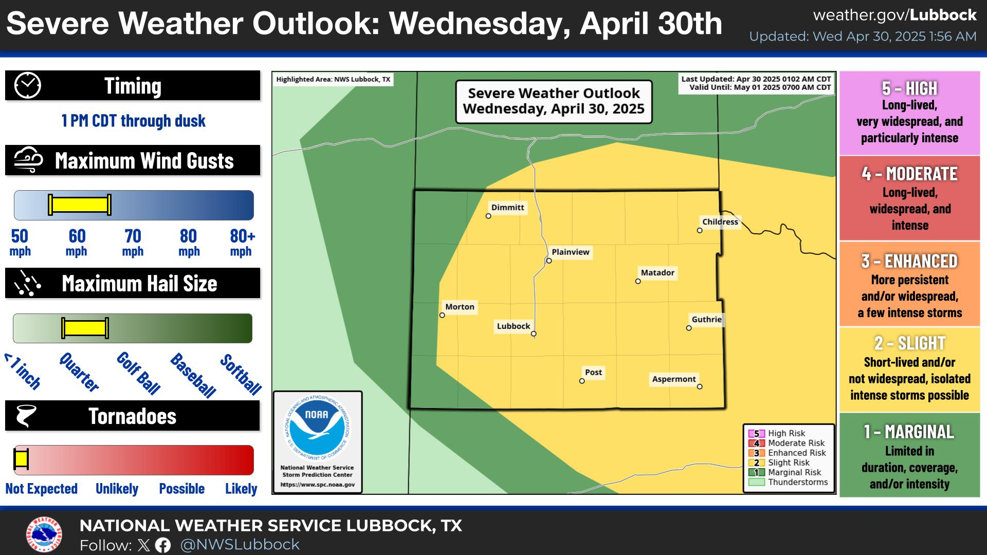
Areas of patchy to localized pockets of dense fog will continue through Saturday morning across the Caprock, clearing by mid-morning. Thereafter, sunny and warmer highs are expected with the return of an isolated storm or two off the Caprock. The severe weather threat remains low though strong winds may be possible. #lubwx #txwx

NWS Lubbock Graphic Forecast

NWS Lubbock Graphic Forecast
The cool air holds tight next week, with even slight chances for rain and snow showers for some areas Monday night and Tuesday morning.

My Rainfall Totals - 2.1 NNW Downtown Carlsbad

My Rainfall Totals - 2.1 NNW Downtown Carlsbad

My Seasonal Snowfall Totals - 2.1 NNW Downtown Carlsbad

My Seasonal Snowfall Totals - 2.1 NNW Downtown Carlsbad

Disclaimer

This blog and its contents are for informational purposes only! Always have multiple sources of information available to rely upon during severe weather. Do not rely solely on the Internet. Be weather-aware, plan ahead, have a backup plan, and be ready to act before severe weather strikes your location.