

Snow In The Guadalupe's & Sac's Overnight & Rain Upon The SE Plains.
Blog Updated At 10:12 AM MDT.
Snow In The Sacramento Mtn's Overnight.
Russia Canyon South Of Cloudcroft.

Ski Apache Web Cam.
Russia Canyon South Of Cloudcroft.

Courtesy Of Sharon Smith
Ski Apache Web Cam.

Captured At 7:13 AM MDT This Halloween Morning.

Captured At 8:04 AM MDT This Morning.

Captured At 7:36 AM MDT This Halloween Morning.

Captured At 7:30 AM MDT This Halloween Morning.
Local web cams from the Sacramento Mountains of South-Central New Mexico this morning were showing light snow falling. A dusting covered the grassy areas of Ski Apache, Cloudcroft, and Timberon as of 7-8 AM. Local New Mexico CoCoRaHS reports as of 8 AM indicated that 0.2" of snowfall fell 0.4 miles east-southeast of Cloudcroft and 0.1" 2.3 miles south of town.
Cannon AFB west of Clovis was reporting light sleet with a temp of 38ºF at 6 AM this morning. Between 2:32 AM and 2:51 AM MDT early this morning Guadalupe Pass was reporting a mix of light rain and snow.
As of 6 AM this morning the public was reporting light snow in Portales south of Clovis in the Eastern Plains of the state while light rain was falling from the Pecos Valley eastward to the state line. I picked up .04" here at our home in northwest Carlsbad while the CoCoRaHS Station located 3.5 miles north-northeast of Artesia measured .11".
Local Radar Snapshots.
Santa Teresa Radar.

Captured At 4:58 MDT This Halloween Morning.

Captured At 7:36 MDT This Halloween Morning.
Radar showed a mix of light rain, sleet, and freezing rain over the Sacrament Mountains early this morning.

Captured At 7 AM MDT This Halloween Morning.
Happy Halloween!

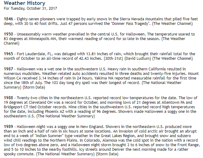
Local Halloween Climatology.

Climate Data Listed Above Is Courtesy Of:
---------------------------------------------------------------
(October 31st).

The Truth Is Stranger Than Fiction!


Comments
Post a Comment
Your comments, questions, and feedback on this post/web page are welcome.