Will Old Man Winter Take A Another Swing At Us Wednesday?
October 21st, 2018.
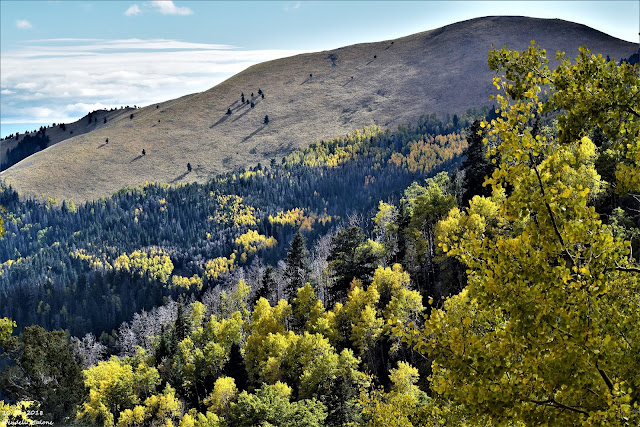
Looking southwest with Sierra Blanca Peak to my right.
Winter Takes Another Shot - First Freeze Next Week?
Valid At Noon MDT Next Wednesday.
As I publish this my thermometer tells me its a balmy 76º here in Carlsbad at 2:45 PM this beautiful Saturday afternoon. How about close to 80º for a high temp on Sunday, and perhaps a few low 80's on Monday. Enjoy because if this mornings run of the European forecast model is correct old man winter is going to take a another swing at us Wednesday.
There are significant differences between the U.S. GFS forecast model and the European (ECMWF) in this mornings runs. The Euro digs a closed low south into New Mexico centered near the Vaughn area by noontime Wednesday. The GFS has a fast moving long wave trough along the NM?TX state line at the same time.
Whichever model forecast turns out to be correct will have huge implications upon how our weather turns out next week. The Euro would bring winter back with accumulating snowfall as far south as the Clovis area and the Sacramento Mountains. It brings a strong cold front into the SE Plains Wednesday morning born upon northerly winds gusting to 35-45 mph. Along with wind chills in the 20's and 30's and high temperatures in the 40's.
The GFS indicates none of this at this time. The Euro also forecasts colder temps with the possibility of some of the local area seeing our first freeze of the season Thursday morning. I tend to lean towards the European model forecast given our history this month of strong cold fronts plunging southward into the state. At least this has been the pattern so far. The jury is still out on this one and more on this in a day or two.
ECMWF Forecast High Temperatures.
Valid Next Wednesday At 6 PM MDT.
ECMWF Forecast Temperature Anomalies.
Valid At 6 PM MDT Next Wednesday.
ECMWF Peak Wind Gust Forecast.
(During The Previous 6-Hours).
Valid At 6 PM MDT Next Wednesday.
ECMWF Forecast Wind Chills.
Valid At Noon Next Wednesday.
ECMWF Forecast Precipitation Types.
Valid At Noon Next Wednesday.
Green is rain, blue is snow, and pink is a mix of both.
ECMWF Total Snowfall Forecast.
Valid At 6 AM MDT Next Thursday.
ECMWF Snow Depth Forecast.
Valid At 6 AM MDT Next Thursday.
ECMWF Forecast Low Temperatures.
(Next Thursday Morning.)
The Truth Is Stranger Than Fiction - And Sometimes It Hurts!


Comments
Post a Comment
Your comments, questions, and feedback on this post/web page are welcome.