

Coolest Couple Of Mornings Since May.

September 11, 2021.
Smoky Sunrise Over Brantley Lake.A smoky sunrise over Brantley Lake between Artesia & Carlsbad yesterday morning. Smoke from forest fires in the NW U.S. rotating clockwise around a mid-level ridge of high pressure over New Mexico provided the backdrop. Note the reflection in the water.
I was struck with the thought while shooting this photo that this sunrise and hazy skies seemed very appropriate for 9-11, and match the mood of the nation.

One way to tell that fall is in its first stages of taking over is by taking a look at our dew point temperatures. My dew point temperature dropped down to 36º Saturday afternoon. This is the lowest it has been since June 17th when my afternoon dew point fell to 35º.
As many of you have noticed our mornings are starting to cool off. My low temperature this morning here at our home in Carlsbad, NM was 57º and this is the coolest morning low since 54º occurred on May 13th.
(As of 8 AM MDT).

An unofficial low temperature of 40º was reported in Bell Canyon (7,572') by a Personal Weather Station (PWS) northwest of Mayhill. So with these low dew point temperatures (aka a much drier airmass), our afternoons are still hot while radiational cooling in the dry air allows our nights to cool off.
(8:41 AM MDT).

With our dew point temperatures now dropping down into the 30's and 40's a coming end to our annual summer monsoon is upon us. All summer long our dew point temperatures averaged in the 50's, 60's and at times near 70º. The higher the dew point temperature the more moisture in the atmosphere.

Yes, it was one hot muggy summer for Southeastern New Mexico, parts of West Texas, and southern New Mexico. MY year-to-date rainfall stands at 16.23". I'm already about 4" above normal for the year.
(At 6 AM MDT Sunday Morning).

HRRR Smoke Forecast.

Smoke from the Pacific Northwest and California forest fires will continue circulation clockwise around the mid-high level ridge of high pressure stretched over New Mexico and West Texas today into the first of this week. More hazy skies on the way.
No drastic changes in our local weather are forecast over the next week to ten days. High pressure aloft rules the day. Shutting down our monsoonal flow from the south. This morning's run of the U.S. GFS moded hints at a mid-upper level western trough of low-pressure developing over the Pacific Northwest late next week with the possibility of a closed low southwest of San Diego. The European (ECMF) says not so much so.


Today.

Monday.


Tuesday.


Wednesday.


Not much change in our temperatures are expected this week. Daytime highs will be in the 90's. Morning lows will be in the 50's and 60's.
(Carlsbad, New Mexico).


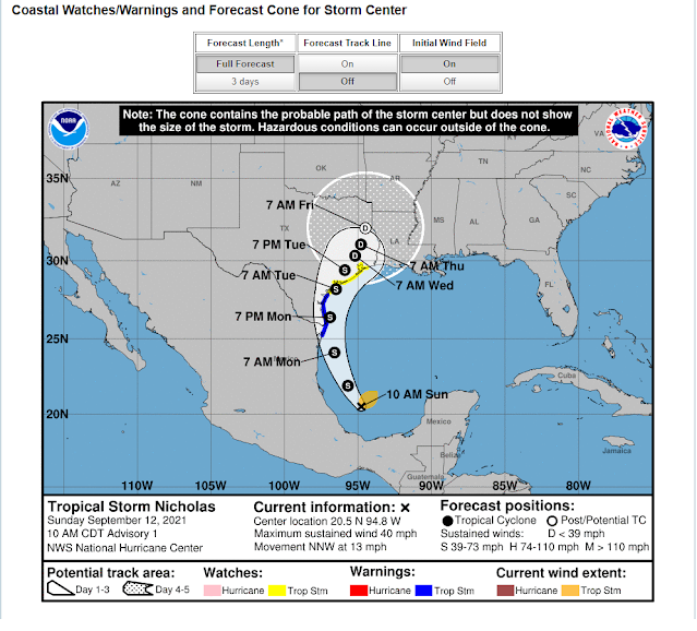
NHC Forecast Track.

Tropical Storm Nicholas will not have any effect on our weather in New Mexico and West Texas.
The Truth Is Stranger Than Fiction!


Comments
Post a Comment
Your comments, questions, and feedback on this post/web page are welcome.