

Winter Weather


Winter Weather Awareness | Staying Safe | Mantenerse Seguro | Winter Products | Cold Season Precipitation Types | Climatology |

Staying informed of forecasts and warnings will let you prepare early for harsh winter weather conditions. |
The National Weather Service Forecast Office in Albuquerque issues winter weather products with a "Ready-Set-Go" concept. The "Ready" stage is anywhere from 48 to 96 hours before the impending weather event. During this stage, forecasters may highlight expected adverse winter weather conditions in a Special Weather Statement that can be issued as an outlook, especially for rare or extreme winter weather events. Customers may also get an idea of weather for their area past the 36 to 48 hour timeframe by looking at the extended portion of the Zone Forecast Product. The "Set" stage is 24 to 48 hours before the weather event. If the forecaster feels that there is a good potential for dangerous winter weather conditions, a Winter Storm Watch is issued, highlighting the hazards and areas to be affected. Warnings and Advisories are issued during the "Go" stage, which is 12 to 24 hours before the onset of significant winter weather conditions. |
Winter Storm Watch: A watch is issued to give advance notice when a significant winter storm may affect your area within 12 to 48 hours. This would include any combination of significant snow or sleet accumulation, significant ice accretion, strong winds, extreme cold, low wind chills, or low visibilities in snow or blowing snow. A winter storm watch is issued when there is at least a 50/50 chance that warning criteria will be met. Usually, the winter storm watch will be upgraded to a warning when the nature and location of the weather event become more apparent. In any case, when a watch is issued for your area, it is time to prepare for severe winter weather. |
Winter Weather Advisory: When a combination of snow, blowing snow, sleet, freezing rain or freezing drizzle is expected to cause localized disruption of travel and result in a significant inconvenience, a winter weather advisory will be issued. A winter weather advisory can address multiple winter weather hazards. |
Winter Storm Warning: When conditions that can quickly become life-threatening and are more serious than an inconvenience are imminent or already occurring, a winter storm warning will be issued. Heavy snows, or a combination of snow, freezing rain or extreme wind chill due to strong wind, may bring widespread or lengthy road closures and hazardous travel conditions, plus threaten temporary loss of community services such as power and water. Deep snow and additional strong wind chill or frostbite may be a threat to even the well dressed individual or to even the strongest person exposed to the frigid weather for only a short period.
|
| Other winter weather products: |
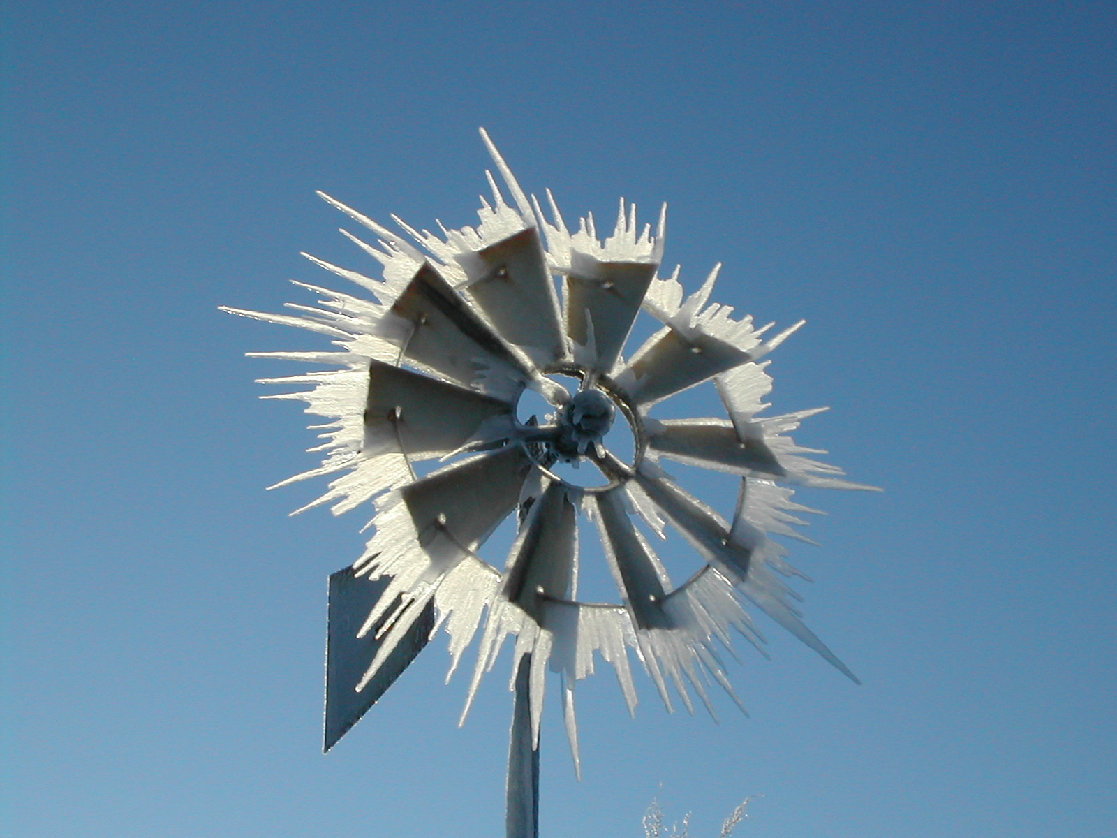
Blizzard Warning: The most dangerous of all winter storms is the blizzard. In New Mexico, the northeast highlands and northeast plains are the most blizzard-prone areas where the deadly combination of fierce winds and snow can reduce visibility to near zero and create wind chills well below zero. A blizzard warning is issued when winds of 35 miles an hour will occur in combination with considerable falling and/or blowing snow, reducing visibility as low as 1/4 mile. Frigid temperatures and harsh wind chills will accompany blizzards.  Photo by Eugene Whinnen |
Ice Storm Warning: A dangerous coating of ice, usually 1/4 inch or more. Ice storms are rare if not unheard of, west of the Rio Grande Valley. However, across eastern New Mexico a mixture of freezing drizzle, freezing rain, and light snow is not uncommon whenever arctic air masses invade the plains. In most cases, ice accumulations are less than 1/4 inch ,and a winter weather advisory is issued.
|
Extreme Cold Watch, Extreme Cold Warning, and Cold Weather Advisory: Issued when the wind chill temperatures, or apparent temperatures, will be at or below locally defined thresholds. The criteria for the extreme cold warning and cold weather advisory vary greatly across the region based on climatological frequency and public impact. At these levels, frostbite can occur on exposed flesh within minutes. As the wind chill temperature drops, the frostbite time decreases, especially with higher wind speeds. |
Note: Strong winds, usually blowing from the northwest or north, often develop in the wake of winter storms that cross New Mexico. This is especially true along the east slopes of the Central Mountain Chain and high plains of central and northeast New Mexico. These strong and gusty winds can persist hours after the precipitation has ended, creating areas of reduced visibilities in blowing snow. |
Now that we've covered all of the details, the important thing to understand about watches, warnings, and advisories, is that:
|


- NM Roads - (800-432-4269)
- Drive Texas - (800-452-9292)
- Texas Roads - (800-452-9292)
- Arizona Roads - (888-411-7623)
- Nationwide Roads - (511)
- NM Rds Mobile App
- Snowfall - Snow Depths
- Arctic Buoy Temps
- Current Snow Depth
- CoCoRaHs Snowfall
- Local Snowfall Totals
- Snowfall Reports Map
- Snowfall Analysis Map
- Power Outages USA.
- New Mexico Snotel Reports
- Western Region Climate Center
- New Mexico Snowfall Extremes
- Historical Past Snowfall Events
- US Observed Snowfall Analysis
- US Interactive Snow Depth Maps
- 24-Hour Observed Snowfall Totals
- U.S. Daily Snowfall & Snow Depth
- WetterOnline - Current Weather In Asia
- Rutgers University Global Snow Lab
- US National Ice Center - Naval Ice Center
- Latest Historical Measurable Snowfall Totals
- Danish Meteorological Institute - Arctic Temps
- New Mexico Snotel Stations
- Ski New Mexico


Thanks for sharing the analysis of snow areas. Hire north vancouver snow removal company who will use the proper equipment and machines for the snow removal services.
ReplyDeleteThanks for providing the weather forecast for various regions of the country.
ReplyDeleteVisit weathernationtv.com
The blog is handy to get the latest snow updates. Getting such updates at the right time essential to prepare accordingly. Kindly keep posting for more such updates. Keep up the good work.
ReplyDeleteWeatherNation
Nice article, Which you have shared here about the Winter Weather. Your article is very informative and useful to know more about the Winter Weather forecast. Thanks for sharing this article here. Salt ice removal service Pitt Meadows BC
ReplyDelete