Current Date & Time

Fall Freeze Data For New Mexico

We Went Chasing Today.


We Found The Dryline On The Caprock At Maljamar, NM This Morning.

 Massive Wind Farm Outside Of Hereford, TX. Those Things Are Huge.

Looking Back North Towards Hereford From North Of Dimmitt, TX.

Nice Sunset As Viewed Between Brownfield & Plains, TX.

Our Four thirty am alarm clock wasn't very welcome this morning but my wife and I rose to the occasion. We left Carlsbad by 6:15 am and headed to Lubbock for my doctors appointment. We found the dryline hugging the Caprock at Maljamar with some fog and stratus clouds.

 Lubbock was windy and chilly up until noontime when the sun finally peaked through the crud. After lunch and some shopping we decided to head north to Amarillo after the Storm Prediction Center (SPC) cut a Tornado Watch for the Panhandle.

After gassing up in Amarillo we quickly turned to the southwest and headed to Hereford to try and intercept a couple of storms making an effort to get serious. By the time we arrived they had scooted north of us so we headed south to Dimmit where a couple more storms we trying to get their act together. A few raindrops was all we found outside of Dimmit.

Southward we journeyed with the buffeting strong southeast wind we encountered all day long. The pockets of blowing dust and sand weren't much fun nor were the 40 mph gusts. Today was our first chase of the season and we busted big time. Not that this is anything new to me in my 43 years of chasing. I was really hoping to get in front of a classic supercell near Amarillo but this was not to be.

As the sun was setting I captured the last picture above. A few more miles down the road a couple bolts of lightning added their sparkling touch to the darkening sky to our west. Nice way to end the day even though we failed to nail a good storm.

We talked and gawked at the countryside as the day wore on. Saw some long horn cattle, lots of feed lots, freshly plowed and cultivated farm land, winter wheat fields, and of course miles and miles of nothing but miles and miles. Solved all of the worlds problems and then some too. Overall it was a really good day. Why? Because we went chasing...together!

The Truth Is Stranger Than Fiction!

Comments

My Blog Archive List (July 2010 - August 2025).

Show more

My Current Weather Conditions

Eddy County

Guadalupe Mtns Eddy & Culberson County

Lea County

NWS Midland Web Page

NWS Midland Web Page
Click On The Map To Open It Up

SE New Mexico & West Texas Precipitation Forecasts

NWS Midland Hazardous Weather Outlook

NWS Midland Hazardous Weather Outlook
Click On The Image To See The Rest Of The Outlooks

NWS Midland Hazardous Weather Outlook

NWS Midland Hazardous Weather Outlook
Click On The Image To See The Rest Of The Outlooks

NWS Midland Hazardous Weather Outlook

NWS Midland Hazardous Weather Outlook

NWS Midland Graphic Forecast

NWS Midland Forecast Graphic

NWS Midland Forecast High Temperatures Today

NWS Midland Forecast Low Temperatures Tonight

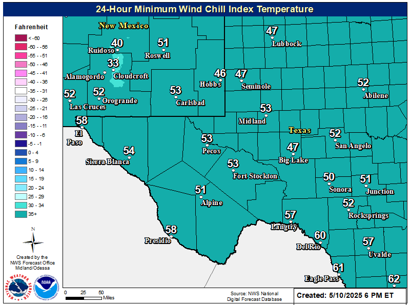
NWS Midland Wind Chill Forecast

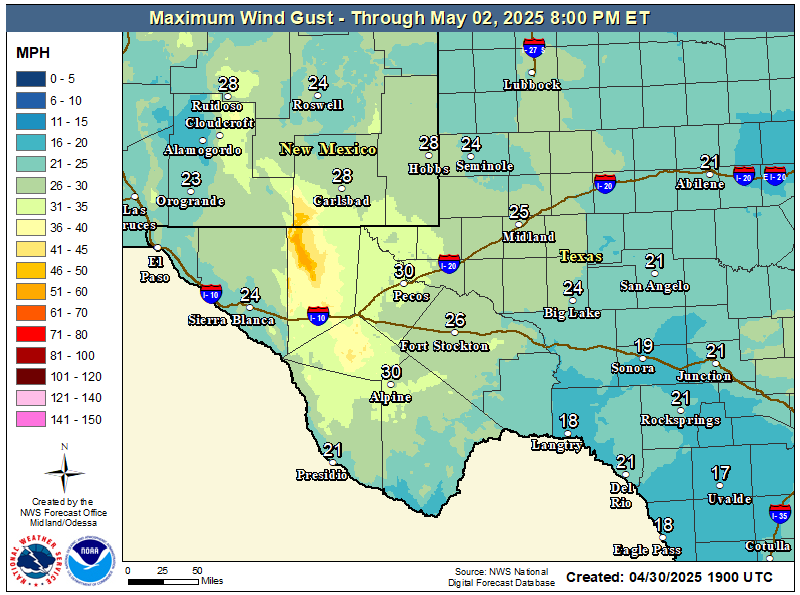
NWS Midland Peak Wind Gust Forecast

New Mexico

Chaves County Plains & Mtn's

Lincoln County

NWS Albuquerque Web Page

NWS Albuquerque Web Page
Click On The Map To Open It Up

NWS Albuquerque New Mexico Precipitation Forecasts

NWS Albuquerque Hazardous Weather Outlook

NWS Albuquerque Hazardous Weather Outlook

NWS Albuquerque Forecast Grpahics

NWS Albuquerque Forecast Graphics

NWS Albuquerque Forecast Graphic

NWS Albuquerque Graphic Forecast

NWS Albuquerque Graphic Forecast

NWS Albuquerque Forecast High Temperatures Today

NWS Albuquerque Forecast Low Temperatures Tonight

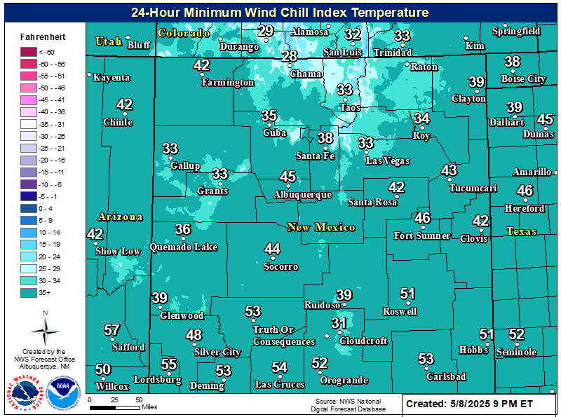
NWS Albuquerque Wind Chill Forecast

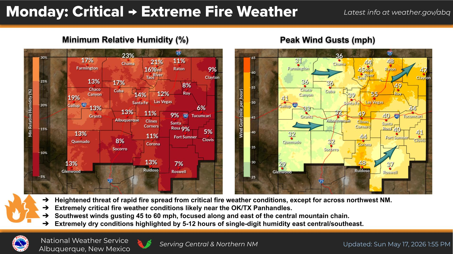
NWS Albuquerque Peak Wind Gust Forecast

Texas

Otero County

NWS El Paso Web Page

Southern New Mexico & Far West Texas Precipitation Forecasts

NWS El Paso Hazardous Weather Outlook

NWS El Paso Hazardous Weather Outlook
Click On The Image To See The Rest Of The Outlooks

NWS El Paso Hazardous Weather Outlook

NWS El Paso Hazardous Weather Outlook
Click On The Image To See The Rest Of The Outlooks

NWS El Paso Graphic Forecast

NWS El Paso Graphic Forecast

NWS El Paso Graphic Forecast

NWS El Paso Graphic Forecast

NWS El Paso Graphic Forecast

NWS El Paso Forecast High Temperatures Today

NWS El Paso Forecast Low Temperatures Tonight

NWS El Paso Wind Chill Forecast

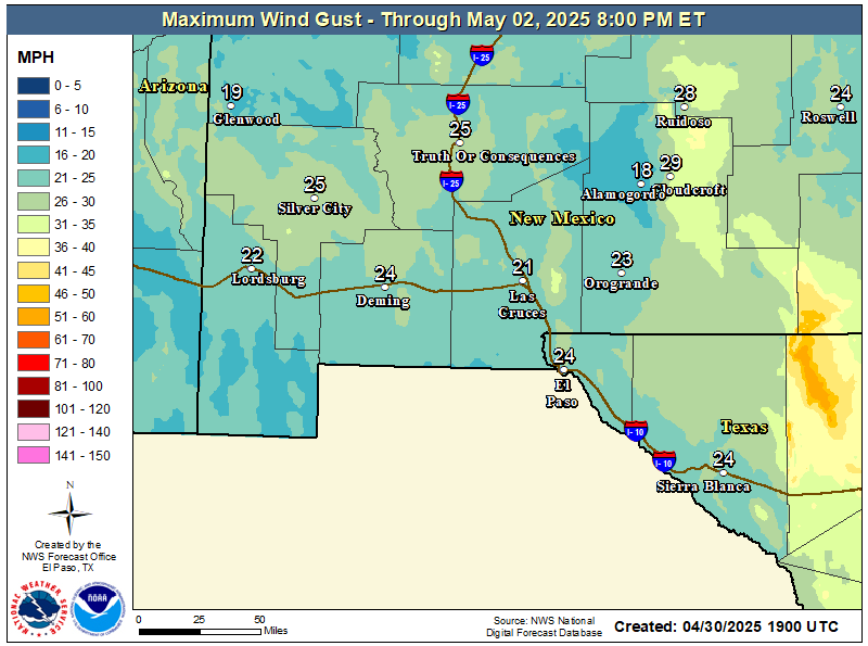
NWS El Paso Peak Wind Gust Forecast

NWS Lubbock Web Page

NWS Lubbock Web Page
Click On The Map To Open It Up

NWS Lubbock South Plains Precipitation Forecasts

NWS Lubbock Hazardous Weather Outlook

NWS Lubbock Hazardous Weather Outlook
Click On The Image To See The Rest Of The Outlooks

NWS Lubbock Hazardous Weather Outlook

NWS Lubbock Hazardous Weather Outlook
Click On The Image To See The Rest Of The Outlooks

NWS Lubbock Hazardous Weather Outlook

NWS Lubbock Graphic Forecast

NWS Lubbock Graphic Forecast

NWS Lubbock Graphic Forecast

NWS Lubbock Hi Temperature Forecast Today

NWS Lubbock Low Temperature Forecast Tomight

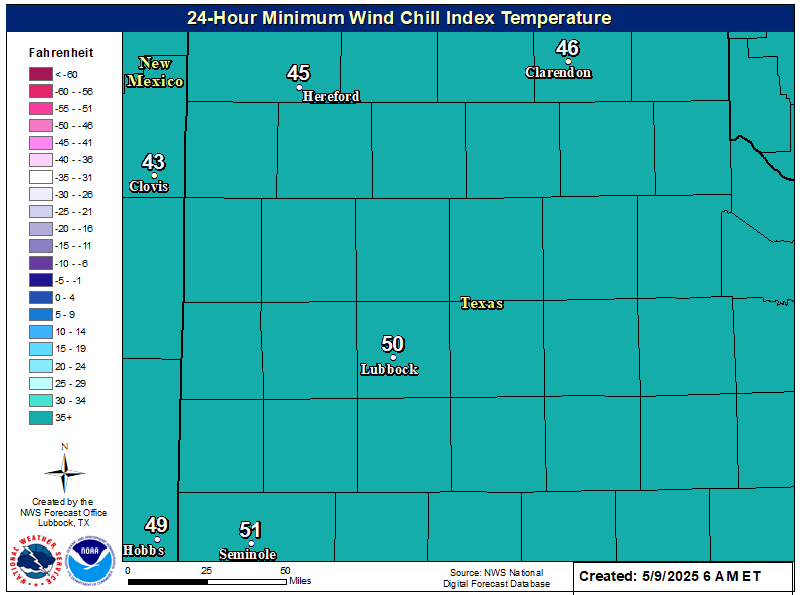
NWS Lubbock Wind Chill Forecast

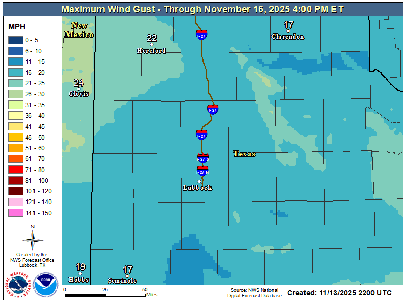
NWS Lubbock Peak Wind Gust Forecast

My Rainfall Totals - 2.1 NNW Downtown Carlsbad

My Rainfall Totals - 2.1 NNW Downtown Carlsbad

My Seasonal Snowfall Totals - 2.1 NNW Downtown Carlsbad

My Seasonal Snowfall Totals - 2.1 NNW Downtown Carlsbad

Disclaimer

This blog and its contents are for informational purposes only! Always have multiple sources of information available to rely upon during severe weather. Do not rely solely on the Internet. Be weather-aware, plan ahead, have a backup plan, and be ready to act before severe weather strikes your location.