Posts

Showing posts from March, 2021

Why Are My Weather Posts Missing From Facebook.

Hello everyone. I just wanted to let you know that my Facebook page was shut down without any warning by Facebook this past Saturday, June 8th. All I was told was that I had violated their community standards. I don't know what triggered that; they didn't tell me. I was told this may be permanent or for six months.
My guess is that it may be because I posted several comments and articles from my Substack page about the riots in LA, and that must have triggered/angered someone, and they complained, thus Facebook shut me down. I don't know this as fact, though. I have appealed this decision, and I'm still waiting for their reply. I have read on X that this has happened to other Facebook users posting about the LA riots as well.
I always share my weather blog posts (that I post here) on my Facebook page and my X page. This included over twelve different New Mexico and West Texas Facebook Community sites. So there are thousands of you out there (based on my views and shares of those posts) who will no longer see those posts. My Facebook page may or may not be restored.
This is another good reason (as the National Weather Service often reminds us) to have multiple ways of receiving severe weather alerts when severe weather threatens your location. My weather web page is one of those ways, and I really appreciate all of you who have and still do use it. Thank you so much!!!
If my Facebook page is restored, I will continue to share my weather blog posts and some of the NWS Watches and Warnings...as I have been doing for years now.

Almost 90º Today - Near Freezing Thursday morning.

Image
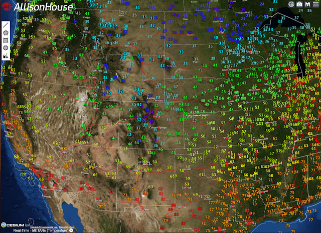
6 PM MDT Temperatures. Courtesy Of WeatherBell. Courtesy Of Oklahoma MesoNet Strong Cold Front Overnight! NWS Surface Map Forecast. Valid At 6 AM MDT Wednesday. Here at our home in Carlsbad , we climbed up to 89ºF while the Carlsbad Airport reached 88ºF for a high-temperature today. Artesia 81ºF, Roswell 80ºF, and Hobbs 75ºF. Say goodbye to these readings for a couple of days as a strong cold front moves south through the region tonight. High temperatures Wednesday and Thursday will be in the 50's & 60's warming into the 70's by Friday. Low temperatures Thursday morning will be chilly with most of the lower locations seeing the 30's. Scattered pockets of frost will be possible but at this time an overall killing freeze does not look likely except in the mountains. NWS NDFD Forecast High Temperatures. Wednesday. NWS NDFD Forecast Low Temperatures. Thursday Morning. ECMWF 10-Day Temperature Forecast. The Truth Is Stranger Than Fiction!

First Bout Of 90's - Second Week of April?

Image
ECMWF Forecast High Temperatures. Monday, April 5, 2021. Tuesday, April 6, 2021. ECMWF 10-Day Forecast. (Carlsbad, NM). Here Comes Summer? Are you ready to jump into summer yet? Probably not. Last night's European forecast model is forecasting this to happen in a week...the second week of April. Forecast highs first climb up into the low 90's across Southeastern New Mexico and parts of West Texas by Monday, April 5th. Tuesday, April 6th is forecast to see highs in the mid 90's.  Normal high/low temperatures for Carlsbad on April 6th is 77ºF/44ºF. Record high for April 5th is 93ºF in 2006 (Carlsbad Airport). Record high for April 6th is 94ºF in 2011 (Carlsbad Airport). Record high for April 6th is 95ºF in 1930 (Carlsbad Co-Op Climate Station). Record high for April 5th is 93ºF in 93ºF in 1967 (Carlsbad Co-Op Climate Station). So if this model is correct we would be entering daily record high-temperature territory on both days. The model trend at this point (March 28th) is mu...

Heavy Snow & Rain Falls Last Night & Today.

Image
Blog Updated 3-25-2021. March 1, 2021. Carlsbad, New Mexico. 72-Hour New Mexico Snowfall Totals. (As Of 5:00 PM Thursday, March 25, 2021). 72 -Hour Regional Rainfall Totals. (As Of 4 PM MDT Wednesday, March 24, 2021). New Mexico CoCoRaHS Rainfall & Snowfall Reports. (As Of 8 AM MDT Wednesday, March 24, 2021). NWS Albuquerque Rainfall & Snowfall Reports. • 1 SSW CHAMIZAL - 1.50 in.  • 1 NNE LEMITAR - 0.70 in.  • 2 W CARNUEL - 0.63 in.  • 1 NNW PLACITAS - 0.62 in.  • 2 NNW PLACITAS - 0.58 in.  • 6 NNE TAJIQUE - 0.45 in.  • 2 ENE CLAYTON - 0.42 in.  • 1 SSW SAN ANTONIO - 0.41 in.  • 8 ENE YESO - 0.40 in.  • 1 SSE COCHITI LAKE - 0.40 in.  •  SOCORRO - 0.37 in.  • 3 SSW FARMINGTON - 0.34 in.  • 1 SW FARMINGTON - 0.33 in.  • 2 SSW ARABELA - 0.31 in.  • 1 E SOCORRO - 0.31 in.  • 1 ESE AZTEC - 0.28 in.  • 5 W POJOAQUE - 0.28...

NWS Albuquerque Burn Scar Matrix

Current National Weather Service Watches/Warnings In Effect.

New Mexico

Chaves County Plains & Mtn's

Eddy County

Culberson County

Lea County

Lincoln County

Otero County

Current US Temps

Current US Wind Chill/Heat Index Temperatures

WPC 7-Day Precipitation Forecast

Roswell Live EarthCam

Ruidoso Live Webcam

Cloudcroft Live Webcam

NWS Midland 3-Day Precipitation Forecast

NWS Midland 3-Precipitation Chances

New Mexico 3-Day Precipitation Forecast

New Mexico Precipitation Chances

NWS El Paso 3-Day Precipitation Forecast

NWS El Paso Precipitation Chances

US 24-Hour Precipitation Forecast

US 3-Day Precipitation Forecast