

Significant High Wind-Blowing Dust-Critically Dangerous Fire Weather Event Tuesday.

Near Wal Mart On North 13th St In Artesia, NM - Feb 28, 2012.
Hopefully Tuesday's event will not be as bad as this one was 5 years ago. Blowing dust reduced the visibility down to zero at the junction of North 13th Street and U.S. Highway 285 north of Artesia at 12:30 PM MST. This resulted in a 15 vehicle pile up that injured 10 people.
Significant High Wind - Blowing Dust - Critically Dangerous Fire Weather Event Tuesday.
Very Strong Wind Aloft Tuesday.

Valid @ 11 AM MST Tuesday.

Valid @ 11 AM MST Tuesday.
NAM 500 MB (18,000' MSL) Jet Stream Forecast.

Valid @ 11 AM MST Tuesday.
NAM 700 MB (10,000' MSL) Jet Stream Forecast.

Valid @ 11 AM MST Tuesday.
A potent subtropical jet stream wind speed max will be traversing the area overhead on Tuesday. Computer models are forecasting the winds aloft to be very strong over the area with forecast wind speeds by around noontime to be around 180 mph at 39,000', 160 mph at 30,000, 110 to 115 mph at 18,000', and 75-85 mph at 10,000'.

Valid @ 11 AM MST Tuesday.
As the very strong winds aloft begin to mix downward towards the surface, a strong surface low is forecast to deepen over extreme southwestern Kansas by noontime. Thus a tightening surface pressure gradient will develop which will help enhance and strengthen the surface winds Tuesday.


High Wind Watches and Warnings, Wind Advisories, Red Flag Warnings, Fire Weather Watches, and Special Weather Statements have already been put in place concerning today's and tomorrow's winds, Blowing Dust, and Critically Dangerous Fire Weather Conditions.
Locally southwesterly winds are forecast to gust up to around 50 mph this afternoon across the Southeastern Plains of New Mexico and parts of West Texas, and close to 65 mph on Tuesday.
Southwesterly winds are forecast to gust up to around 65 mph this afternoon in the Guadalupe Mountains, and near 80 mph on Tuesday. Across the Sacramento and Capitan Mountains southwesterly winds are forecast to gust up to 60 to 65 mph on Tuesday.
For the latest up to date Watches, Warnings, and Special Weather Statements concerning this spring-like high wind event please click on the links below:
Texas
Texas
Localized areas of blowing dust will be possible this afternoon but a more widespread blowing dust event is expected for Tuesday. Watch for sudden drops in the visibility today down to around 1 mile during the strongest wind gusts.
Sudden drops in the visibility down to zero will be possible Tuesday. This will be especially true over and near the following areas: Freshly plowed or exposed farmlands, fields, lots, and construction sites. Southeastern New Mexico and parts of Southern New Mexico and West Texas have a long history of vehicle pileups during blinding dust storms. That potential may occur on Tuesday with widespread areas of blowing dust in the high winds.


Suffice to say that once again the region will be under the gun concerning Critically Dangerous Fire Weather Conditions today and Tuesday. Once again folks please refrain from any outside activity that involves the use of sparks or open flames...especially on Tuesday. Any wildfire that should develop will have the ability to rapidly spread and grow in the high winds. And if a grass fire breaks out along or near highways the smoke possibly to combine with the blowing dust to make travel near these areas extremely dangerous due to the severely limited visibility.


Valid @ 11 AM MST Wednesday.
NWS NDFD Storm Total Snowfall Forecast.

Valid @ 11 AM MST Wednesday.
Unseasonably Warm Today & Tuesday.

NWS NDFD Forecast Temperature Anomalies Tuesday.

So Why Such A Warm Winter?

(January 1st - February 25th, 2017).


Check out how warm the Pacific Ocean is compared to normal. So when you transport that warm air east and northeastward into the U.S. during winter guess what happens...we have a warm winter. For a more detailed explanation of this click on this link and read the Albuquerque National Weather Service Offices summary of what has happened. It appears that our wind machine is just getting cranked up with more high wind and blowing dust events to come as we transition out of winter into spring. Looking down the road it appears that El Niño will make a comeback possibly as early as April so look for a very wild and active spring this year.
Its Really Pretty Fundamentally Simple.
(When The Oceans Heat Up So Does The Plant & Visa Versa).
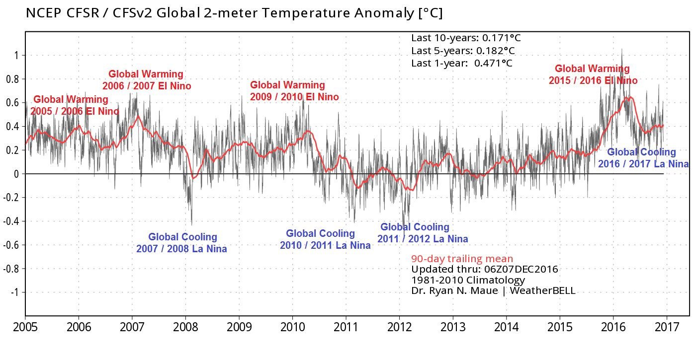


Cold PDO 1945-1979= Global Cooling.
Warm PDO 1979-2000= Global Warming.
Cold PDO 2000-2013= Global Cooling
Warm PDO 2013-2017= Global Warming.
Only if life was so easy. Too bad we can't just simply our understanding of the weather and climate and say that when the Oceans warm up so does the planet. This does happen to a degree but we must also consider the other factors at play. This includes Atmospheric -Oceanic Oscillations/ Teleconnections, El Niño and La Niña events, and the Madden- Julian Oscillation (MJO), And most importantly what is going on with the sun.
Meteorologist Joe Bastardi published a really good article back in August of 2013 titled "The Triple Crown Of (Climate) Cooling." A must read in my opinion. Turbulent times are ahead in the years to come as Solar Cycle 24 continues to weaken and sunspots become less and less frequent. See this article from Vencore Weather for more: "Solar Cycle 24 Continues Historically Weak Pace And Cosmic Rays Are On The Rise."
The Truth Is Stranger Than Fiction!


Comments
Post a Comment
Your comments, questions, and feedback on this post/web page are welcome.