

Extremely Critically Dangerous Fire Weather Conditions Thursday!

Theme Of The Day Thursday.
High Winds & Blowing Dust!
Valid @ 2 PM MST Thursday.

Valid @ 11 AM MST Thursday.
GFS Surface & Precipitation Type Forecast.

Valid @ 11 AM MST Thursday.
Lots Of Wind & Dust Thursday.
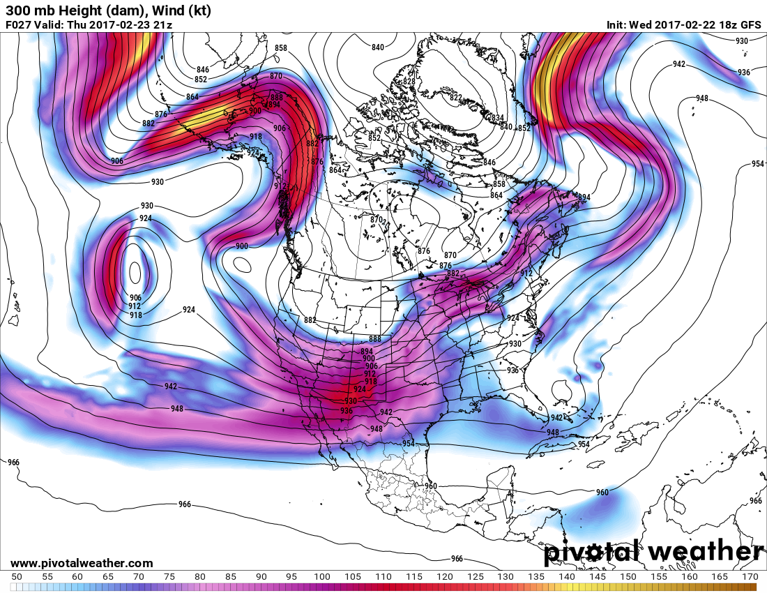
Here we go...another windstorm and dust storm Thursday. A deep surface low is forecast to wrap up over southeastern Colorado on Thursday in response to a cold mid and upper level trough of low pressure swinging across the Central and Southern Rockies. A jet stream wind speed max (115-120 knots or 130 to 140 mph) located at about 30,000' Mean Seal Level (MSL) will be traversing the state during the afternoon. Meanwhile the strong mid level winds will be begin to mix down to the surface late in the morning as the surface low deepens. Meaning that one windy and dusty day in on tap for us.

High Wind Watches,Warnings, and Wind Advisories are already in effect for much of New Mexico and West Texas. Across the lower elevations west winds are forecast to increase tonight into Thursday at sustained speeds of 25-45 mph with gusts in the 50 to 60 mph range. Across the Guadalupe Mountains and parts of the Sacramento Mountains west winds are forecast to increase to 40 to 55 mph with gusts near 60 - 70 mph. Some damage from these winds may occur in a few spots.
Of course this will produce areas of blowing dust that will hamper visibilities. As always this will be especially true near normally dust prone areas such as: Open fields, exposed or freshly plowed farmland, lots, and construction sites. During the highest gusts and over and near these areas the visibility easily could suddenly drop down to zero with little to no advanced warning.


Combine the high winds, extremely dry conditions with single digit relative humidity values and extremely dangerous Fire Weather Conditions will exist across the local area Thursday. Any accidental fire or wildland, rangeland, or forest fire will have the ability to rapidly spread and grow. This potentially could also cause extremely dangerous conditions on our local highways should a fire break out and the smoke combine with the blowing dust.
Unusual Warmth For February Continues.
(Feb 1st - Feb 21st).

U.S. GFS Forecast Temperature Anomalies.

Valid @ 11 AM MST Thursday.
NWS NDFD Forecast High Temperatures Thursday.

NWS NDFD Temperature Anomaly Forecast Thursday.

A Pacific Cold Front will sweep east across the region Thursday into Thursday night. After seeing high temperatures in Southeastern New Mexico and West Texas climb up into the upper 80's to near 90, a cooler air mass will overspread the area behind the front with our afternoon highs dropping down into the 60's on Friday and Saturday.
The Truth Is Stranger Than Fiction!


Comments
Post a Comment
Your comments, questions, and feedback on this post/web page are welcome.