


Pattern Change Emerging Towards Cooler Weather - Freeze Data For SE NM.

At 2:30 PM MDT Sunday, Oct 11, 2020.
RTMA 24-Hour Change In Temperatures.


At 2:30 PM MDT Sunday, Oct 11, 2020.
Summers Desperate Attempt To Hang On.
Early afternoon temperatures in New Mexico range from the 50's in the northern New Mexico Mountains to the low to mid 90's across the Southeastern Plains as of 2:30 PM MDT this Sunday afternoon. Summer just refuses to let go this year but that is fixing to change. Southwesterly winds are gusting up to around 30 to 40 mph across much of the state.
Cold Front Arrives Around Sunrise Monday Morning.

A dry southward moving cold front will arrive in Southeastern New Mexico just before sunrise Monday morning. Gusty northerly winds of around 25-35 mph will accompany the frontal passage. Cooler temperatures will overspread the area behind the front on Monday with afternoon highs in the 60's and 70's in the Sacramento Mountains and the upper 70's to near 80's across the Southeastern Plains. Lows Tuesday morning are forecast to range from the 30's in the Sacramento Mountains to the 40's across the Southeastern Plains.


Monday.

Thursday.
 At 6:00 PM MDT.

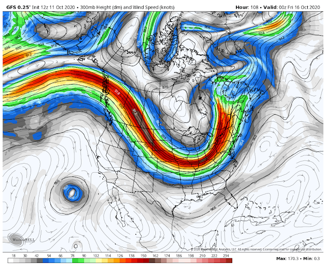
A Pattern Change Is Emerging.
Slowly but surely the upper air pattern across North America is undergoing a change. The Polar Jet Stream is becoming stronger with time as it dips a little further to the south with each new buckle in the flow aloft. This in turn is sending these southward moving cold fronts into our region. The death ridge that has plagued the area for the summer and the beginning is getting pushed further to our west. This looks to be the trend for the next couple of weeks.
As noted by the GEFS (GFS Model Ensemble Forecast) above the 16-day temperature forecasts reflect a cooling off over the area with time. These temps may be a little too cool in some places but overall the trend is for us to start seeing our daytime highs and nighttime lows closer to seasonal averages over the next two weeks.
We cool down Monday into Tuesday morning with the first cold front then rebound quickly on Tuesday and Wednesday afternoon with highs back in the low to mid 90's. I know I'm tired of it too. Wednesday night yet another dry cold front enters the area cooling us back down Thursday and Friday. Our thermometers will be riding a roller coaster for a while...up and down. But overall we will see our nights get colder and in time our day's cooler also. The bad new is that there still is no hope for any rain or snow in the next two weeks.
So when will we see our first frost this season? Listed below is the historical first freeze data for the local area. Typically we see our first freeze the last week of October into the first week of November.
Roswell Weather Service Office.


Artesia Climate Co-Op Station.


Carlsbad Airport.


Hobbs Climate Co-Op Station.


The Truth Is Stranger Than Fiction!


Comments
Post a Comment
Your comments, questions, and feedback on this post/web page are welcome.