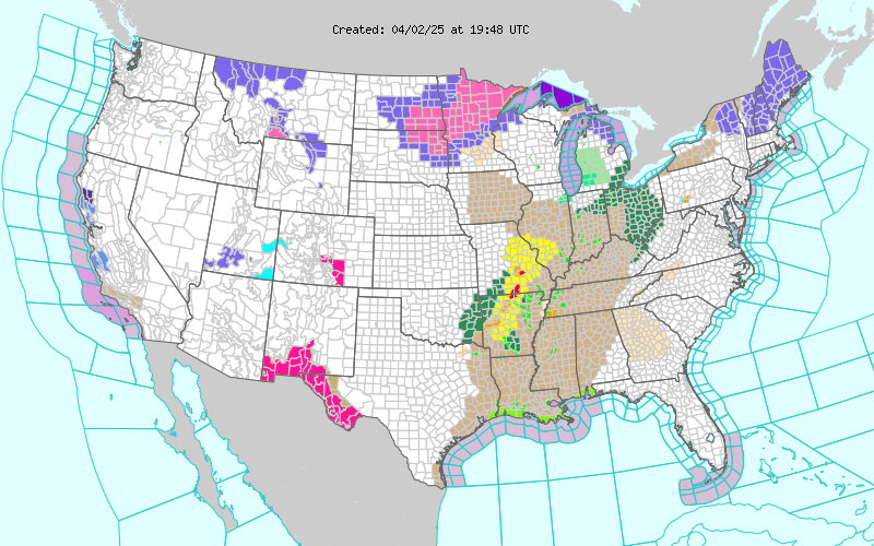
Severe T-Storms Near The State Line This Afternoon/Evening.

Today's Severe Weather Outlook. Scattered severe thunderstorms will be possible late this afternoon and evening mainly over the Permian Basin of West Texas. An approaching upper level disturbance interacting with the dryline will be the focusing mechanisms for this activity. A few severe thunderstorms may possibly fire up in extreme Southeastern New Mexico near the New Mexico/Texas State line late this afternoon. Supercell thunderstorms will be possible this afternoon and evening. Large hail, damaging thunderstorm wind gusts in excess of 60 mph, frequent deadly cloud to ground lightning, and locally heavy rainfall will be possible with any of these storms. A few isolated tornadoes will also be possible. Hot Tuesday. NWS NDFD Forecast High Temperatures Tuesday. Hot weather returns to the area by this coming Tuesday with forecast high temperatures ranging from the low to mid 90's across Southeastern New Mexico and parts of West Tex...


