

100º Temps Forecast For Much Of SE NM UFN.

This past Sunday we topped out at 105ºF for the highest temp so far this month and year as did the Carlsbad Climate Co-Op Station. The Roswell Airport has reached 103ºF on the 10th and 17th.

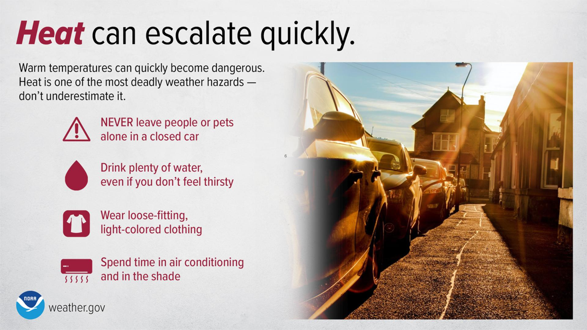
 💡Did You Know: The effects of extreme heat can be cumulative? With temperatures in the 100s expected to stick around through next weekend, it is important to remember heat safety tips in order to protect yourself. Do your best to stay hydrated, and limit your time outdoors during the hottest time of day (if possible). Also, be aware of those who are particularly vulnerable to the heat, like children, the elderly, and those who are sick. Make phone calls or visit people to check on them, especially if they do not have air conditioning. Also, remember your pets, as the heat can affect them as much as it affects us! Stay safe!
  ☀️
☀️
Today - Memorial Day 2018.


Tuesday.


Wednesday.


Thursday.


Friday.


Saturday.


Sunday.


(Carlsbad, New Mexico).

8-14 Day Temperature Outlook.

Very Hot Week Ahead & Beyond.
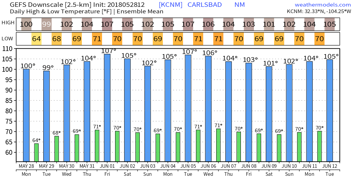
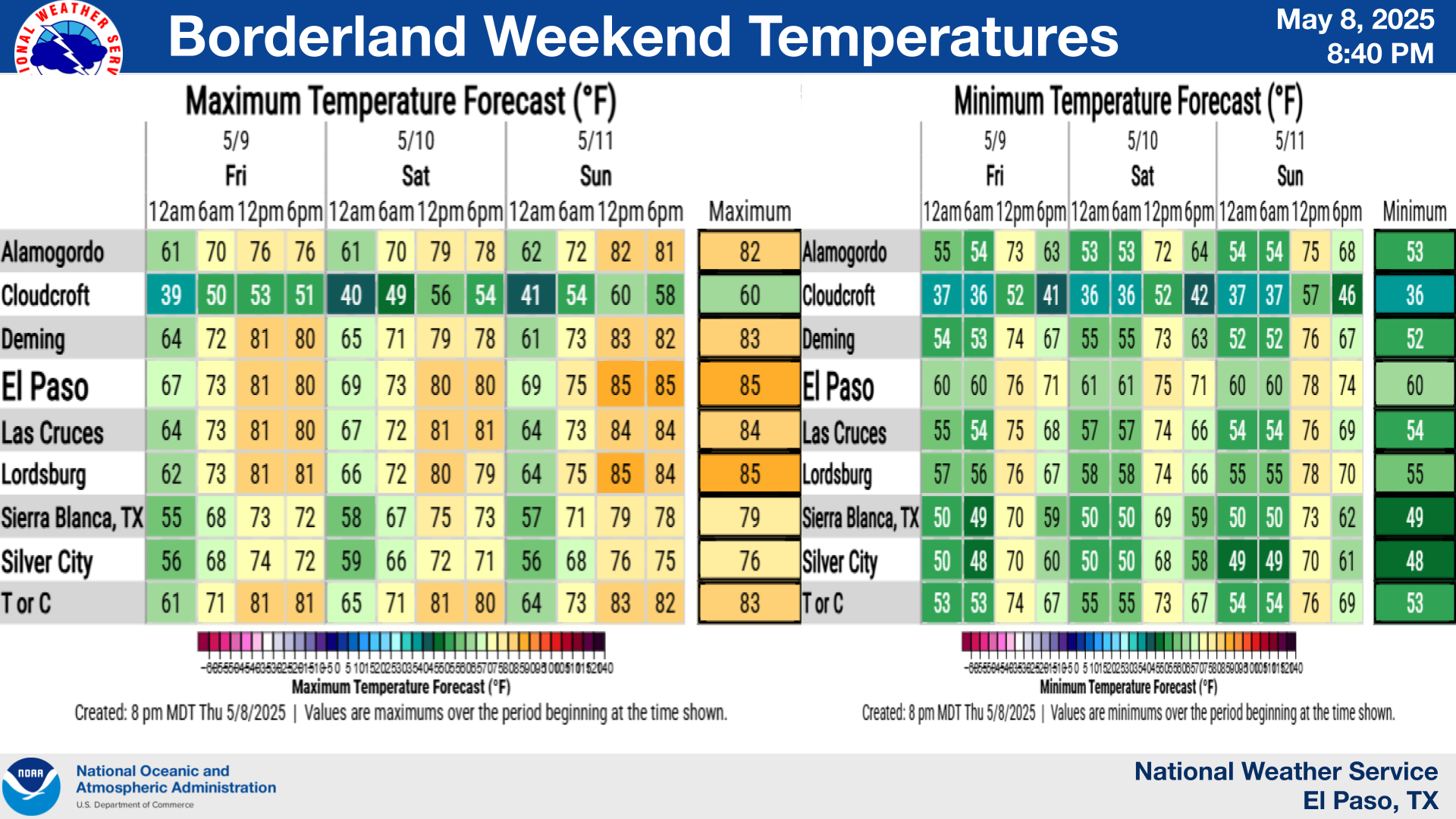
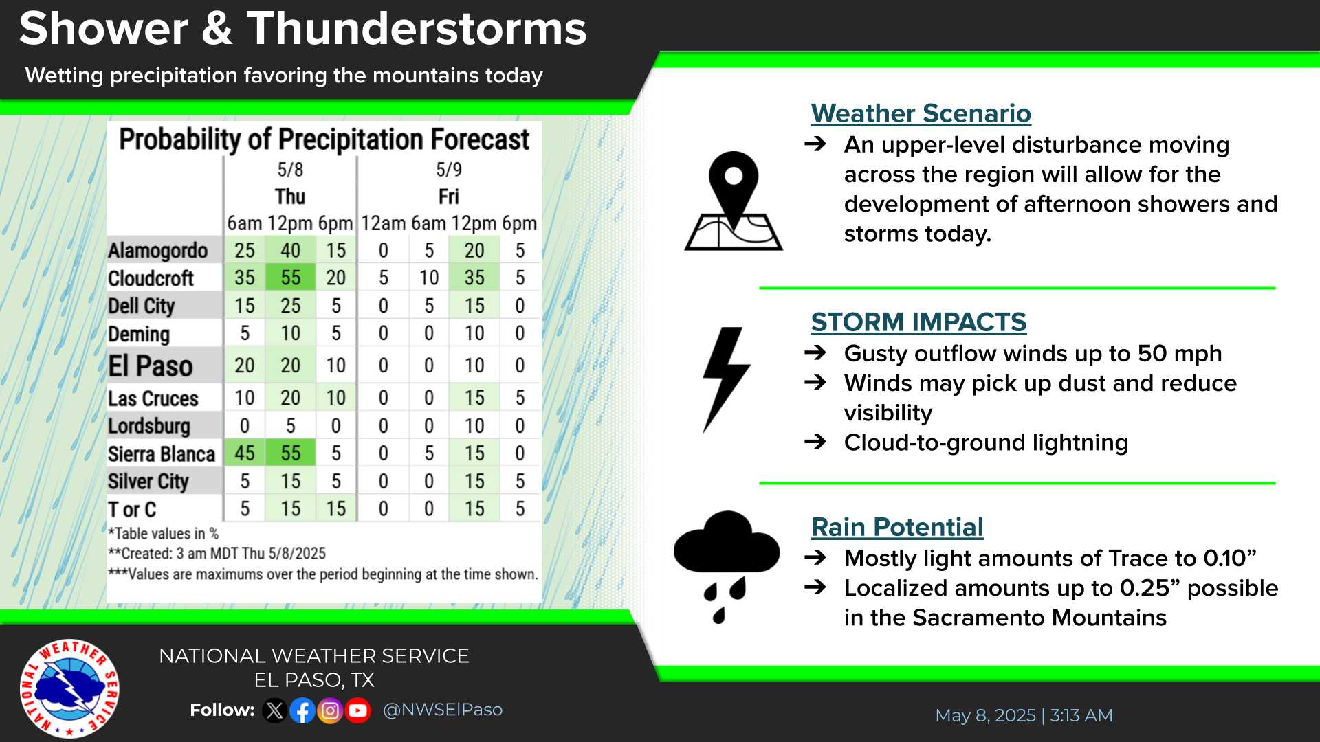
Same ol song and dance from the models with more of the same. Hot and hotter with not a drop of rain in sight. In fact Friday still looks like we may top 110ºF in a few spots including the Carlsbad area. Friday will be June 1st so this will be a scorcher for the meteorological beginning of the summer. This mornings ensemble run of the GFS model keeps Carlsbad at or above 100ºF for the upcoming 16 days. Daily record high temperatures will be threatened at times over the next week and possibly beyond.
The Truth Is Stranger Than Fiction!































Comments
Post a Comment
Your comments, questions, and feedback on this post/web page are welcome.