Current Date & Time

Russian Scientist — New Little Ice Age Near.


 Dr. Abdussamatov is a well respected scientist in the international community. I doubt that many here in the U.S. have ever heard of him though. He has held onto his convictions on this thought since the 1970's. He has mostly been ignored up until recently when the sun started going quiet. If you've been worrying about Global Warming, then you've been barking up the wrong tree...Global Cooling is what is coming, and soon.

Russian Scientist — New Little Ice Age Near-

"Forecasting a temperature drop in approximately 2014-

Dr. Habibullo Abdussamatov, head of space research at Pulkovo Astronomical Observatory in St. Petersburg, Russia, is suggesting the next Grand Minimum in this paper: Bicentennial Decrease of the Total Solar Irradiance Leads to Unbalanced Thermal Budget of the Earth.

“From early 90s we observe bicentennial decrease in both the TSI and the portion of its energy absorbed by the Earth,” says Abdussamatov. “The Earth as a planet will henceforward have negative balance in the energy budget which will result in the temperature drop in approximately 2014.”


 "From early 90s we observe bicentennial decrease in both the TSI and the portion of its energy absorbed by the Earth. The Earth as a planet will henceforward have negative balance in the energy budget which will result in the temperature drop in approximately 2014. Due to increase of albedo and decrease of the greenhouse gases atmospheric concentration the absorbed portion of solar energy and the influence of the greenhouse effect will additionally decline. The influence of the consecutive chain of feedback effects which can lead to additional drop of temperature will surpass the influence of the TSI decrease. The onset of the deep bicentennial minimum of TSI is expected in 2042±11, that of the 19th Little Ice Age in the past 7500 years – in 2055±11."

See Also-


Astrophysicist forecasts 19th Little Ice Age in the past 7500 years


The Truth Is Stranger Than Fiction! 

My Web Page Is Best Viewed With Google Chrome.

Comments

  1. Now, this's something worth reading on the topic of climate trends, as opposed to what is so parroted in our pop culture. Sun, lengths of periods of record, sun, number of wx reporting stations, sun, comprehensive lists of past colder and warmer periods for more accurate comparisons, sun, interactions of air over ocean and land masses, etc...

    Sorry to exaggerate that pesky sun!

    ReplyDelete
  2. Common sense dictates that the great big yellow ball of fire in our sky drives our planetary weather, and climate cycles.

    What is shocking is how many scientists have yet to discover this fact...and to think that the truth is only 8 minutes away!

    ReplyDelete

Post a Comment

Your comments, questions, and feedback on this post/web page are welcome.

My Blog Archive List (July 2010 - August 2025).

Show more

My Current Weather Conditions

MY CoCoRaHS Precipitation Data

NWS Albuquerque 2026 Winter Outlook (Updated Nov 3rd).

NWS Midland Web Page

NWS Midland Web Page
Click On The Map To Open It Up

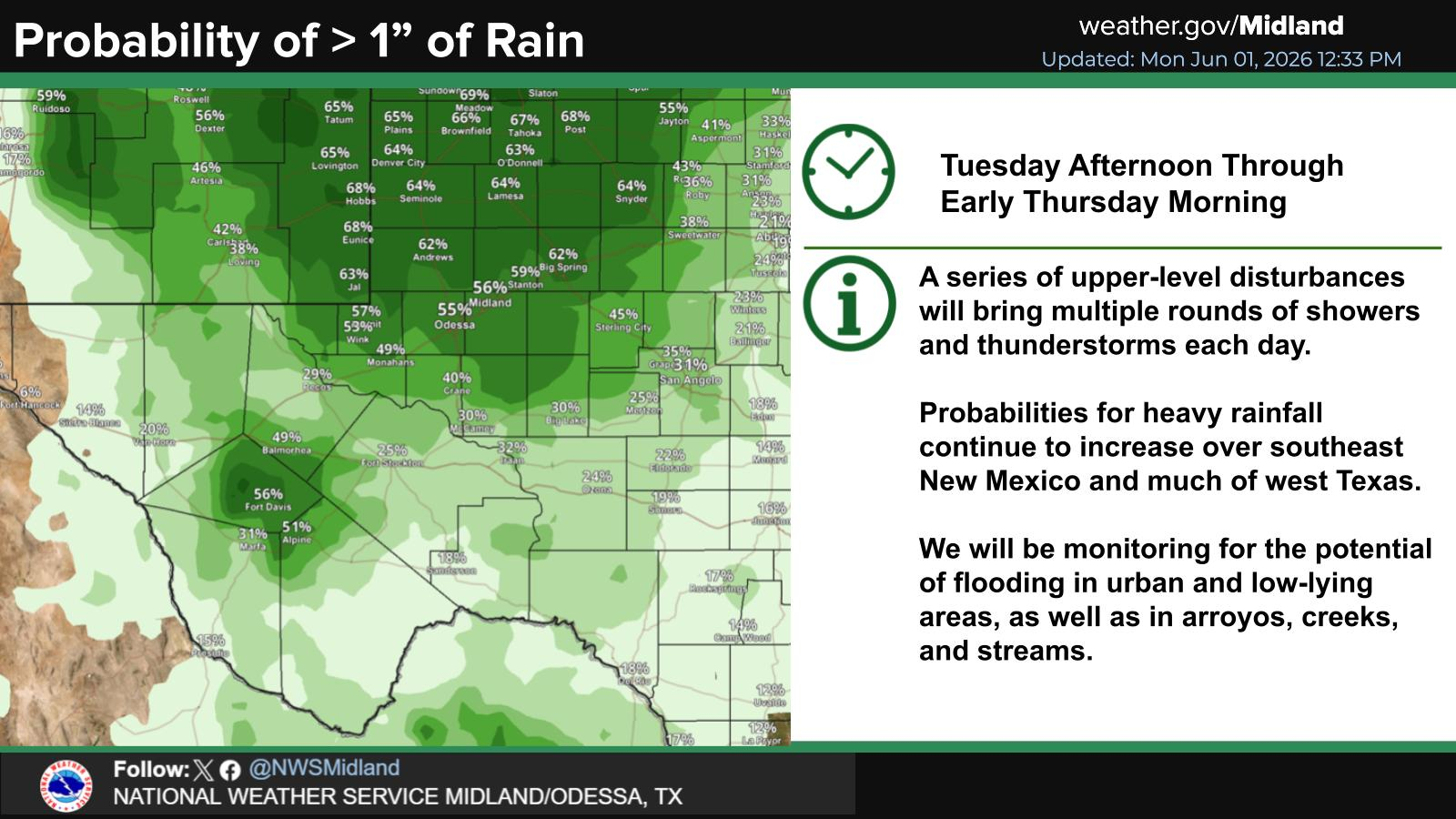
SE New Mexico & West Texas Precipitation Forecasts

Eddy County

Guadalupe Mtns Eddy & Culberson County

Lea County

NWS Midland Forecast High Temperatures Today

NWS Midland Forecast Low Temperatures Tonight

NWS Midland Peak Wind Gust Forecast

NWS Midland Graphic Forecast

NWS Midland Graphic Forecast
Below normal highs today with temperatures in the upper 40s to mid 50s. Clouds remain across most areas today with light drizzle possible.

NWS Albuquerque Web Page

NWS Albuquerque Web Page
Click On The Map To Open It Up

NWS Albuquerque New Mexico Precipitation Forecasts

New Mexico

Chaves County Plains & Mtn's

Lincoln County

NWS Albuquerque Hazardous Weather Outlook

NWS Albuquerque Hazardous Weather Outlook

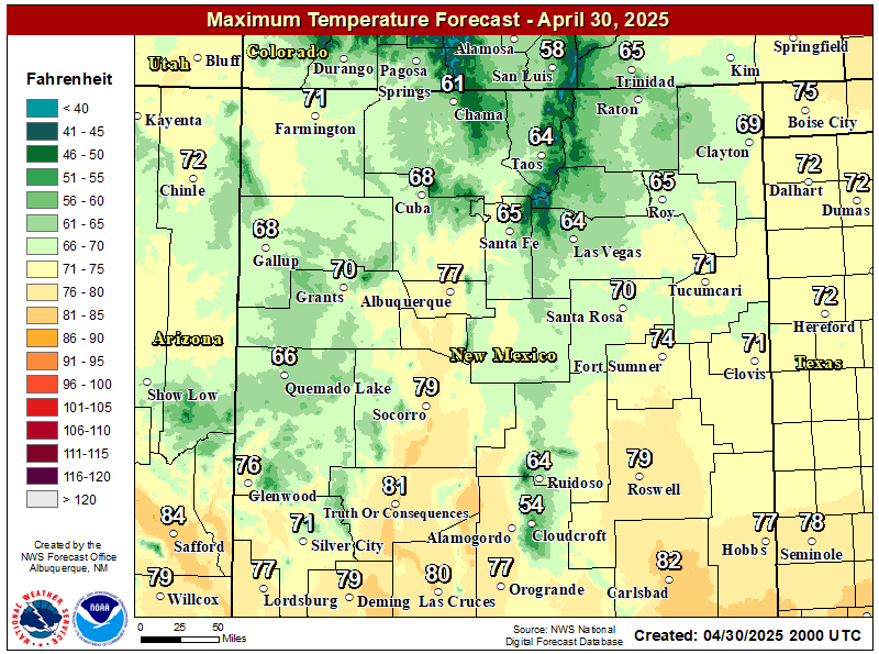
NWS Albuquerque Forecast High Temperatures Today

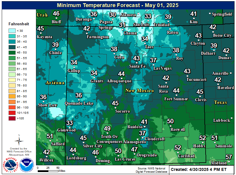
NWS Albuquerque Forecast Low Temperatures Tonight

NWS Albuquerque Wind Chill Forecast

NWS Albuquerque Peak Wind Gust Forecast

NWS Albuquerque Graphic Forecast

NWS Albuquerque Graphic Forecast
Increasing south to southwest winds are expected across some parts of northern and central NM Tuesday ahead of an approaching storm system. Some difficult crosswinds on east to west oriented roadways. Unsecured objects may blow around.

NWS Albuquerque Graphic Forecast

NWS Albuquerque Graphic Forecast
Calmer weather continues today before the next storm brings rain and mountain snow chances across western and central New Mexico Tuesday evening through Wednesday morning. Another storm is poised to bring rain and mountain snow chances to northwest and north central New Mexico Friday.

NWS El Paso Web Page

Southern New Mexico & Far West Texas Precipitation Forecasts

Texas

Otero County

NWS El Paso Hazardous Weather Outlook

NWS El Paso Hazardous Weather Outlook
Click On The Image To See The Rest Of The Outlooks

NWS El Paso Hazardous Weather Outlook

NWS El Paso Hazardous Weather Outlook
Click On The Image To See The Rest Of The Outlooks

NWS El Paso Forecast High Temperatures Today

NWS El Paso Forecast Low Temperatures Tonight

NWS El Paso Wind Chill Forecast

NWS El Paso Peak Wind Gust Forecast

NWS El Paso Graphic Forecast

NWS El Paso Graphic Forecast
A cold front will move across the region tonight and that will give us high temperatures on Monday a little below average. Our winds will be light. Most of us will see plenty of sun, but some lower clouds will sneak into Otero and Hudspeth Counties behind the cold front.

NWS Lubbock Web Page

NWS Lubbock Web Page
Click On The Map To Open It Up

NWS Lubbock South Plains Precipitation Forecasts

NWS Lubbock Hi Temperature Forecast Today

NWS Lubbock Low Temperature Forecast Tomight

NWS Lubbock Graphic Forecast

NWS Lubbock Graphic Forecast
Fog is likely across the region through late morning. While the fog will lift, clouds will remain through the rest of the day and through the night. This will keep highs near 50 and lows in the upper 30s to mid 40s.

NWS Lubbock Graphic Forecast

NWS Lubbock Graphic Forecast
After starting off foggy and cool, the week will eventually warm into the 60s. Shower and thunderstorm chances return Thursday.

My Rainfall Totals - 2.1 NNW Downtown Carlsbad

My Rainfall Totals - 2.1 NNW Downtown Carlsbad

My Seasonal Snowfall Totals - 2.1 NNW Downtown Carlsbad

My Seasonal Snowfall Totals - 2.1 NNW Downtown Carlsbad

Disclaimer

This blog and its contents are for informational purposes only! Always have multiple sources of information available to rely upon during severe weather. Do not rely solely on the Internet. Be weather-aware, plan ahead, have a backup plan, and be ready to act before severe weather strikes your location.