


Significant High Wind/Blowing Dust Event Possible Tuesday!

First 90-Degree Temps Sunday.
Sunday afternoon saw the local area's first 90-degree high temps for the year. Reported high temperatures ranged from 92 at the Roswell and Carlsbad Airports, 90 at the Artesia and Hobbs Airports, to 75 at the Sierra Blanca Regional Airport northeast of Ruidoso, and 60 at the Cloudcroft National Weather Service Climate Co-Op Station. My afternoon high temp here at our home in Carlsbad was 94. This afternoon high temperatures are forecast to be close to Sunday's readings.


ECMWF 500 MB (18,000' MSL) Forecast.

Late last night our next strong Spring Storm was centered west of San Francisco and is forecast to dive southeastward rather quickly today into tomorrow. This inbound storm will produce a variety of weather across the area including high winds, blowing dust, rain, and snow showers, and Critically Dangerous to Extremely Critically Dangerous Fire Weather Conditions. This storm will be sweeping across the area faster than last week's storm so it will produce less rain and snow.
Critically Dangerous Fire Weather Conditions Today - Extremely Critically Dangerous Fire Weather Conditions Tuesday!

Storm Prediction Center Outlook Tuesday.


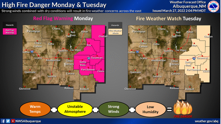
With strong/high winds slated to rake the area this afternoon into Wednesday the fire danger is going through the roof. Critically Dangerous Fire Weather Conditions are forecast today and this escalates to Extremely Critically Dangerous Fire Weather Conditions Tuesday! Single-digit relative humidity values, combined with the prevailing critical to extreme drought conditions will combine with the strong/high winds to produce life-threatening fire weather conditions today and especially Tuesday.
Any wildland, grass, range, or forest fires that may develop will have the ability to rapidly spread and grow today but more so Tuesday into Tuesday evening. These fires will be extremely difficult if not impossible to control in the high winds. Life and property could potentially be threatened by these fast-moving raging fires. Sadly we have already seen this happen in parts of Texas and other nearby areas this season.
Smoke from these fires could combine with thick clouds of blowing dust, especially on Tuesday to suddenly reduce the visibility to zero with little to no warning. Simply put please avoid all outdoor activities today and Tuesday that could potentially produce sparks or flames.
Strong Winds This Afternoon - A Significant High Wind & Blowing Dust Event Tuesday!
With the approaching mid-upper level storm and its associated Pacific cold front swinging across New Mexico on Tuesday, and the rapidly deepening surface low over southeastern Colorado and Kansas, a significant high wind and blowing dust event is forecast area-wide.
Strong southwesterly winds sustained at around 15-25 mph with stronger gusts this afternoon are forecast across the lower elevations of the Southeastern Plains and nearby areas. These winds will increase to sustained speeds of 30-50 mph with gusts near 60-70 mph Tuesday into Tuesday evening. Shifting to the west and northwest Tuesday evening and night.
West winds are forecast to gust up to around 35-45 mph today into tonight across the Guadalupe Mountains of Southeastern New Mexico and West Texas. These winds are forecast to increase to sustained speeds of 45-55 mph with gusts near 80 mph on Tuesday.
High Wind Watches are in effect for all of Southeastern New Mexico, the Sacramento, and Guadalupe Mountains. These will likely be upgraded to High Wind Warnings later today or early Tuesday. Additional High Wind Watches and or Wind Advisories may also be issued for other local areas not currently covered.
It's possible that a few locations could see higher gusts. There is also the potential for wind damage Tuesday with the stronger gusts. This will be especially true if those gusts reach or exceed 60 mph. Tree limbs could be broken, power lines and other utility cables downed, roofs on sheds, barns, and homes could be damaged. Agriculture irrigation equipment (sprinkler systems) could also be damaged or blown away. Outdoor unsecured objects could be blown about or damaged also such as trach barrels, trampolines, and carports.
Widespread blowing dust will develop and overspread the area on Tuesday greatly reducing the visibility and obscuring the sky. Localized sudden drops in the visibility down to zero with little to no advanced warning will occur with the strongest gusts. Especially over and near freshly cultivated or plowed farmlands, open or exposed fields and lots, and highway and other construction sites.
It's possible that some local roadways and highways could temporarily be shut down or closed during the worst of the wind gusts and blowing dust. Remember that the area has a history of vehicle accidents with injuries and fatalities during these blinding dust storms.
Today.

Tuesday.
Wednesday.

Day 2 Severe Weather Outlook.
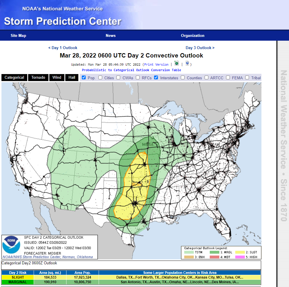
As the Pacific cold front races east and overtakes the dryline Tuesday night a few severe thunderstorms may develop of parts of the far eastern Permian Basin of West Texas. Severe thunderstorms are forecast to be more numerous and widespread further east and north into central and northern Texas, Oklahoma, and Kansas.

Valid Today Through 6 AM MDT Thursday.

Valid Today Through 6 AM MDT Thursday.


Scattered rain and high mountain snow showers are forecast to break out over the Sacramento and Capitan Mountains late tonight or early Tuesday morning. A few thunderstorms will also be possible with thundersnow in the forecast. Snow levels are forecast to lower down to around 7,000' Tuesday afternoon and evening. Current forecasts are calling for 1" - 4" inches of accumulating snow above 7,000'.
A few scattered light rain showers will be possible over parts of Southeastern New Mexico Wednesday into Wednesday night. But overall most of us will remain rain-free except for ample amounts of New Mexico rain...blowing dust.
The Truth Is Stranger Than Fiction!


Comments
Post a Comment
Your comments, questions, and feedback on this post/web page are welcome.