


Two Cold Fronts - T-Storms - What About Beryl?

June 26. 2024.
Double Rainbow East Of Artesia, NM.
June 26, 2024.
Double Rainbow.
East Of Artesia, NM.

Friday.

Saturday.

Sunday.

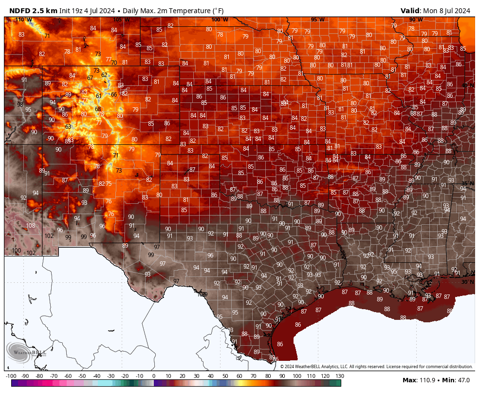
Monday.
National Blend Of Models (NBM) Total Rainfall Forecast.

Weather Prediction Center (WPC) 7-Day Total Rainfall Forecast.

Hurricane Beryl 5-Day Track Forecast.


Hurricane Beryl ATCF Track Forecast.


GFS 500 Millibar (18,000' MSL) Forecast.

Two Cold Fronts - T-Storms - What About Beryl?
A southward moving cold front will enter the southeastern plains this evening. Ahead of this approaching front scattered t-storms are beginning to fire over the area.
So far this 4th of July my high temp here at our home in Carlsbad had reached 107F. So far this summer I've reached 100F or higher on 25 days with my highest temps so far being the 109F on the 17th of June. I', done with summer...come on fall.
Cooler and muggier conditions will set up over the area behind the front tonight into Saturday with our daytime high temps forecast to only reach the low to mid 90's.
Our chances of seeing measurable rainfall this afternoon into Saturday night run generally in the 30% to 50% range for the southeastern plains. In the Sacramento mountains your chances for rain range from 20% to 70% today through Saturday night.
Some t-storms may persists well into the overnight hours tonight into Saturday night.
Sunday dries up some but another cold front moves south into the area on Monday yet again increasing our chances for scattered t-storms. A few severe t-storms are also possible this afternoon and evening.
It's summertime so any boomer has the potential to produce locally heavy rain. Localized flash flooding is also possible with the strongest storms and heaviest rains. A Flood Watch is in effect for Lincoln and Otero Counties in the Sacramento mountains for Friday. Of particular concern will be the recent and other burn scar areas which will be susceptible to catastrophic life-threatening flash flooding from t-storms that produce heavy to excessive rainfall in a short period of time.
Of course this is a concern tonight because of the local fireworks shows. Frequent cloud to ground lighting will accompany any storms that develops so remember...when thunder roars go indoors! If you can hear the thunder then you are close enough to get struck by the lightning.
Where Is Beryl Headed?
That's the million question everyone wants answered. Current forecast models and the NHC bring Beryl inland near Brownsville, Texas Monday morning as a Hurricane. Perhaps a category 1 or maybe a 2. Then the models forecast the remnant moisture from then Tropical Storm/Tropical Depression Beryl to move northwestward generally towards the Del Rio, Texas area by around Tuesday morning. Maybe moving as far north as West Texas by the middle of next week?
All of this is subject to change depending in part what happens to Hurricane Beryl after it crosses the Yucatan Peninsula on Friday and enters the Gulf of Mexico on Saturday. For now forecast models don't bring Beryl's remnant tropical moisture directly into New Mexico but again this may or may not change.
For those of you interested in my Substack posts on the Salt and South Fork forest fires in Ruidoso, New Mexico click on the links below:
There Are None So Blind As Those Who "Will - Not" To See...107.


Comments
Post a Comment
Your comments, questions, and feedback on this post/web page are welcome.