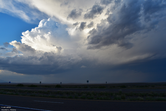
Stormy Today Into Tuesday - Severe T-Storms Likely!

September 30, 2023. Northwest Of Roswell, New Mexico. GFS 500 Millibar (18,000' MSL) Analysis. Valid At 6 AM MDT Sunday, Oct 1, 2023. Surface Map Forecast. Valid At 6 AM MDT Tuesday, Oct 3, 2023. GFS Storm Total Rainfall Forecast. Valid Today Through 6 AM MDT Wednesday, Oct 4, 2023. Storm Prediction Center (SPC) Severe Weather Outlooks. Today. Monday. Tuesday. NWS Midland Outlook On Monday. NWS Albuquerque Severe Weather Outlooks. Today. Monday. Stormy Today Into Tuesday - Severe T-Storms Likely! A very stormy period of weather is shaping up today into Tuesday for southeastern New Mexico and nearby areas . Once again this Sunday afternoon scattered thunderstorms are forecast to develop over and near the Guadalupe, Sacramento, and Capitan mountains. Then strengthen somewhat as they move east, and northeast out onto the eastern and southeastern plains. This afternoon into tonight a few of these thunderstorms are forecast to become severe producing damaging thunderstorm wind gusts in...


