Posts

Current Date & Time

My Current Weather Conditions

My CoCoRaHS Precipitation Data

My CoCoRaHS Precipitation Data

New Mexico & Texas Climate Data

Albuquerque International Ballon Festival Climatology

National Hurricane Center

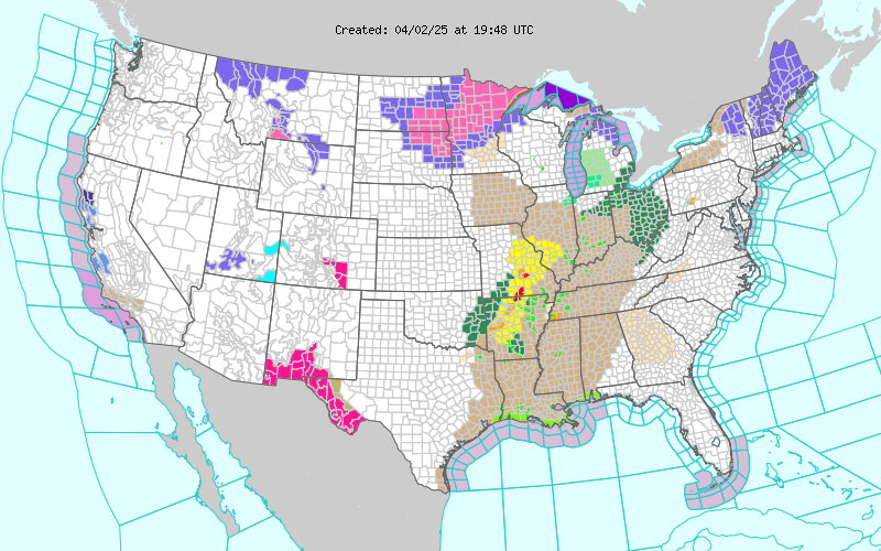
Current US Hazardous Weather Watch/Warning Map

New Mexico

Chaves County Plains & Mtn's

Eddy County

Guadalupe Mtns Eddy & Culberson County

Lea County

Lincoln County

Otero County

Texas

Arizona

Colorado

My Blog Archive List (July 2010 - August 2025).

Show more

Flirting With 80-Degrees.

Image
Click On The Maps To Enlarge Them. Today's Outlook. Today's National Weather Outlook. Our afternoon high temperatures yesterday were more like early spring readings than late winter readings across SE NM. Highs ranged from 75 here at my home in Carlsbad to 74 at the Artesia Airport (HCN), 74 at the Carlsbad Airport, 74 at the Paduca Raws, 72 at 10 miles ESE of Hagerman, 71 at the Roswell Airport, and 70 at the Hobbs Airport. Strong westerly winds are buffeting the Guadalupe Mountains at sunrise this morning. A High Wind Warning remains in effect through 5 PM MST this afternoon. Some of the stronger gusts being reported include 63 mph at the Bowl Raws, 60 mph at the Pinery Raws located in Pine Springs, and 56 mph at Guadalupe Pass. A Red Flag Warning is in effect for the Guadalupe Mountains today, and a Fire Weather Watch is in effect for all of SE NM and much of W TX for Thursday. Our afternoon high temperatures are forecast to be in the mid-upper 70's today. Simila...


70-Degree Temps Most Of This Week.

Image
Click On The Maps To Enlarge Them. Thursday's Weather. Map Is Courtesy Of The Midland NWS Office. Surface Map Forecast At 5 PM MST Thu Feb 23, 2012.  WRF-NMM 500 MB Forecast. Valid At 5 PM MST Thu Feb 23, 2012. Red Flag Warning Wednesday Afternoon. Fire Weather Watch Thursday.  My thermometer is showing 74-degrees at 1:20 pm this afternoon. Just a taste of what most of this week will be like. The exception will be Friday which is forecast to be cooler, with our afternoon highs forecast to be near 60. A cold front will move south into the area Thursday afternoon and evening providing the cooling for Friday. Westerly winds are forecast to kick up ahead of the front on Thursday and this will help to heighten the fire danger across the area. A Return To Colder Weather Next Week? ECMWF 500 MB Forecast. Valid At 5 AM MST Mon Feb 27, 2012. ECMWF 850 MB Forecast. Valid At 5 AM MST Mon Feb 27, 2012. I h...

NWS Regional Radar

NWS Regional Radar

My Precipitation Totals - 2.1 NNW Downtown Carlsbad

My Precipitation Totals - 2.1 NNW Downtown Carlsbad

My Seasonal Snowfall Totals - 2.1 NNW Downtown Carlsbad

My Seasonal Snowfall Totals - 2.1 NNW Downtown Carlsbad