Posts

Current Date & Time

My Current Weather Conditions

My CoCoRaHS Precipitation Data

My CoCoRaHS Precipitation Data

New Mexico & Texas Climate Data

Albuquerque International Ballon Festival Climatology

National Hurricane Center

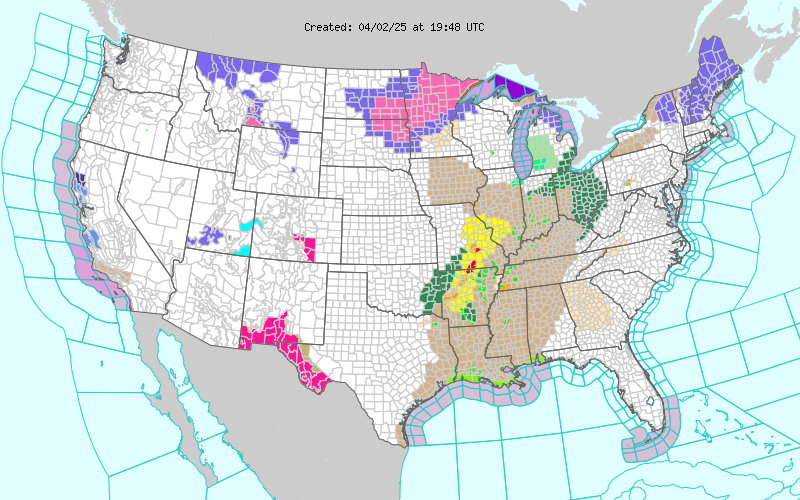
Current US Hazardous Weather Watch/Warning Map

New Mexico

Chaves County Plains & Mtn's

Eddy County

Guadalupe Mtns Eddy & Culberson County

Lea County

Lincoln County

Otero County

Texas

Arizona

Colorado

My Blog Archive List (July 2010 - August 2025).

Show more

Increasing Rain Shower Activity Today Across SE NM & W TX.

Image
My SE NM Radar Snapshot. Valid @ 7:49 AM MDT This Morning. Latest Infrared (IR) Satellite Image. Valid @ 6:15 AM MDT This Morning. Radar is coming alive across Far West Texas and the Big Bend Country this morning. The upper level low I've been talking about was located just east of the southern tip of the Baja Peninsula along the Mexican Coast at midnight last night. As the day progresses it will continue lifting northeastward. As it does the counter clock-wise flow around it at the mid levels of the atmosphere will continue to pump abundant moisture into southern New Mexico and West Texas through tomorrow. This process is already underway as seen on the IR Satellite image above. 12Z HRRR Simulated Composite Radar Forecasts. Valid @ Noon MDT Today. Valid @ 3 PM MDT Today. Valid @ 6 PM MDT Today. Valid @ 9 PM MDT Tonight. 12Z HRRR Total Rainfall Forecast. Valid @ 9 PM MDT Tonight. Looking at...

Thunderstorms & Heavy Rain Tuesday Night - Not Very Common In March.

Image
GFS 500 MB Analysis. Valid  @ 6 AM MDT This Morning. Water Vapor Satellite Image. Valid @ 3:15 PM MDT This Afternoon. Our next rain maker lingers just off the southern tip of the Baja Peninsula this afternoon. It is forecast by the models to begin lifting out to the northeast tonight into Wednesday. And should be located near the Texas Big Bend by around midnight Tuesday night. As this upper low unravels and dissipates over Texas by Wednesday, another one digs into the Baja Region later this week. This will bring us another chance of rain showers and thunderstorms Thursday and Friday.  Temperature Anomalies. March 1st - 16th 2015.

NWS Regional Radar

NWS Regional Radar

My Precipitation Totals - 2.1 NNW Downtown Carlsbad

My Precipitation Totals - 2.1 NNW Downtown Carlsbad

My Seasonal Snowfall Totals - 2.1 NNW Downtown Carlsbad

My Seasonal Snowfall Totals - 2.1 NNW Downtown Carlsbad
