

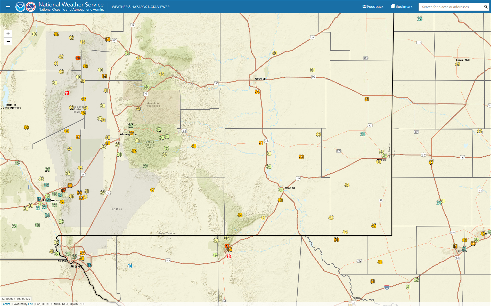
Storm Summary - Oct 25, 2022.

Armstrong Rd South Of Hope, NM.


Local 24-Hour Rainfall Totals.
Cloudcroft NWS Climate Co-Op Station .92"
Cloudcroft CoCoRaHS Station 2.3 Miles S .92".
Cloudcroft CoCoRaHS Station 1.8 Miles SW .87".
Cloudcroft CoCoRaHS Station 0.4 Miles ESE .55".
Capitan CoCoRaHS Station 4.3 Miles WSW .35".
Mayhill CoCoRaHS Station 2.8 Miles WNW .24".
Artesia NWS Climate Co-Op Station .17".
Atoka 4 Miles S of Artesia .16".


(As Of 6 AM MDT Tuesday).

(As Of 6 AM MDT Tuesday).

Local Snowfall Totals.
Cloudcroft CoCoRaHS Station 1.8 Miles SW 5.7".
Cloudcroft NWS Climate Co-Op Station 4.5".
Cloudcroft CoCoRaHS Station 2.3 Miles S 4.5".
Nogal CoCoRaHS Station 4.6 SSE 4.0".
Sunspot CoCoRaHS Station 0.2 Miles SSW 3.1".
NWS MesoWest Peak Wind Gusts.
Sunday.

Monday.
Local Peak Wind Gusts.
(Sunday & Monday).
Guadalupe Pass 73 MPH.
Sierra Blanca Regional Airport NE of Ruidoso 69 MPH.
Pine Springs Raws 67 MPH.
Bowl Raws North of Guadalupe Pass 67 MPH.
Dunken Raws 57 MPH.
High Rolls - Hanynes Canyon PWS 57 MPH.
Roswell Industrial Air Center Airport ASOS 54 MPH.
Terlingua Tower PWS SE of Loco Hills 53 MPH.
Artesia Municipal Airport AWOS 51 MPH.
Carlsbad Airport ASOS 49 MPH.
Queen Raws 45 MPH.
Queen Raws 45 MPH.

(Tuesday Morning).
Cloudcroft NWS Climate Co-Op Station 19ºF (Coldest of the season so far).
Pierce Canyon PWS SE of Cloudcroft 21ºF.
Pierce Canyon PWS SE of Cloudcroft 21ºF.
Sierra Blanca Snotel NW of Ruidoso 21ºF.
Aspen Grove PWS SW of Ruidoso 23ºF.
Grindstone Lake PWS SW of Ruidoso 24ºF.
Smokey Bear Raws - NW of Ruidoso 27ºF.
Our Home Imn NW Carlsbad 33ºF.
Roswell Industrial Air Center ASOS 33ºF.
Grindstone Lake PWS SW of Ruidoso 24ºF.
Smokey Bear Raws - NW of Ruidoso 27ºF.
Dunken Raws 30ºF.
Sierra Blanca Regional Airport AWOS 30ºF.
Artesia Climate Co-Op Station 30ºF (First Official Freeze).
Artesia Climate Co-Op Station 30ºF (First Official Freeze).
Roswell Industrial Air Center ASOS 33ºF.
Carlsbad Airport ASOS 33ºF.
Queen Raws 37ºF.
Guadalupe Pass ASOS 37ºF.
Artesia Municipal Airport AWOS 39ºF.
Hobbs Municipal Airport AWOS 39ºF.
Artesia Municipal Airport AWOS 39ºF.
Hobbs Municipal Airport AWOS 39ºF.
There Are None So Blind As Those Who "Will - Not" To See...107.


Comments
Post a Comment
Your comments, questions, and feedback on this post/web page are welcome.