20% Chance For T-Storms...A Few Could Be Severe.
Today Marks The Beginning Of The Meteorological Summer.
Isolated to widely scattered thunderstorms are forecast to pop up across southeastern New Mexico this afternoon and evening. A few of these storms will be capable of becoming severe. At this time Skywarn Spotter Activation is not anticipated in the Midland National Weather Service County Warning Area.
Remember that a thunderstorm is classified as being severe whenever it produces hail that is the size of a quarter (1" in diameter), or damaging wind gusts in excess of 58 mph. Sometimes severe thunderstorms will produce a combination of large hail and damaging winds, and occasionally an isolated tornado or two.
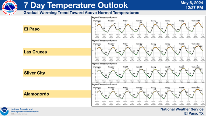
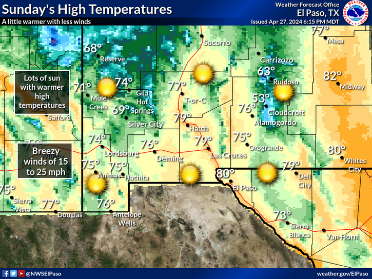
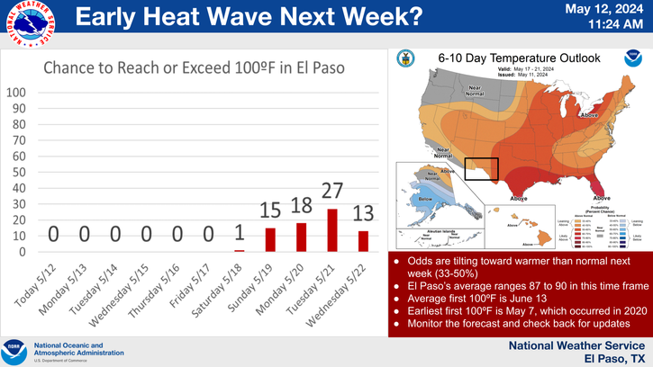
Hot weather is on tap for the southeastern plains starting tomorrow and continuing into at least the first part of next week. Afternoon high temperatures will generally range from the upper 90's to the low 100's.
New Mexico's largest wildfire (largest in the states history) continues to swallow up forest. As of this mornings briefing it had consumed 216, 650 acres. It is 10% contained. 1,246 personnel are fighting the fire. Fox News carried an article on the fire last night warning of more of these types of monstrous fires to come in the Western US.
Smoke from this massive wildfire may drift eastward back into southeastern New Mexico from time to time over the next week. This makes for some beautiful sunrises and sunsets but poses a problem for the elderly, the very young, and the people with breathing problems when the smoke becomes thick enough.
The Truth Is Stranger Than Fiction!
My Web Page Is Best Viewed With Google Chrome.


Comments
Post a Comment
Your comments, questions, and feedback on this post/web page are welcome.