

Little Bear Fire Update - Ruidoso, New Mexico. 9 AM June 21, 2012.
#LittleBearFire – June 21, 9am – Public Concerned about Flare Ups as Fire Winds Down
 JUNE 21, 2012
 0 COMMENTS
Fire Information: (575)258-6900
Size: approx. 42,995 acres
Containment: 60 %
Resources Committed:Personnel: 894; crews: 8 Type 1, 10 Type 2; engines: 57; helicopters: 4 Type 1, 2 Type 2, 2 Type 3; dozers: 4; water tenders: 14
Today’s weather: 72-84 degrees, relative humidity 30-35%, wind S 18-22 mph gusting to 35 mph
Total Injuries to Date: 5
Structures destroyed: 254 (242 residential & commercial structures and 12 outbuildings)
Road Closures: NM 532 (Ski Run Road) west from the softball complex near NM 48 junction, and Forest Road 107 are open to residents only
Area Closures: The entire White Mountain Wilderness, and that portion of the Smokey Bear Ranger District south of US 380 to the Mescalero Apache Reservation boundary, including a large area east and north of Ruidoso to the south boundary of the Fort Stanton Recreation Area.
Numerous telephone calls were received yesterday from local residents and visitors who were reporting active fire and smoke. We appreciate the public’s vigilance, but want to point out that this is still an active fire, and interior fuels will continue to flare up. We can expect to see flare ups of interior fuels for weeks to come, until wetting rains extinguish all burning fuels. The perimeter of the fire is fully staffed and firefighters are ready to extinguish any blazes detected by aerial monitoring which threaten to escape containment.
Summary: Crews continue to hold and improve the edge of the black line on the northwest side today, while helicopters ignite additional backing fires where necessary. Fire will be less active today due to increased humidity and cloud cover. There is a 30% chance of thunderstorms with locally heavy rain and lightning this afternoon. Burnout of fuel around the Runnels Stables subdivision is nearly complete. Activity on the remainder of the fire will consist of patrol and mop up, and rehabilitation of containment lines in all divisions. Release of excess resources continues, making these resources available for other assignments.
All subdivisions are now open. Angus, Bonita Park, Ski Run Road, and Bonita Lake are open to residents only. Residents returning to their homes should be alert for fire vehicle traffic and damaged roads.
The Village of Ruidoso wants everyone to know that, despite the fire activity, it is open for business. See the following websites: http://www.discoverruidoso.com/,http://www.ruidoso.net/, and http://www.ruidosonow.com/
Evacuations: All campgrounds west of Bonito Lake
Shelters: Pets and livestock may be taken to Pet Paradise in La Luz (575-434-1784), Otero County fairgrounds in Alamogordo (575-434-0788, 575-491-7553, or 575-491-4643), Lincoln County fairgrounds in Capitan (575-808-2814), Humane Society of Lincoln County in Ruidoso (575-257-9841 or 575-378-1039), Ruidoso Animal Clinic (575-257-4027), Dunagan Farms in Ruidoso (575-257-9549 or 575-621-4056), New Mexico Livestock Board (575-649-2758), Carrizozo Animal Shelter (575-648-2351), Thundering Paws in Alto (575-336-7297), and Yolanda and Robert Espinoza (575-354-9019).
Many residents of the community have expressed interest in making monetary donations to the firefighting organizations. Local fire departments should be considered first. Additionally, the following websites provide avenues for making donations: www.wffoundation.org, andwww.redcrossnewmexico.org.
Information on wildland fire smoke and your health can be found on the New Mexico Department of Health’s website at: https://nmtracking.unm.edu/eh_alerts/, or call the New Mexico statewide health line at (877)304-4161. Additional websites for accurate fire information are Facebook.com/LittleBearFireNM, Twitter.com/T1SWIMT,Flickr.com.photos.lincolnnationalforest (maps), and Flickr.com/photos/wildland-fires-2012/(photos).
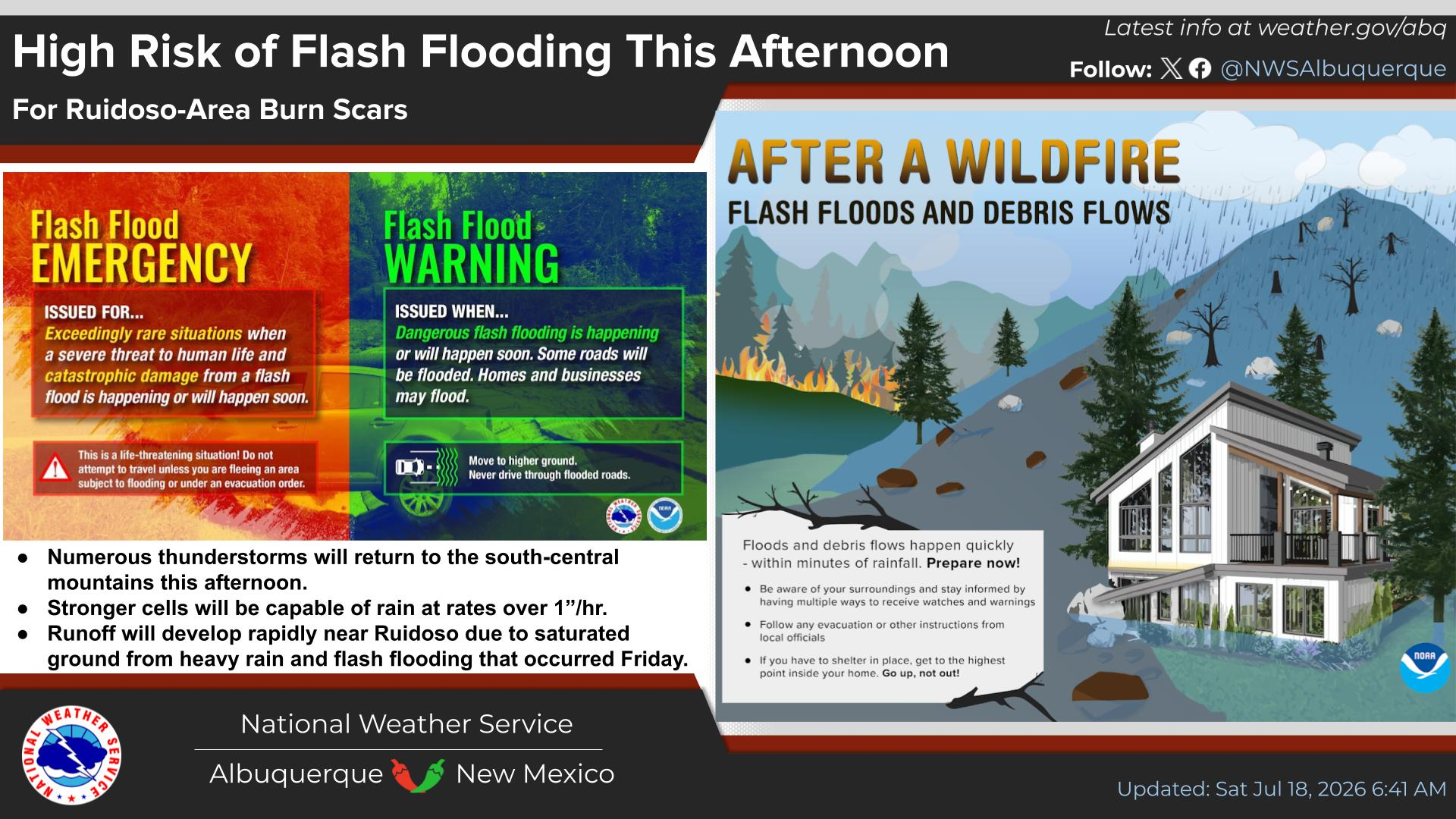
As the monsoons approach, heavy rainfall may produce flash floods. The National Weather Service Advisories are available at: http://www.weather.gov/abq.
A predictive model for probability of thunderstorms over burned areas, known as Burn Scar Thunderstorm Threat Matrix, is available at:http://www.srh.noaa.gov/images/fxc/abq/graphicast/image_full5.gif. Register for Lincoln County CodeRED Emergency Alerts at http://www.lincolncountynm.net/.
The fire information call center in Ruidoso closed last night. The phone number on the top of this update will continue to direct calls to a staffed telephone for anyone needing information.
Start Time/Date: Monday, June 4, 2012
Location: Smokey Bear Ranger District, Lincoln NF, including White Mountain Wilderness
Cause: Lightning
Fuels: Mixed conifer, ponderosa pine
The Truth Is Stranger Than Fiction!
My Web Page Is Best Viewed With Google Chrome.


































Another case in point is Obama's economic advisers...
ReplyDelete