

Little Bear Fire Update - Ruidoso, New Mexico. June 26, 2012.
#littlebearfire June 26, 10:15 am- Mop-up and rehab continue
 JUNE 25, 2012
 0 COMMENTS
Summary: Fire perimeter remains quiet with minimal interior burning. Progress was made with mop up and rehabilitation throughout the entire fire area and continues today. Flooding is still a possibility along areas of Bonito Creek. Some resources are being released for other assignments; aviation resources continue to support other fires in New Mexico.
Detected: Monday, June 4, 2012 Containment: 90% percent
Location: Smokey Bear Ranger District, Lincoln NF Fuel Type: Mixed Conifer, Ponderosa Pine
Cause: Lightning Injuries:5
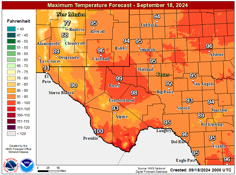
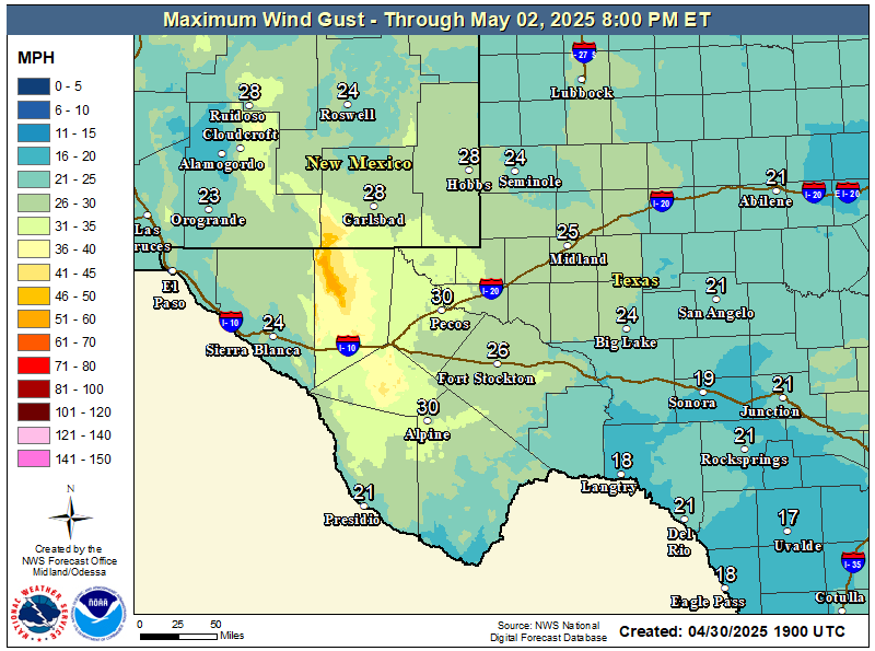
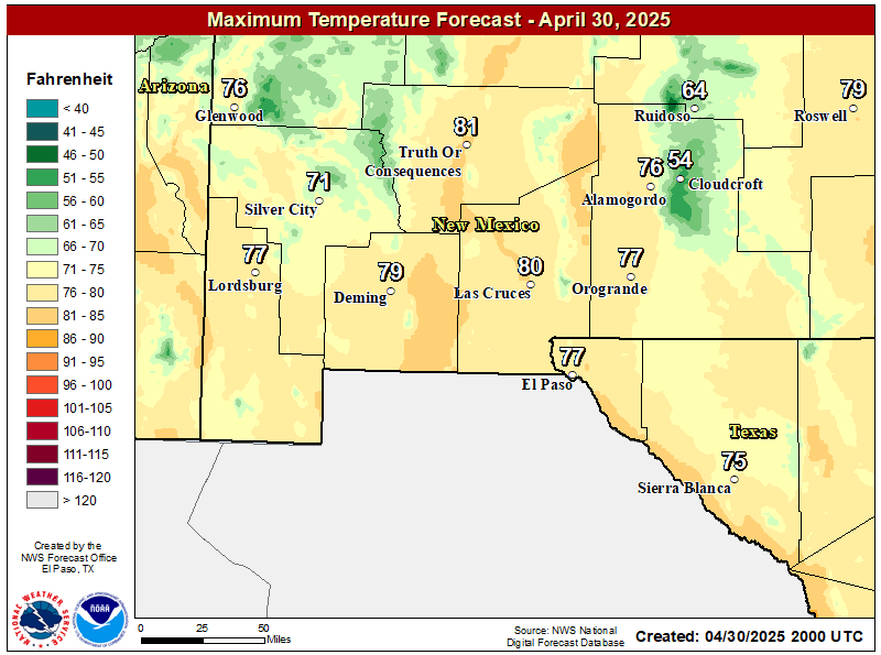
Today’s weather: 77 – 91 degrees, relative humidity 8-14%, afternoon wind southeast 10 -15 mph, gust to 25.
Current Size: estimated at 44,330 acres
Structures destroyed: 254 (242 residential & commercial structures and 12 outbuildings)
Road Closures: NM 532 (Ski Run Road) west from the softball complex near NM 48 junction, and Forest Road 107; are open to residents only
Area Closures: Portions of the Smokey Bear Ranger District to re-open. The southern portion of the Smokey Bear Ranger District closed during the fire is now open. The area south of the Ski Run Road and on both sides of Highway 70 from Ruidoso to the forest boundary near Glencoe is now open for use. This includes areas known as Cedar Creek, Gavilan Ridge, Little Creek, Eagle Creek, Devil’s Canyon and Hale Lake. Due to previous closure orders, the North side of Cedar Creek and Grindstone area will remain closed.
Area closures include: All access to the Bonito Recreation Corridor off of FS Road 107 and 108 which includes established and dispersed campgrounds, hiking trails and trail heads.
All access off of Hwy 532 (Ski Run Road) which includes Monjeau Lookout Road, Spring Canyon Trailhead, Eagle Creek FS Road 127A, Oakgrove Campground, and Buck Mountain.Three Rivers Campground and Trail 44 off of Hwy 54. These closures are in effect to ensure firefighter and public safety until suppression and rehabilitation efforts have been completed within the burned area.
For additional details about closures,
contact the Smokey Bear Ranger District at 575-257-4095.
Resources Committed:
| Crews | 11 |
| Engines | 34 |
| Dozers | 2 |
| Helicopters | 3 |
| Watertenders | 4 |
| Total Personal | 357 |
Angus, Bonita Park, Ski Run Road, and Bonita Lake are open to residents only. All other subdivisions are open, except Rio Bonito. Residents returning to their homes should be alert for fire vehicle traffic and damaged roads. Nazarene Church Camp and Bonito Park remain closed to the public for complete assessments of infrastructure stability. When in an area that has been damaged especially near drainages if thunder cells build, rain is falling or imminent please immediately leave the area and seek higher ground for safety.
The areas known as Bonito Lou’s road and Old Angus road off of Old Bridge road are now open for rehabilitation and restoration organizations to assess and assist homeowners with clean up.
The Village of Ruidoso wants everyone to know that, despite the fire activity, it is open for business. See the following websites:www.discoverruidoso.com/, www.ruidoso.net/ , andwww.ruidosonow.com/
Evacuations: Rio Bonito subdivision remains evacuated due to possible flooding. All campgrounds west of Bonito Lake.
Shelters: Pets and livestock may be taken to Pet Paradise in La Luz (575-434-1784), Otero County fairgrounds in Alamogordo (575-434-0788, 575-491-7553, or 575-491-4643), Lincoln County fairgrounds in Capitan (575-808-2814), Humane Society of Lincoln County in Ruidoso (575-257-9841 or 575-378-1039), Ruidoso Animal Clinic (575-257-4027), Dunagan Farms in Ruidoso (575-257-9549 or 575-621-4056), New Mexico Livestock Board (575-649-2758), Carrizozo Animal Shelter (575-648-2351), Thundering Paws in Alto (575-336-7297), and Yolanda and Robert Espinoza (575-354-9019).
Many residents of the community have expressed interest in making monetary donations to the firefighting organizations. Local fire departments should be considered first. Additionally, the following websites provide avenues for making donations: www.wffoundation.org, andwww.redcrossnewmexico.org.
Information on wildland fire smoke and your health can be found on the New Mexico Department of Health’s website at: https://nmtracking.unm.edu/eh_alerts/, or call the New Mexico statewide health line at (877)304-4161. Additional websites for accurate fire information are Facebook.com/LittleBearFireNM, Flickr.com.photos.lincolnnationalforest (maps), and Flickr.com/photos/wildland-fires-2012/ (photos).
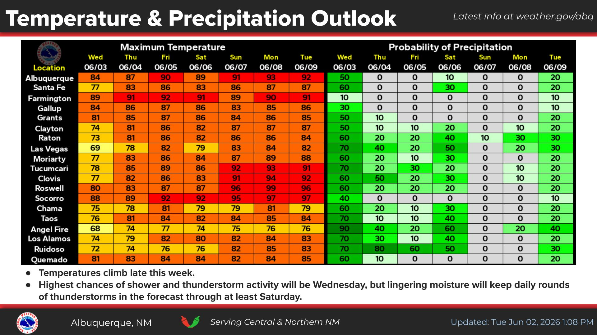
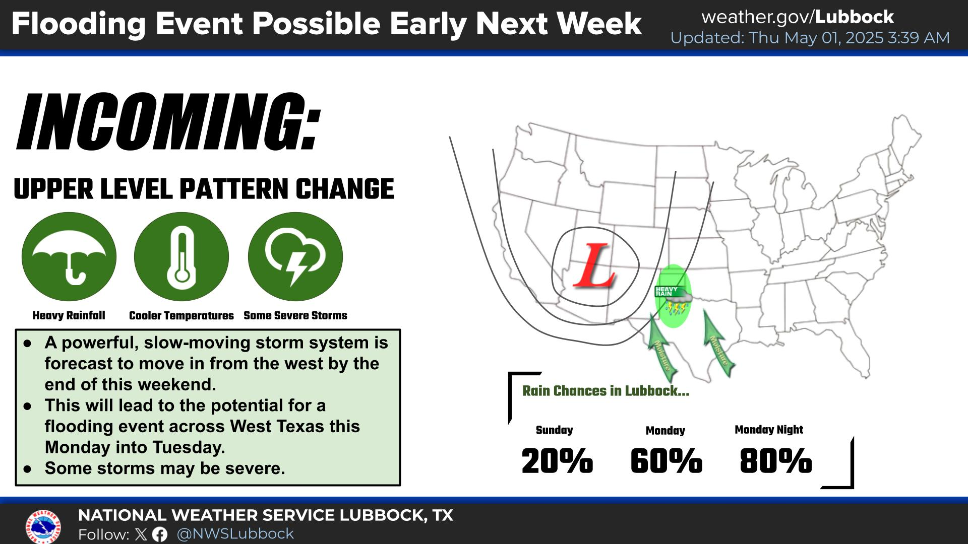
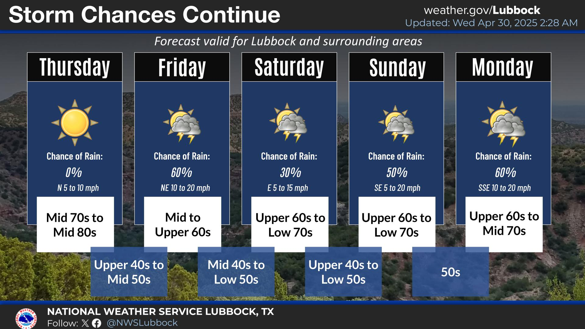
As the monsoons approach, heavy rainfall may produce flash floods. The National Weather Service Advisories are available at: http://www.weather.gov/abq.
A predictive model for probability of thunderstorms over burned areas, known as Burn Scar Thunderstorm Threat Matrix, is available at: http://www.srh.noaa.gov/images/fxc/abq/graphicast/image_full5.gif. Register for Lincoln County CodeRED Emergency Alerts at http://www.lincolncountynm.net/.
The Truth Is Stranger Than Fiction!
My Web Page Is Best Viewed With Google Chrome.
















Comments
Post a Comment
Your comments, questions, and feedback on this post/web page are welcome.