

A Parade Of Winter Storms Tonight Into The New Years Holiday Weekend.

Dark Canyon Rd West Of Carlsbad, NM.
Parade Of Winter Storms Lining Up.

Between today and next Monday (Jan 2nd, 2023) four different winter storms are forecast to line up in the strong zonal jet stream flow aloft and move across New Mexico. The strongest of these will likely be the New Years Eve and New Years Day storm. Last nights 5 PM MST (00Z or 00 GMT) run of the US GFS computer forecast model depicts a strong zonal flow aloft with the jet stream stretching from west to east across the northern Pacific Basin. It forecasts a wind speed maximum in the jet stream out over the north-central Pacific Ocean of 226 knots or 260 mph Wednesday night around midnight. That's a lot of energy helping to drive these winter storms eastward into the Western and Southwestern US.


Valid Tonight - 5 AM MST Friday, December 30, 2022.


Winter Storm Warnings:
(From Midnight Tonight - 9 AM MST Thursday).
Northwestern & Northern Mountains.
Our first storm will produce heavy snowfall over the western and northern mountains of New Mexico Tuesday into Thursday. Snowfall totals in the northwestern and northern mountains of New Mexico will range from 2" - 6" below 7,500' with 12" or more above 9,000' over the Chuska mountains, the Jemez mountains, the northwest Highlands, and the Tusca mountains. Westerly winds gusting to 45 mph will cause areas of blowing snow adding to the difficult driving conditions from the heavy snowfall.
For the southern Sangre de Cristo mountains snowfall totals of 6" to 14" are currently forecast with westerly winds gusting up to around 60 mph. Blowing snow and heavy snow will cause travel issues. Travel in these areas may be difficult to impossible.
Additional snowfall is forecast Thursday night into Friday and New Years Eve into next Monday across the western and northern areas of the state mainly the mountains.
Sacramento Mountains:
Current snowfall forecasts for the Sacramento mountains from Wednesday night are in the 3' - 6" range above 7,000'. Snow levels are forecast to drop as low as 6,500' with the 2nd storm Thursday night into Friday with another 1" - 2" possible. The 3rd storm arrives Thursday night into Friday. The 4th storm will affect the area New Years Eve into next Monday with the possibility of heavy snowfall across the Sacramento and Capitan mountains.


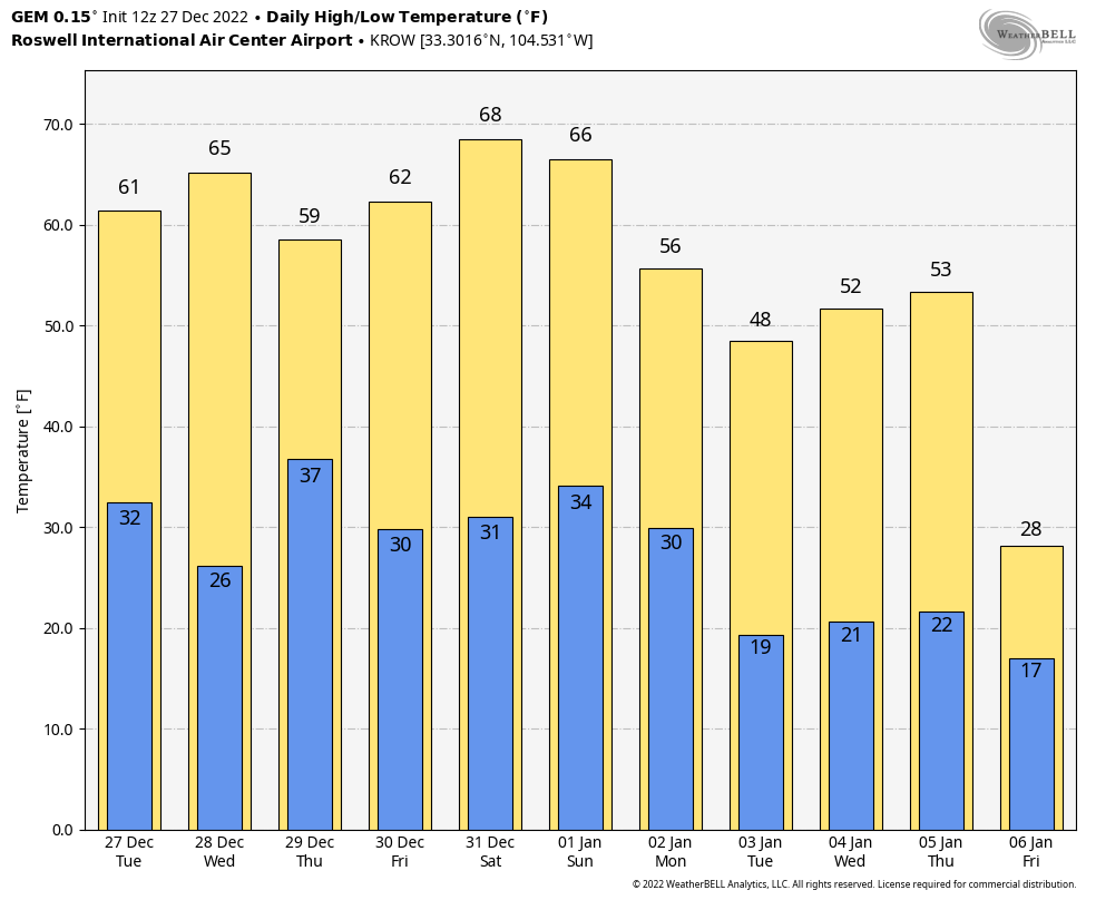
Upslope mountain snows and lowland rain showers are forecast tonight through the first of the New Years first few days. Everywhere but the eastern on half of the state across the valley locations. The mountains will receive the most snowfall. The 4th and last storm of this parade arriving in time for the New Years holiday weekend, may be cold enough to drop some snow across the lower elevations of the state west of the central mountain chain.


High Winds & Blowing Dust.
A High Wind Warning is in effect from 11 AM MST today through midnight Wednesday night for the Guadalupe mountains. Southwest winds sustained at 35-45 mph will gust up to around 60 mph today. These winds are forecast to increase and gust up to around 80 mph on Wednesday. That may pose some travel issues through Guadalupe Pass.
A High Wind Watch is in effect from late tonight through Wednesday evening for southwest Chaves County, the northern Sacramento mountains, and the central mountain chain. Southwesterly winds are forecast to increase to sustained speeds of 30-50 mph with gusts near 65 mph. Localized wind damage to power lines, utility lines, trees, and outbuildings will be possible.
A High Wind Watch is in effect from Wednesday morning through Thursday morning. For the southern Sacramento mountains above 7,500' and the east slopes of the southern Sacramento mountains below 7,500'. Southwesterly winds will increase to sustained speeds of 35-45 mph with gusts near 65 mph. Localized wind damage to power lines, utility lines, trees, and outbuildings will be possible.
As of this Tuesday morning there are now High Wind Watches or Wind Advisories in effect for the Southeastern Plains. This may change later today or early Wednesday morning so check your local forecasts via my weather web for additional updates. Southwesterly winds gusting up into at least the 35-45 mph range appear likely on Wednesday.
Local areas of blowing dust will be possible across the valley locations and Southeastern Plains associated with the stronger sustained winds and wind gusts. Sudden drops in the visibility with little to no advanced notice may occur especially in near he following areas: Freshly plowed, exposed, or open farmlands, fields, lots, and highway construction sites.
Today.

Wednesday.

Thursday.

Friday.

Unlike our pre-Christmas arctic blast these series of winter storms will not drive bitterly cold arctic air into the state and nearby areas. These storms are associated with the strong zonal jet stream flow aloft stretching across the Pacific. Therefore they are much warmer (relatively speaking) in nature than the air mass that originated in Siberia then crossed the North Pole and dropped southward from the Northwestern Yukon and into the region last week.

Speaking of arctic air masses long-range model forecasts are hinting that our next polar plunge into the lower 48 may occur in about 10-days to two weeks time frame.
There Are None So Blind As Those Who "Will - Not" To See...107.


Comments
Post a Comment
Your comments, questions, and feedback on this post/web page are welcome.