

Seasonably Chilly Friday Into The Weekend - First Look At Next Weeks Arctic Outbreak.
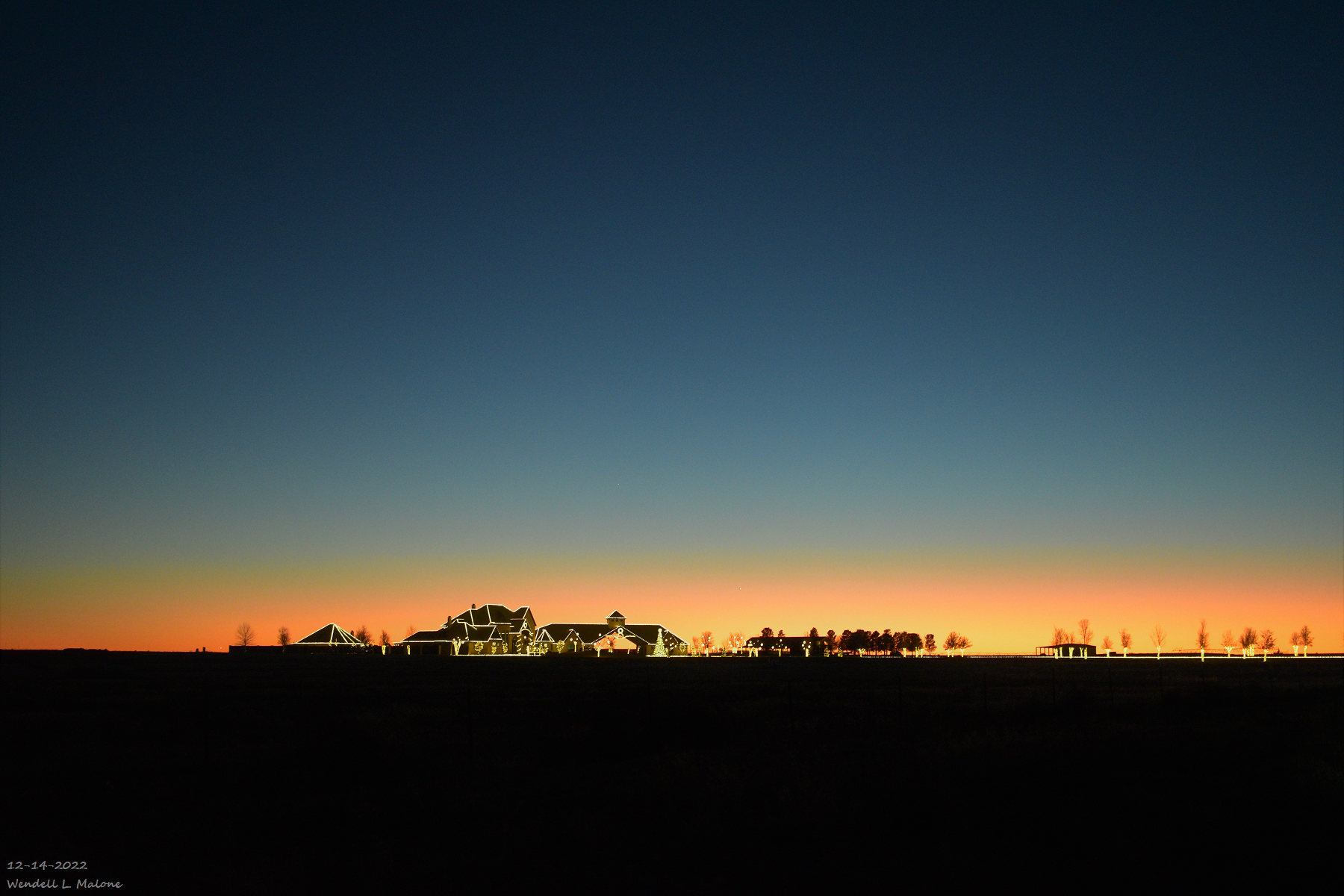
Near Seminole, Texas.
Beautiful Christmas Lights With A Sunset Background.

Forecast Low Temperatures Friday Morning.

Forecast Apparent Temperatures Friday Morning.

Forecast High Temperatures Friday.

Forecast Low Temperatures Saturday Morning.

Forecast Apparent Temperatures Saturday Morning.

Forecast High Temperatures Saturday.


A reinforcing shot of cold air will accompany a southward moving cold front tonight as it passes through the state and local area. This mornings reported local low temperatures ranged from the low 20's to near 30 across the Southeastern Plains.
Lows this morning in the Sacramento mountains were mostly in the teens. A Personal Weather Station (PWS) in Bell Canyon northwest of Mayhill reported a low of 7º as did a station in Hay Canyon. And the Mescal Raws near Mescalero reported a low of 10º. A PWS in Timberon reported a low of 10º.
Forecast lows temperatures tonight will be close to this mornings lows. Saturday mornings lows will be about 5-10-degrees colder across the Southeastern Plains and a few degrees colder in the mountains.
Apparent temperatures Friday and Saturday mornings will range from the single digits in the Clovis and Portales areas, the teens across the Southeastern Plains, to around 0º to -10º in the mountains.
Long Range Forecast Problems.

Canadian (GEM) Forecast Apparent Temperatures.

For the past three days I've been pouring through the model forecasts, discussions, and comments centered around next weeks impending arctic airmass invasion. One thing is for certain is that the models are struggling, daily, with how to handle this brutally cold airmass that will be spilling south out of the Yukon mid to late next week.
The Canadian model forecast won the away this morning for being the coldest over the Euro and US GFS. Will it actually get this cold locally next week? Not sure yet.
Some of the analog years being tossed around in comparison to how cold this airmass potentially may be are 1977, 1983, 1985, 1989, 2013, and 2021. Yet all of this is subject to change as the event gets closer and the models settle down and try and iron out the details.
There is a lot of daily variability within their forecasts but overall they do agree that an invasion of very cold arctic air is headed south into our neck of the woods. Question is how cold for how long. And will there be any snow with it? All of this will be addressed in the coming days so be sure and check back and see my latest blog posts over the next week.
There Are None So Blind As Those Who "Will - Not" To See...107.


Comments
Post a Comment
Your comments, questions, and feedback on this post/web page are welcome.