Posts

Current Date & Time

Fall Freeze Data For New Mexico

My Storm Chase Log - Friday, May 19, 2023 - If It Could Have Gone Wrong - It Did.

Image
4:24 PM MDT. Friday, May 19, 2023. Low Precipitation Supercell Thunderstorm. Located About 5 Miles Northwest Of Lake Arthur, NM. If It Could Have Gone Wrong - It Did. Chase day, finally. So far it's been rather quiet as far as severe thunderstorms are concerned here in the Pecos Valley of Southeastern New Mexico. Today offered a change and off I went. I left Carlsbad and made a brief stop at Atoka Grocery (my brother and sister-in-law own it) south of Artesia for lunch. Then headed north to the junction of State Hwy 13 and US Hwy 285. I gave Jim Tucker the Chaves County Skywarn Coordinator a call and asked him to chase with me. He wasn't able to tag along with me but did take off on his own later in the afternoon. I ended up driving west on State Hwy 13 to about halfway to the junction of US Hwy 82 west of Hope. A couple of t-storms were pulsing up and down near the Flying H Ranch and were moving to the northeast. They developed and died so I backtracked to the junction of Old ...

My Blog Archive List (July 2010 - August 2025).
Show more

My Current Weather Conditions

MY CoCoRaHS Precipitation Data

NWS Albuquerque 2026 Winter Outlook

Eddy County

Guadalupe Mtns Eddy & Culberson County

Lea County

NWS Midland Web Page

NWS Midland Web Page
Click On The Map To Open It Up

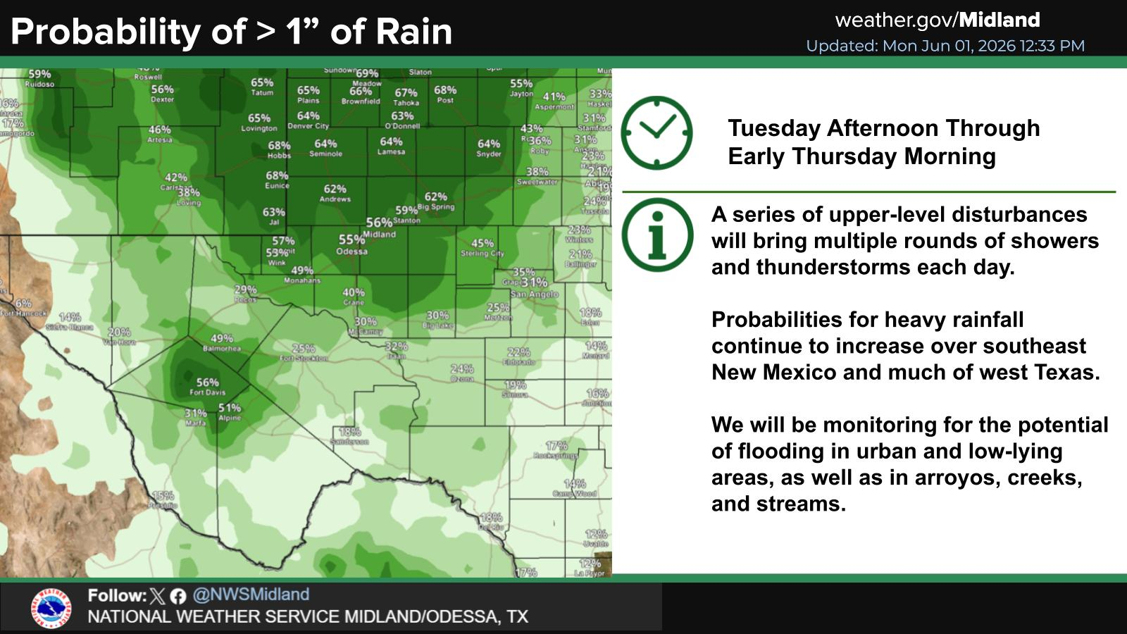
SE New Mexico & West Texas Precipitation Forecasts

NWS Midland Hazardous Weather Outlook

NWS Midland Hazardous Weather Outlook
Click On The Image To See The Rest Of The Outlooks

NWS Midland Hazardous Weather Outlook

NWS Midland Hazardous Weather Outlook

NWS Midland Hazardous Weather Outlook

NWS Midland Hazardous Weather Outlook
Click On The Image To See The Rest Of The Outlooks

NWS Midland Forecast Graphic

NWS Midland Graphic Forecast

NWS Midland Forecast High Temperatures Today

NWS Midland Forecast Low Temperatures Tonight

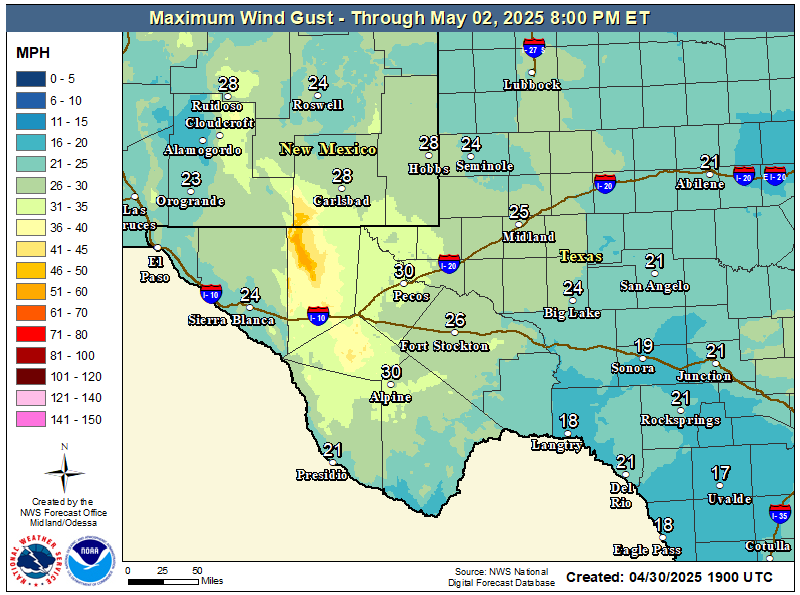
NWS Midland Peak Wind Gust Forecast

New Mexico

Chaves County Plains & Mtn's

Lincoln County

NWS Albuquerque Web Page

NWS Albuquerque Web Page
Click On The Map To Open It Up

NWS Albuquerque New Mexico Precipitation Forecasts

NWS Albuquerque Hazardous Weather Outlook

NWS Albuquerque Hazardous Weather Outlook

NWS Albuquerque Forecast Grpahics

NWS Albuquerque Forecast Graphics

NWS Albuquerque Forecast Graphic

NWS Albuquerque Graphic Forecast

NWS Albuquerque Forecast High Temperatures Today

NWS Albuquerque Forecast Low Temperatures Tonight

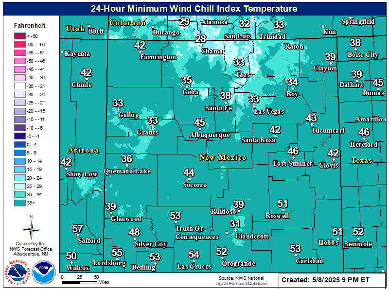
NWS Albuquerque Wind Chill Forecast

NWS Albuquerque Peak Wind Gust Forecast

Texas

Otero County

NWS El Paso Web Page

Southern New Mexico & Far West Texas Precipitation Forecasts

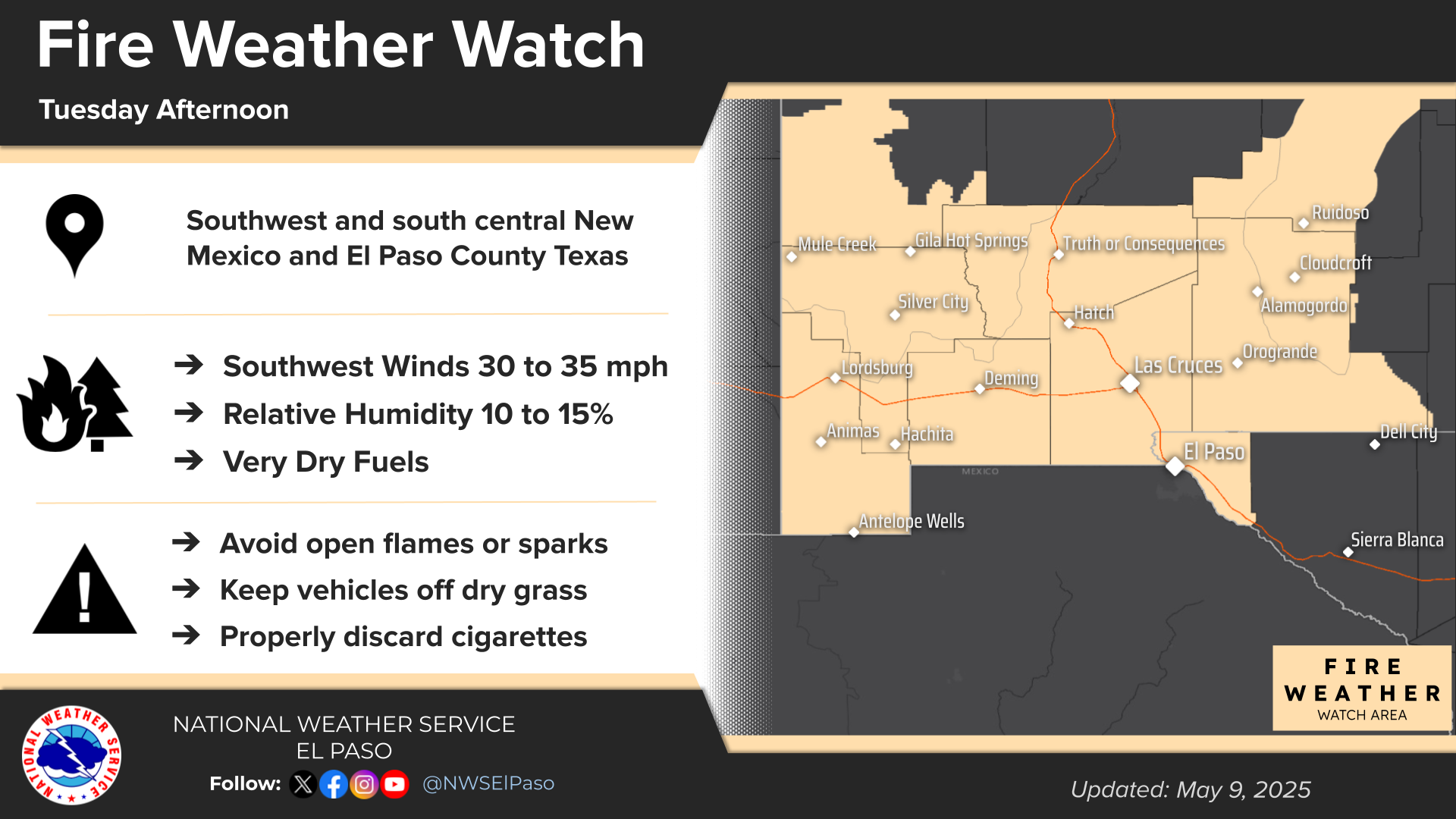
NWS El Paso Hazardous Weather Outlook

NWS El Paso Hazardous Weather Outlook
Click On The Image To See The Rest Of The Outlooks

NWS El Paso Hazardous Weather Outlook

NWS El Paso Hazardous Weather Outlook
Click On The Image To See The Rest Of The Outlooks

NWS El Paso Graphic Forecast

NWS El Paso Graphic Forecast

NWS El Paso Graphic Forecast

NWS El Paso Forecast High Temperatures Today

NWS El Paso Forecast Low Temperatures Tonight

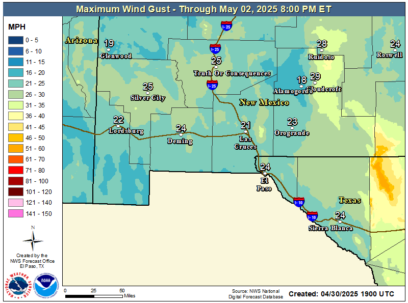
NWS El Paso Peak Wind Gust Forecast

NWS Lubbock Web Page

NWS Lubbock Web Page
Click On The Map To Open It Up

NWS Lubbock South Plains Precipitation Forecasts

NWS Lubbock Hazardous Weather Outlook

NWS Lubbock Hazardous Weather Outlook
Click On The Image To See The Rest Of The Outlooks

NWS Lubbock Hazardous Weather Outlook

NWS Lubbock Hazardous Weather Outlook
Click On The Image To See The Rest Of The Outlooks

NWS Lubbock Hazardous Weather Outlook

NWS Lubbock Hazardous Weather Outlook

NWS Lubbock Graphic Forecast

NWS Lubbock Graphic Forecast

NWS Lubbock Graphic Forecast

NWS Lubbock Graphic Forecast

NWS Lubbock Graphic Forecast

NWS Lubbock Hi Temperature Forecast Today

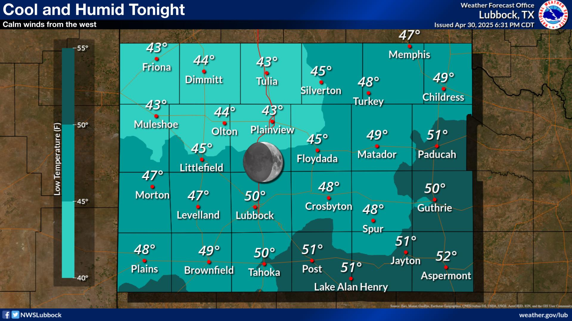
NWS Lubbock Low Temperature Forecast Tomight

My Rainfall Totals - 2.1 NNW Downtown Carlsbad

My Rainfall Totals - 2.1 NNW Downtown Carlsbad

My Seasonal Snowfall Totals - 2.1 NNW Downtown Carlsbad

My Seasonal Snowfall Totals - 2.1 NNW Downtown Carlsbad

Disclaimer

This blog and its contents are for informational purposes only! Always have multiple sources of information available to rely upon during severe weather. Do not rely solely on the Internet. Be weather-aware, plan ahead, have a backup plan, and be ready to act before severe weather strikes your location.