Heating Back Up.
Blog updated at 2:05 PM MDT.
(Monday Aug 13, 2012).
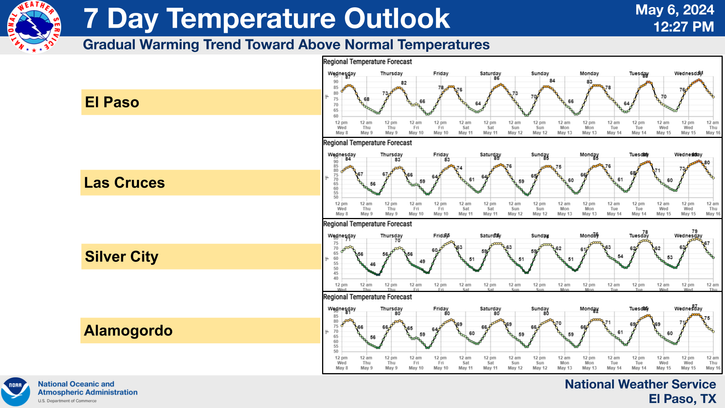
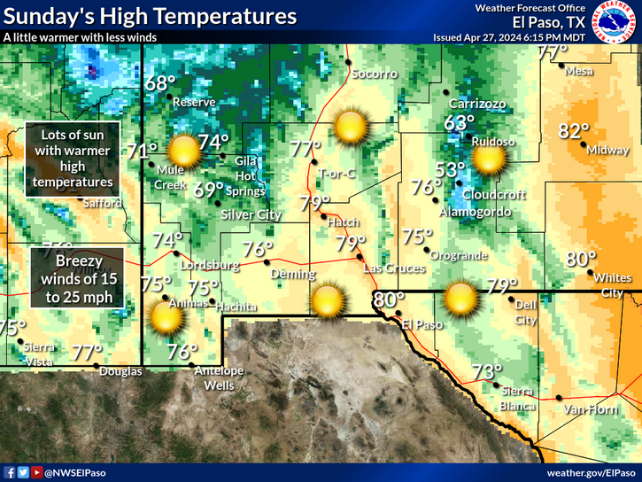
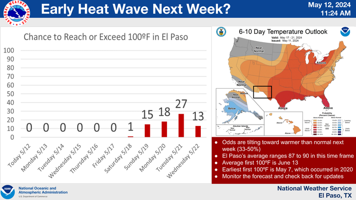
Yesterday's high temperatures were some 10-15 degrees cooler than Sunday's readings. Unfortunately this brief cool down has ended. Our afternoon high temps are forecast to climb up into the mid-upper 90's today across southeastern New Mexico. Wednesday's highs will range from the upper 90's to the low 100's, and Thursday's highs are forecast to be in the upper 90's.
Seasons First Fall-Like Cold Front.
Valid At Noon MDT Friday Aug 17, 2012.
Valid At 6 AM MDT Friday Aug 17, 2012.
Valid At 6 AM MDT Friday Aug 17, 2012.
Valid At Noon MDT Friday Aug 17, 2012.
(Valid At Noon MDT Friday Aug 17, 2012).
Relief is on the way to the Midwest as a fairly strong mid-upper level trough of low pressure sweeps eastward across the US/Canadian Border later this week. This trough of low pressure will force the center of the upper-level ridge of high pressure northwestward to Nevada by Friday.
A fairly stout early fall-like cold front will move southward through the Midwest later this week. This cold front will arrive in southeastern New Mexico Thursday night or Friday morning. Take a look at the temperature forecast maps above...by sunrise Friday morning, much of the northern states of the country will be in the 40's & 50's. By noontime they will have warmed up into the 70's. No doubt this is welcome relief from the 100-115 degree temps many of them have seen over the past couple of weeks.
We should see an increase in shower and thunderstorm activity here in southeastern New Mexico Thursday afternoon into Friday, as this cold front enters the local area. Cooler temperatures are also in the cards for us on Friday, and Saturday behind the front, with most of us seeing on the 80's for highs. The Sacramento Mountains will likely have highs in the 60's & 70's.
The Truth Is Stranger Than Fiction!
My Web Page Is Best Viewed With Google Chrome.


Comments
Post a Comment
Your comments, questions, and feedback on this post/web page are welcome.