


Front Has Arrived.
Temperature Map At 9:00 AM MDT.
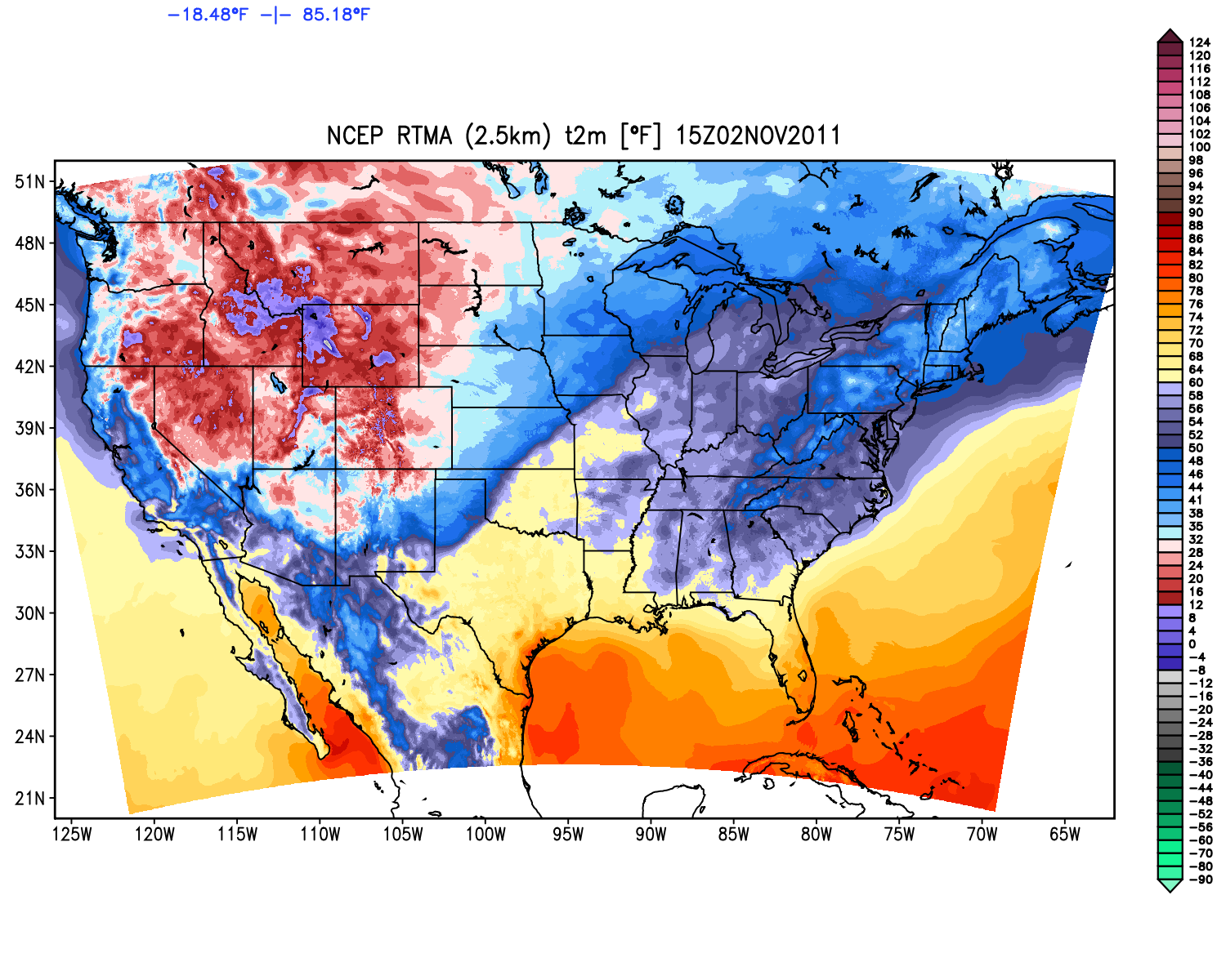
Temperature Map At 3 PM MDT.


Visible Satellite Image of NM At 9:15 AM MDT.
Visible Satellite Image.
 Huge Cloud Of Blowing Dust Across W TX & SE NM
At 4:55 PM MDT.
Visible Satellite Image.

At 4:55 PM MDT.

For Second Time In A Week Snow Is Falling Across NE NM.
Snapshot Off The Cannon AFB Doppler Radar Using
"My SE NM Radar" On My Web Page. Be Sure To Check
The "Winterize Box" To Change The View To The Winter Mode.
Cold Front Arrives In Carlsbad At 9:30 AM MDT.
Pre-frontal compressional heating drove my temperature up here at the house to 75 at 9:39 AM. Then the winds shifted around to the northwest with gusts to 30 mph, the pressure started rising rapidly, and my temp fell to 68 by 10 AM. The anticipated cold front has arrived, and now our temperatures are headed downward throughout the rest of the day.
Regional Temps At 10 AM MDT-
Carlsbad Airport ASOS 75
Paduca Raws 74
2.1 Miles NNW of Downtown Carlsbad 68
Hobbs Airport 68
Artesia Airport AWOS 63 (N G46 mph)
Caprock Raws 63
Roswell Airport ASOS 59 (N G51 mph)
Dunken Raws 55
8-Mile Draw Raws 52
Denver City, TxX 51
Tatum 48
Willow Wells Raws 46
Dora Raws 45
Crossroads Raws 44
Cannon AFB Clovis 42
Tucumcari 40
Clayton 32 (Light Snow Wind Chill 17)
Raton 30 (Light Snow Wind Chill 13)
The Truth Is Stranger Than Fiction!


But no rain...just wind, right? The front blew through here somewhere between 11 PM and 7 AM here, though I think closer to 6 AM. It was 43F at 5 AM, but dropped to 38F after 7:30 AM.
ReplyDeleteLots of blowing dust and wind David but no rain or snow. Nasty outside today.
ReplyDelete