Southward Moving Cold Front & Haboob Headed To SE NM This Evening.
Blog Updated @ 5:15 PM MDT.
Blowing Dust Over Eastern NM.
(Haboob Moving South With The Cold Front).
MODIS View Of Dust In West Texas And Southeast Colorado. pic.twitter.com/Iuil8JBrcH
MODIS (Aqua) Visible Satellite Image This Afternoon.
Blowing Dust Across West Texas. A Haboob In Northeastern
New Mexico & The Northern Texas Panhandle Moving Southward.
MODIS (Aqua) Visible Satellite Image This Afternoon.
Blowing Dust Across West Texas. A Haboob In Northeastern
New Mexico & The Northern Texas Panhandle Moving Southward.
Courtesy Of The Lubbock NWS Office.
Latest visible satellite image shows the wall of blowing dust (haboob) moving southward, along with the southward moving cold front. Across northeastern New Mexico and the Texas Panhandle at 4:39 PM MDT this afternoon.
Latest visible satellite image shows the wall of blowing dust (haboob) moving southward, along with the southward moving cold front. Across northeastern New Mexico and the Texas Panhandle at 4:39 PM MDT this afternoon.
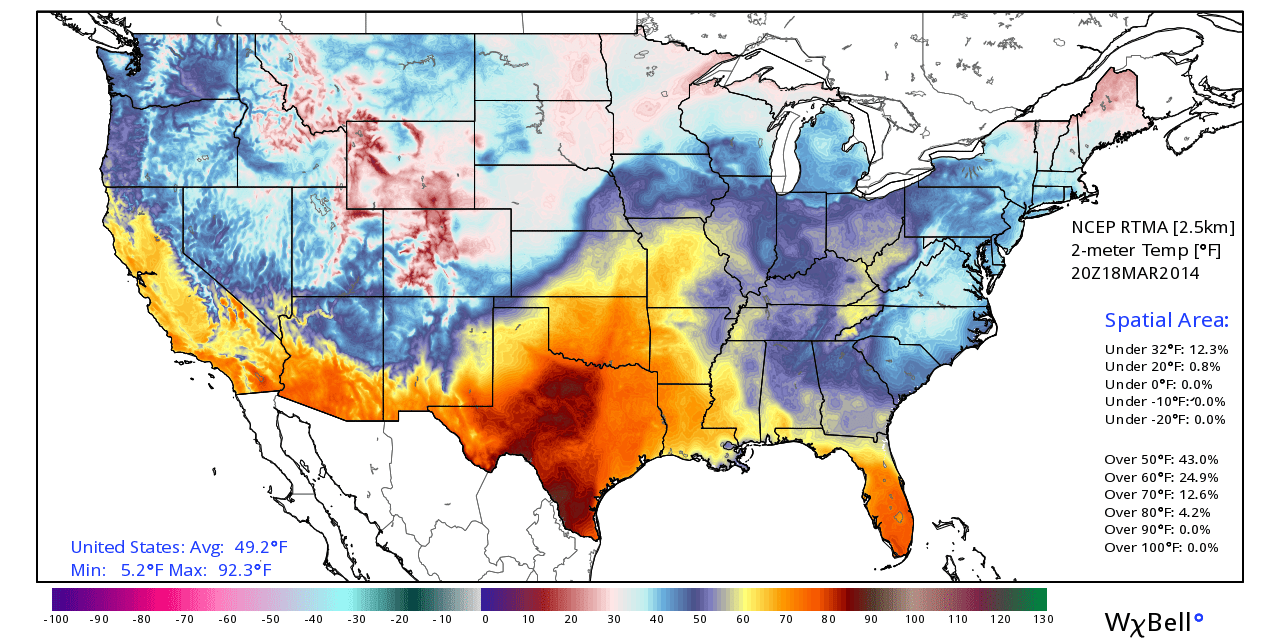
Temperatures across southeastern New Mexico and west Texas are mostly in the 70's as of 3 PM MDT this afternoon. Westerly to northwesterly winds are gusting up to between 30 - 50 mph.
Two areas of blowing dust are affecting parts of the area this afternoon. A large area of blowing dust stretches across eastern New Mexico from west of the Clovis and Portales area, eastward to east of the Lubbock, Texas area. Visibilities down to 1/4 of a mile have been reported in these areas due to the blowing dust.
Another large area of blowing dust was located across southeastern Colorado, northeastern New Mexico, and the northern Texas Panhandle. This area of blowing dust is associated with a southward moving cold front and its associated haboob. Visibilities of less than 1/4 of a mile have also been reported in these areas associated with the blowing dust.
This cold front will continue moving southward and will arrive in southeastern New Mexico later this evening. We too may experience limited visibilities in blowing dust perhaps less than 1/2 of a mile when the cold front and haboob arrives, and for a time after the frontal passage.
Wednesday will see cooler temps behind the front with our afternoon highs only in the 50's & 60's.
The Truth Is Stranger Than Fiction!
My Web Page Is Best Viewed With Google Chrome.


Comments
Post a Comment
Your comments, questions, and feedback on this post/web page are welcome.