Current Date & Time

Fall Freeze Data For New Mexico

Heavy Rains In Parts Of NM & W TX.


Heavy Rains Yesterday & Last Night.


Several large clusters of thunderstorms (MCS's) stretching from the Chicago area southwest to eastern New Mexico lay along a strong cold front Monday evening.


Ahead of the cold front yesterday afternoon our high temps ranged from the mid 90's to 102°F at the Carlsbad Airport. Behind the cold front highs ranged from mid 70's in northeastern New Mexico to the 50's and 60's in the northern mountains.

(As Of 7:22 AM MDT This Morning).


T-Storms unloaded on many areas of the state yesterday and overnight. Including the Albuquerque Metro area. Note some of the heavier rainfall totals noted as of 7:30 AM MDT this morning.

Albuquerque 4.2 NE 2.28"
Albuquerque NWS  2.24"
Santa Fe Watershed Raws 2.20"
Albuquerque 7.7 SW 2.10"

Clovis 2.3 NNE 1.90"
Tijeras 9.1 SE 1.79"
Edgewood 6.3 NW 1.78"

Tatum 1.27"
Carlsbad 1.9 NW 1.14"
Our Home In NW Carlsbad .93"

Lubbock, Texas just got nailed again yesterday afternoon into the overnight hours. So far they officially have recorded 3.31" of rain since yesterday afternoon which brings their Year To Date rainfall to 21.39". A CoCoRaHS Station in Idalou 0.4 SSW which is just east of Lubbock is reporting 6.29" so far.

We picked up .93" overnight which brings our July rainfall total to 1.02" and our Year To Date total to 8.92" here in Carlsbad, New Mexico. Gotta love our wet El Nino summers...they don't happen often enough. 

The Truth Is Stranger Than Fiction!

Comments

My Blog Archive List (July 2010 - August 2025).

Show more

My Current Weather Conditions

MY CoCoRaHS Precipitation Data

NWS Albuquerque 2026 Winter Outlook

Eddy County

Guadalupe Mtns Eddy & Culberson County

Lea County

NWS Midland Web Page

NWS Midland Web Page
Click On The Map To Open It Up

SE New Mexico & West Texas Precipitation Forecasts

NWS Midland Hazardous Weather Outlook

NWS Midland Hazardous Weather Outlook
Click On The Image To See The Rest Of The Outlooks

NWS Midland Hazardous Weather Outlook

NWS Midland Hazardous Weather Outlook

NWS Midland Forecast Graphic

NWS Midland Graphic Forecast

NWS Midland Forecast Graphic

NWS Midland Forecast High Temperatures Today

NWS Midland Forecast Low Temperatures Tonight

NWS Midland Peak Wind Gust Forecast

New Mexico

Chaves County Plains & Mtn's

Lincoln County

NWS Albuquerque Web Page

NWS Albuquerque Web Page
Click On The Map To Open It Up

NWS Albuquerque New Mexico Precipitation Forecasts

NWS Albuquerque Hazardous Weather Outlook

NWS Albuquerque Hazardous Weather Outlook

NWS Albuquerque Forecast Grpahics

NWS Albuquerque Forecast Graphics

NWS Albuquerque Forecast Graphic

NWS Albuquerque Graphic Forecast

NWS Albuquerque Graphic Forecast

NWS Albuquerque Forecast High Temperatures Today

NWS Albuquerque Forecast Low Temperatures Tonight

NWS Albuquerque Peak Wind Gust Forecast

Texas

Otero County

NWS El Paso Web Page

Southern New Mexico & Far West Texas Precipitation Forecasts

NWS El Paso Hazardous Weather Outlook

NWS El Paso Hazardous Weather Outlook
Click On The Image To See The Rest Of The Outlooks

NWS El Paso Hazardous Weather Outlook

NWS El Paso Hazardous Weather Outlook
Click On The Image To See The Rest Of The Outlooks

NWS El Paso Graphic Forecast

NWS El Paso Forecast High Temperatures Today

NWS El Paso Forecast Low Temperatures Tonight

NWS Lubbock Web Page

NWS Lubbock Web Page
Click On The Map To Open It Up

NWS Lubbock South Plains Precipitation Forecasts

NWS Lubbock Hazardous Weather Outlook

NWS Lubbock Hazardous Weather Outlook
Click On The Image To See The Rest Of The Outlooks

NWS Lubbock Hazardous Weather Outlook

NWS Lubbock Hazardous Weather Outlook
Click On The Image To See The Rest Of The Outlooks

NWS Lubbock Hazardous Weather Outlook

NWS Lubbock Hazardous Weather Outlook

NWS Lubbock Graphic Forecast

NWS Lubbock Graphic Forecast

NWS Lubbock Graphic Forecast

NWS Lubbock Graphic Forecast

NWS Lubbock Graphic Forecast

NWS Lubbock Hi Temperature Forecast Today

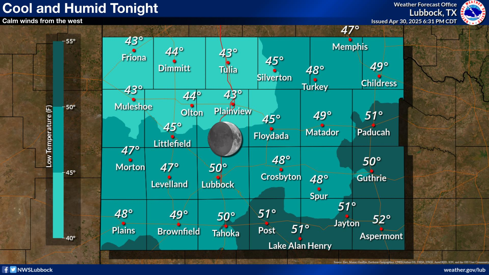
NWS Lubbock Low Temperature Forecast Tomight

My Rainfall Totals - 2.1 NNW Downtown Carlsbad

My Rainfall Totals - 2.1 NNW Downtown Carlsbad

My Seasonal Snowfall Totals - 2.1 NNW Downtown Carlsbad

My Seasonal Snowfall Totals - 2.1 NNW Downtown Carlsbad

Disclaimer

This blog and its contents are for informational purposes only! Always have multiple sources of information available to rely upon during severe weather. Do not rely solely on the Internet. Be weather-aware, plan ahead, have a backup plan, and be ready to act before severe weather strikes your location.