
Summer Today & Tuesday - Fall & Winter Starting Thursday!

Bulldog Bowl - Artesia, New Mexico.
Excessive rainfall from remnant tropical moisture from Hurricane Polo drenched southeastern New Mexico September 22nd through the 26th. Storm totals in Artesia reported by the public that week were in the 6" to 8" range. As a result, Bulldog Bowl in Artesia got flooded, but as far as I know, there was no damage, and the water was drained off with no issues. Bulldog Paw Prints in Artesia captured this incredible photo.
Wild Swings In Our Weather Ahead!
I told you in yesterday's blog post that there would likely be changes in our weather forecasts this week. They have already started. We will be going from summer today and tomorrow into fall and winter Thursday through Saturday.
Forecast models have settled down in this morning's 12Z (6 AM MDT) runs. All three long-range models (GFS, ECMWF, and the Canadian GDPS) have a potent mid-upper level closed low centered over eastern Oregon with a trailing shortwave trough of low pressure extending southwestward through central California and then well southwest of San Diego.
This will consolidate into a low located over southeastern Nevada and northwestern Arizona by sunset Tuesday. It is then forecast to swing eastward through the Four Corners area and into northeastern Colorado by Thursday and dissipates. Thursday night, a secondary mid-upper level cutoff low develops over southwestern Arizona and retrogrades (backs up) southwest to off of the northern Baja Peninsula Friday into Saturday. What happens to it after then is questionable.
Today Into Tuesday.
Widely scattered light rain showers and thunderstorms are forecast over northwestern New Mexico. Gusty southwesterly winds are already kicking up across central and eastern New Mexico and will continue this afternoon. The Clayton ASOS has gusted to 48 mph, and Clines Corners has already gusted to 40 mph.
We have a chance for a few widely scattered to scattered rain showers and thunderstorms across the southeastern plains Tuesday night into Wednesday night. Mainly over Lea County. And over northwestern New Mexico on Tuesday.
Wednesday.
A Pacific cold front will sweep across the state from west to east, producing gusty southwesterly winds ahead of it and northwesterly winds behind it. Rain showers over northern New Mexico Wednesday and Wednesday night. A mix of light rain and snow is forecast for Chama, Red River, and Angel Fire Wednesday night. Forecast models vary with snowfall totals, but right now anywhere from light snow to a few inches may fall, especially over the higher peaks.
A colder air mass will overspread the state behind the Pacific cold front Wednesday night, producing the season's first freeze over the state's northern valleys by Thursday morning.
Scattered thunderstorms may become marginally severe over parts of southeastern New Mexico (mainly Lea County) Tuesday night into Wednesday night. Damaging thunderstorm wind gusts, small hail, and frequent cloud-to-ground lightning will be the primary threats. Locally heavy rainfall may produce localized flash flooding, with a more widespread threat across the South Plains and Permian Basin of West Texas.
Thursday Into Saturday.
As the mid-upper level cutoff low retrogrades to our southwest, a backdoor cold front will sweep southward and westward through New Mexico Thursday into Friday morning. Gusty north to easterly winds will accompany the frontal passage. Wind gusts in many areas will be in the 45 to 60 mph range, especially through the central mountain chain passes and western slopes, including the Albuquerque Metro area. This also includes the Capitan, Sacramento, and Guadalupe Mountains. Wind Advisories and High Wind Warnings may be issued by our local NWS Offices for these areas.
Strong north to northeast wind gusts up to around 35 to 45 mph are possible across the southeastern plains with Thursday's backdoor cold frontal passage.
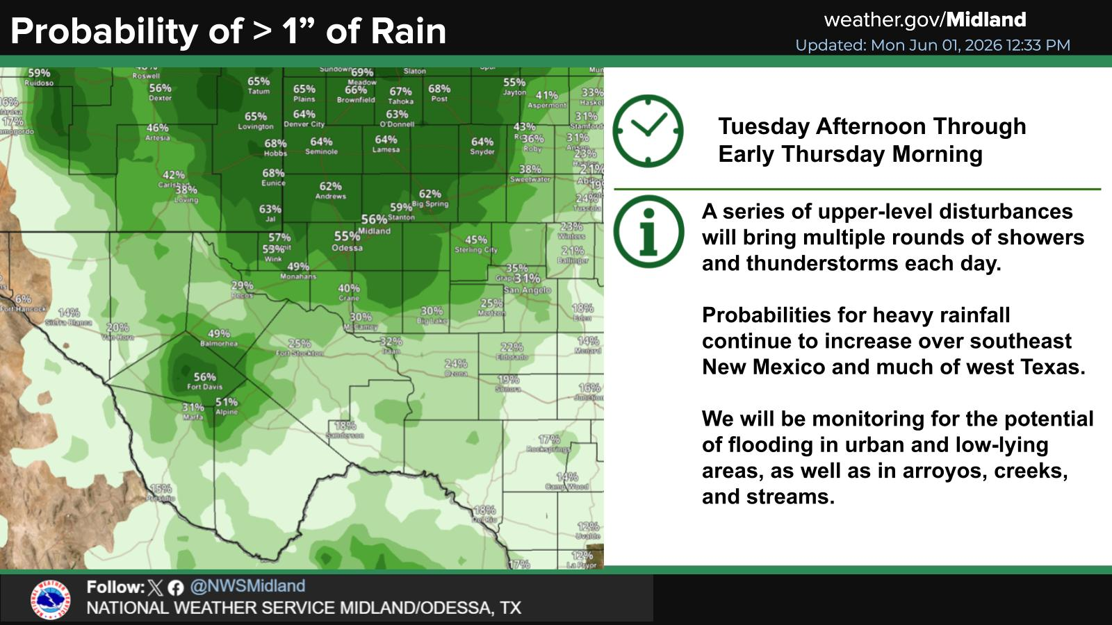
Low clouds and areas of rain are forecast for the southeastern plains Thursday night into Saturday morning. Scattered thunderstorms may also be embedded and produce heavy rainfall that may lead to flash flooding. The extent of the heavy rainfall is still somewhat uncertain as of today. Forecast models are still all over the place with storm totals for southeastern New Mexico by Saturday. With anywhere from 1" to nearly 4". Heavier totals are possible from the South Plains to parts of the Permian Basin of West Texas.
Why is this? Because forecast models, including the NHC hurricane models, are having fits trying to resolve the track of Hurricane Simon. Hurricane Simon was located about 65 miles WSW of Cabo Corrientes, Mexico, as of Noon MDT today. He has sustained winds of 105 mph with gusts near 130 mph, and is barely crawling to the west at 2 mph. Simon is forecast to turn to the northwest by Wednesday, and then to the northeast Wednesday night into Friday. Maybe. Again, forecast models are all over the place with his future course and track and how his remnant tropical moisture interacts with the cutoff low to our west.
Just to make life fun and a whole lot more interesting, we have another tropical storm fixing to develop (with 48 hours) near where Hurricanes Polo and Simon were born. She will be named Trudy, and guess what? Forecast models are already bringing her to the northwest in about a week, close to where Simon is forecast to move inland by Friday. I told you this fall was going to be wild; hang on, we are just getting started. You most definitely can thank El Niño for this.
Where Simon and eventually his remnant tropical moisture ends up and how much of it gets pulled northward into New Mexico and West Texas, is important and will have huge impacts on some of our local forecasts. As of this morning, current thinking and model forecasts bring his remnant tropical moisture into mainly southeastern New Mexico, parts of southern New Mexico, the Guadalupe, Sacramento, and Capitan Mountains, and the South Plains and Permian Basin of West Texas Wednesday night into the weekend.
Like a stuck record, I'll repeat myself again and say that this may not be set in stone, and some of these areas may get more or less rainfall than this morning's forecast models indicate. Headache time for sure for weather forecasters trying to nail this one down.
Snow In The Sacramento Mountains?
This morning's run of the Euro and Canadian models got a little crazy with their snowfall totals forecasts above about 8,500's in the Sacramento Mountains Thursday night into Friday night. Both want to dump 8" to 10" or so, especially over the higher peaks, including Ski Apache. I'm not sure that I'm buying into this much snow yet, but a chance for a mix of rain and snow is already in the forecasts for the higher elevations above 7,500' Thursday night, and again Friday night. All of this depends upon how much cold air settles in over the mountains, as far as how low snow levels may drop.
Thursday night into Friday will likely be raw and chilly, with overcast skies and periods of rain, some of it heavy, with at least a chance for flash flooding in parts of southeastern New Mexico. Our highs on Friday across the southeastern plains may not get out of the 50s and 60s, with overnight lows in the 40s from Friday morning into Sunday morning. Jacket and sweater weather is on its way.


(Valid Today Through Midnight Sunday, Oct 18, 2026).

Weather Prediction Center 7-Day Rainfall Forecast.


European ECMWF Snowfall Forecast.

Canadian (GDPS) Snowfall Forecast.

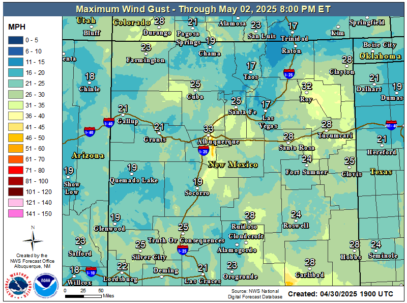
National Blend Of Models (NBM) Peak Wind Gust Swath Forecast.
(Thursday Through Friday).


You Want The Truth; You Can’t Handle The Truth!


































Comments
Post a Comment
Your comments, questions, and feedback on this post/web page are welcome.