Posts

Current Date & Time

Fall Freeze Data For New Mexico

Our Day Trip To The Guadalupe's - Saturday, July 15, 2017.

Image
My wife and I took off roaming around the Guadalupe mountains Saturday afternoon. As we were headed west down State Hwy #137 we saw a huge plume of black smoke billow up underneath a thunderstorm to our northwest. We deviated west on Marathon Road and the north on White Pine Road where I shot the above photo. It appeared that lightning had struck a tank battery or oil storage tank northwest of the Oxy Corp, Indian Basin Gas Plant. We arrived at the Queen cafe around 1:00 pm where we had lunch. Afterwards we drove west down the Queens Hwy (St Hwy 137) until we came upon Rim Road #67 and then headed north along it. After stopping and roaming around a couple of times on the rim, my wife spotted this little guy. Notice the markings on his tail.  I Shot The Pictures Above Of The Flooding At 2:37 PM MDT.  While we were on top of the rim, on National Livestock Road or more commonly known as Rim Road #67 we encountered something I've neve...

My Blog Archive List (July 2010 - August 2025).
Show more

My Current Weather Conditions

MY CoCoRaHS Precipitation Data

NWS Albuquerque 2026 Winter Outlook

Eddy County

Guadalupe Mtns Eddy & Culberson County

Lea County

NWS Midland Web Page

NWS Midland Web Page
Click On The Map To Open It Up

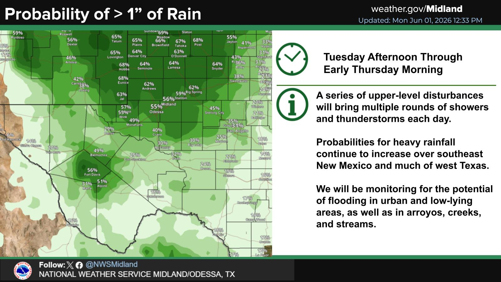
SE New Mexico & West Texas Precipitation Forecasts

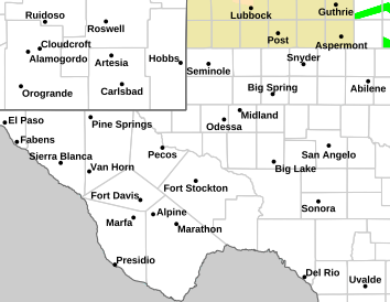
NWS Midland Hazardous Weather Outlook

NWS Midland Hazardous Weather Outlook
Click On The Image To See The Rest Of The Outlooks

NWS Midland Hazardous Weather Outlook

NWS Midland Hazardous Weather Outlook

NWS Midland Hazardous Weather Outlook

NWS Midland Hazardous Weather Outlook
Click On The Image To See The Rest Of The Outlooks

NWS Midland Forecast Graphic

NWS Midland Graphic Forecast

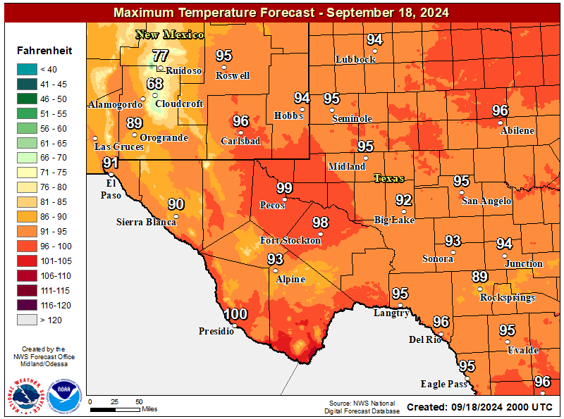
NWS Midland Forecast High Temperatures Today

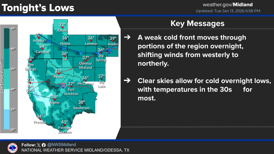
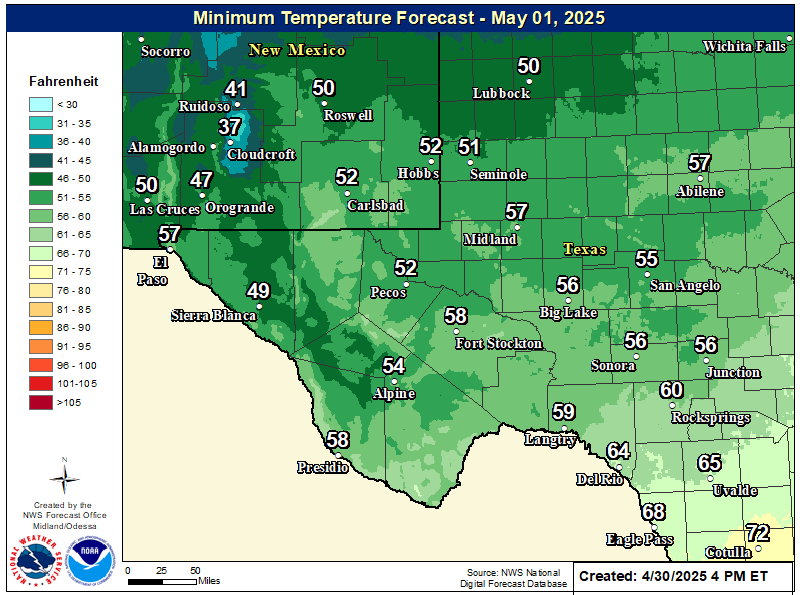
NWS Midland Forecast Low Temperatures Tonight

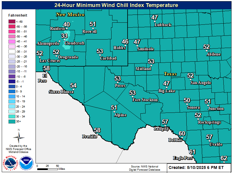
NWS Midland Wind Chill Forecast

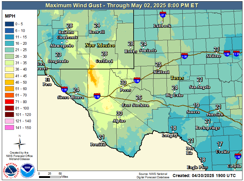
NWS Midland Peak Wind Gust Forecast

New Mexico

Chaves County Plains & Mtn's

Lincoln County

NWS Albuquerque Web Page

NWS Albuquerque Web Page
Click On The Map To Open It Up

NWS Albuquerque New Mexico Precipitation Forecasts

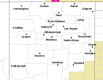
NWS Albuquerque Hazardous Weather Outlook

NWS Albuquerque Hazardous Weather Outlook

NWS Albuquerque Graphic Forecast

NWS Albuquerque Forecast Grpahics

NWS Albuquerque Forecast Graphics

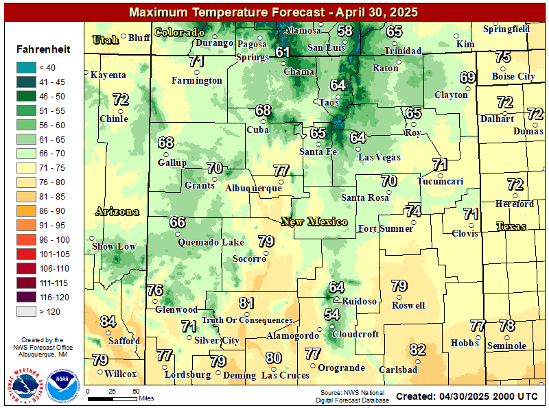
NWS Albuquerque Forecast High Temperatures Today

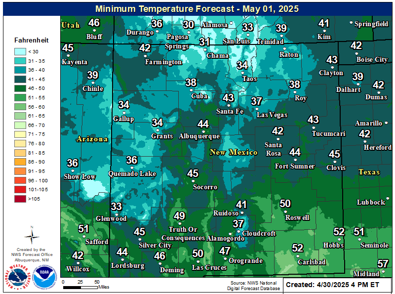
NWS Albuquerque Forecast Low Temperatures Tonight

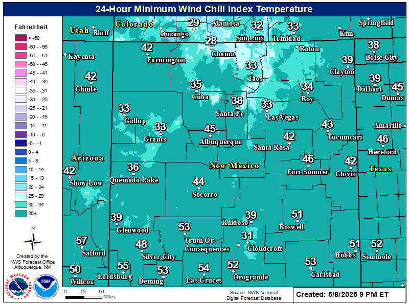
NWS Albuquerque Wind Chill Forecast

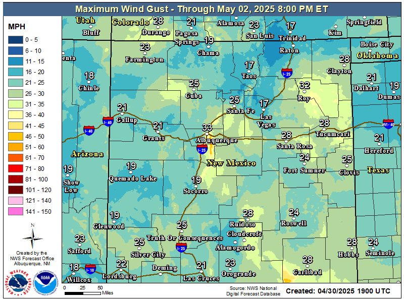
NWS Albuquerque Peak Wind Gust Forecast

Texas

Otero County

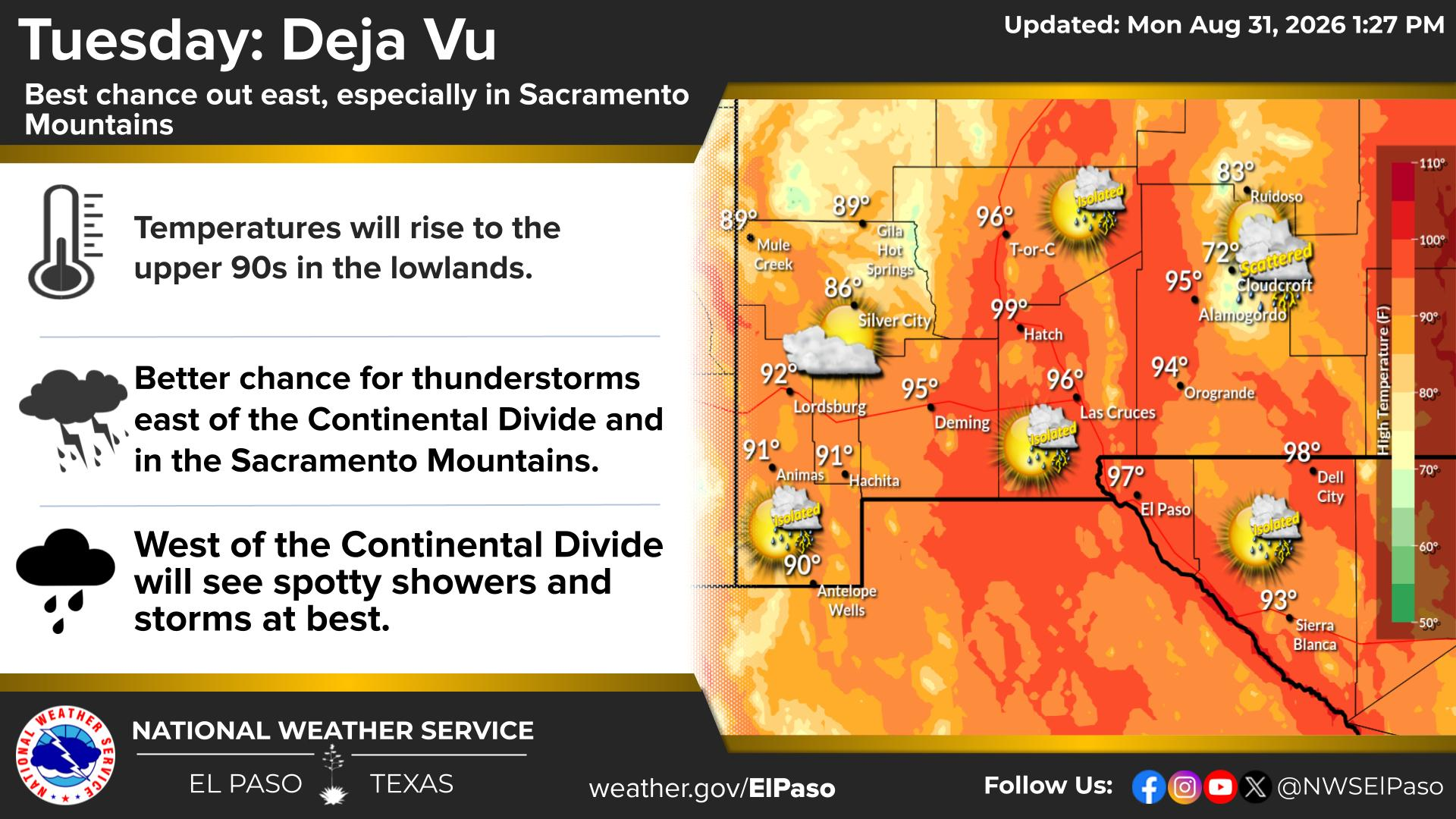
NWS El Paso Web Page

Southern New Mexico & Far West Texas Precipitation Forecasts

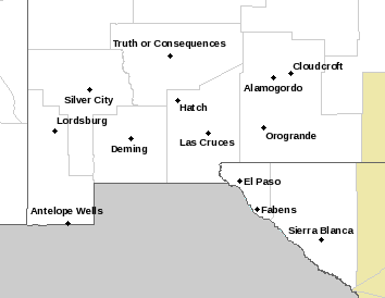
NWS El Paso Hazardous Weather Outlook

NWS El Paso Hazardous Weather Outlook
Click On The Image To See The Rest Of The Outlooks

NWS El Paso Hazardous Weather Outlook

NWS El Paso Hazardous Weather Outlook
Click On The Image To See The Rest Of The Outlooks

NWS El Paso Hazardous Weather Outlook

NWS El Paso Graphic Forecast

NWS El Paso Graphic Forecast

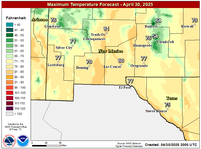
NWS El Paso Forecast High Temperatures Today

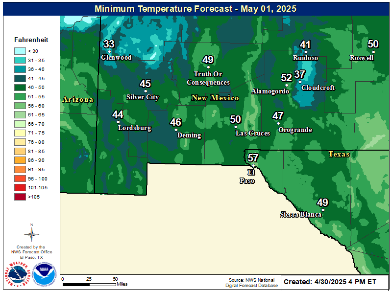
NWS El Paso Forecast Low Temperatures Tonight

NWS El Paso Wind Chill Forecast

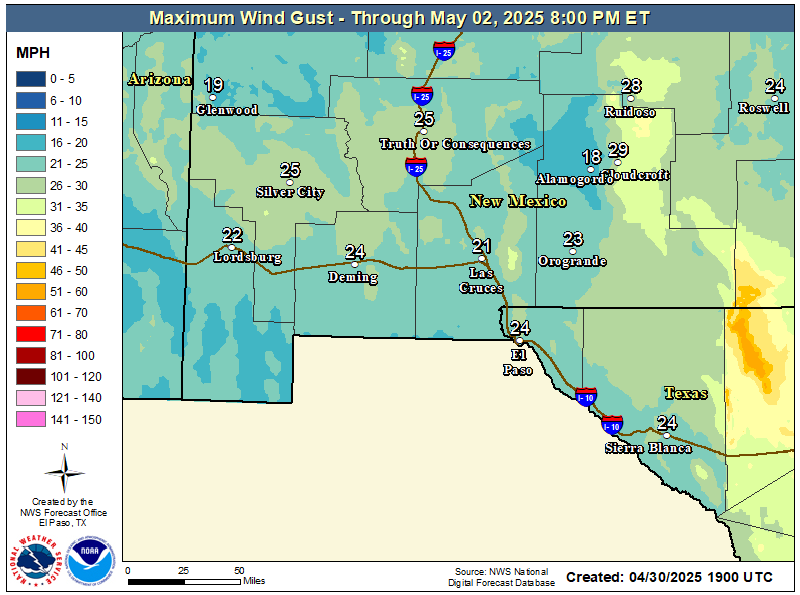
NWS El Paso Peak Wind Gust Forecast

NWS Lubbock Web Page

NWS Lubbock Web Page
Click On The Map To Open It Up

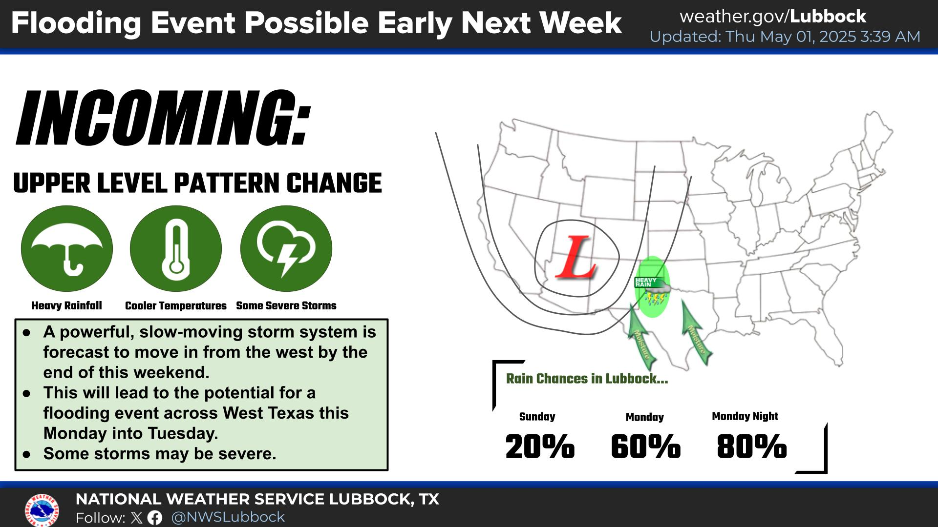
NWS Lubbock South Plains Precipitation Forecasts

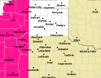
NWS Lubbock Hazardous Weather Outlook

NWS Lubbock Hazardous Weather Outlook
Click On The Image To See The Rest Of The Outlooks

NWS Lubbock Hazardous Weather Outlook

NWS Lubbock Hazardous Weather Outlook
Click On The Image To See The Rest Of The Outlooks

NWS Lubbock Hazardous Weather Outlook

NWS Lubbock Hazardous Weather Outlook

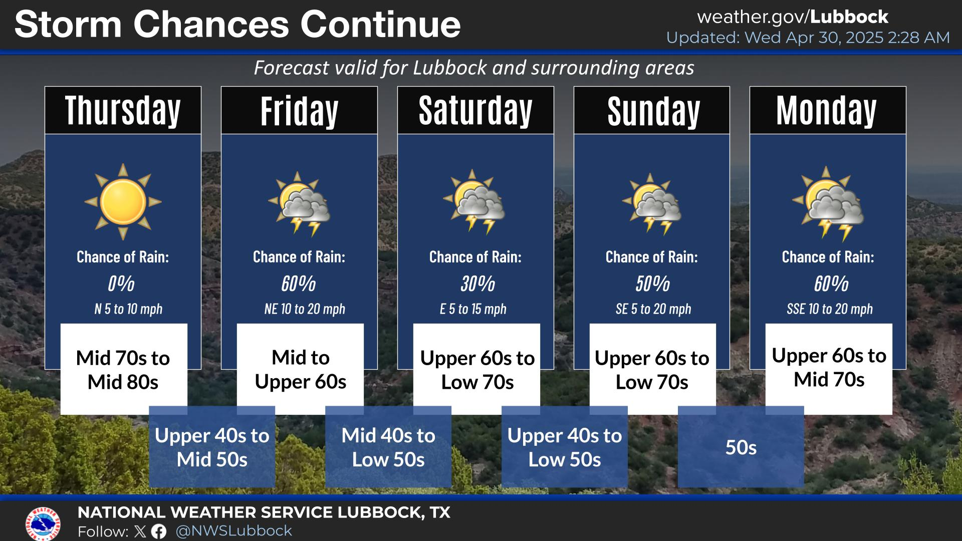
NWS Lubbock Graphic Forecast

NWS Lubbock Graphic Forecast

NWS Lubbock Graphic Forecast

NWS Lubbock Hi Temperature Forecast Today

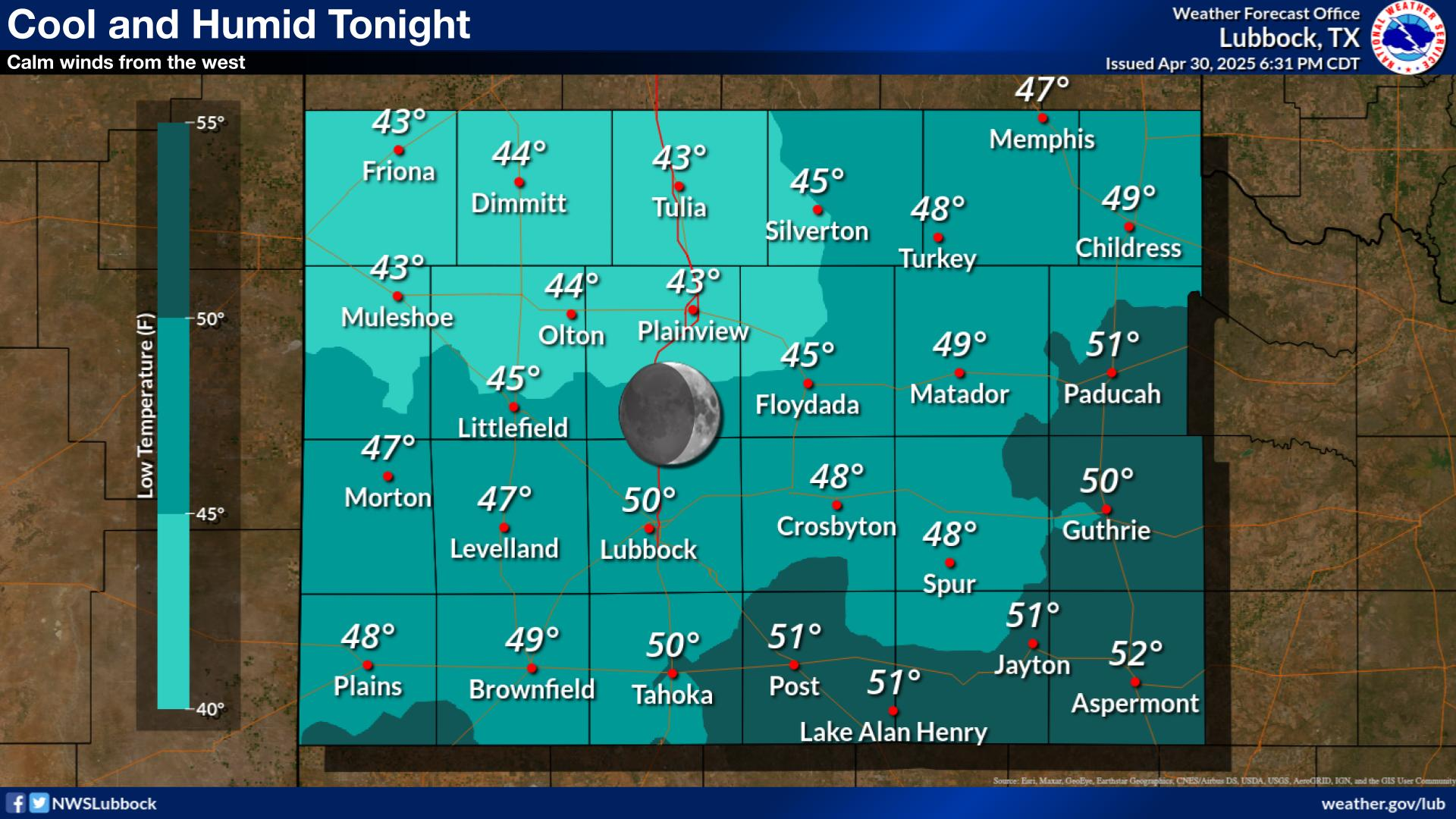
NWS Lubbock Low Temperature Forecast Tomight

My Rainfall Totals - 2.1 NNW Downtown Carlsbad

My Rainfall Totals - 2.1 NNW Downtown Carlsbad

My Seasonal Snowfall Totals - 2.1 NNW Downtown Carlsbad

My Seasonal Snowfall Totals - 2.1 NNW Downtown Carlsbad

Disclaimer

This blog and its contents are for informational purposes only! Always have multiple sources of information available to rely upon during severe weather. Do not rely solely on the Internet. Be weather-aware, plan ahead, have a backup plan, and be ready to act before severe weather strikes your location.