Posts

Showing posts from July, 2014

Current Date & Time

Fall Freeze Data For New Mexico

Cumulonimbus Mammatus In Lea Co, NM.

Image
Cumulonimbus Mammatus clouds in Lea County, NM yesterday evening. The Truth Is Stranger Than Fiction!  My Web Page Is Best Viewed With Google Chrome.

Sights & Sounds Of A Summer T-Storm - Carlsbad, NM 7-19-2014.

Image
Published on Jul 20, 2014 This severe thunderstorm moved southeastward out of Chaves County Saturday night, and into Carlsbad just before midnight. it produced damaging thunderstorm wind gusts in excess of 60 mph in Dexter, NM (Chaves County). Large trees were blown down around Dexter and a shed was toppled at the Lake Van Wildlife Fish Hatchery. A semi trailer being used to store household goods was rolled just north of Artesia on Mill and Bolton Rd's. Golf ball size hail fell in south Artesia at 10:55 PM MDT.   A thunderstorm wind gust to 58 mph was recorded in Carlsbad at the municipal golf course, and a gust to 54 mph was recorded at the airport. I recorded the sights and sounds of this thunderstorm starting at 11:56 PM MDT, Saturday, July 19, 2014 as it rolled into town. The Truth Is Stranger Than Fiction!   My Web Page Is Best Viewed With Google Chrome.

Severe Thunderstorms In The Pecos Valley Saturday Night.

Image
Blog up dated at 3:37 PM MDT. Damaging thunderstorm wind gusts associated with the severe thunders torm that rolled through Artesia last night rolled this semi trailer over northeast of Artesia on Mill and Bolton Rds. Homeowner was using the trailer to store household goods after a fire earlier this year. 3.50" of rain fell at that location too. Photos are courtesy of Carrie Greenwood of Artesia, NM. Severe thunderstorms rolled into Artesia around 10:45 PM MDT last night. Golf ball size hail was reported by the public in south Artesia at 10:55 PM.  Strong thunderstorm winds downed trees at Lake Van near Dexter in Ch aves County  Saturday evening. Courtesy of Ernestine Reza's. Large tree blown down last night east of Dexter, NM as well as a shed at the US Wildlife Fish Hatchery in Dexter. Photos are courtesy of Jennifer Coats of Dexter. GRLevel3 2.00 Midland NWS Dual Pol Doppler Radar Estimated Rainfall Totals. NWS Me...

Artesia Sunset.

Image
Artesia, New Mexico sunset yesterday. The Truth Is Stranger Than Fiction!   My Web Page Is Best Viewed With Google Chrome.

Pump Jack Rainbow.

Image
Just wondering if there is any gold at the end of this rainbow in that pump jack? I took this photo this morning along State Hwy 128 just inside the Eddy County line. The Truth Is Stranger Than Fiction!   My Web Page Is Best Viewed With Google Chrome.

Heavy Rains In Parts Of Eddy County New Mexico.

Image
Thunderstorms once again dumped localized heavy rains over parts of Eddy County yesterday afternoon, and overnight. Some locations near Whites City, and Carlsbad Caverns National Park received 3" - 5" according to radar estimates. The Pine Springs Raws recorded 3.30" of rainfall. I picked up .14" here in Carlsbad for a two day total of .34". The Truth Is Stranger Than Fiction!   My Web Page Is Best Viewed With Google Chrome.

Reality In America Now!

Image
 Obama Is Keeping His Promise To Fundamentally Transform America. The Truth Is Stranger Than Fiction!   My Web Page Is Best Viewed With Google Chrome.

Super Moon 7-12-2014.

Image
Last night's "Super Moon" rising over the Red Hills Gas Plant located 22 miles west-northwest of Jal, NM. The Truth Is Stranger Than Fiction!   My Web Page Is Best Viewed With Google Chrome.

Will The 2014 El Nino Be A Bust?

Image
The 2014 El Niño Is Looking More And More Like A Bust . Sea Surface Temps & Anomalies Courtesy Of WeatherBell. How many of you remember all of the hype and hopula that the media put out late this winter into this spring about the 2014 El Nino being a "Super El Nino" possibly as strong or stronger than the 1997 El Nino? The left will go to extremes to try and promote their Global Warming, Climate Change, agenda. Well here is the latest and its not looking too good for their propaganda.   Peru says El Niño threat over, waters cooling and fish returning. LIMA (Reuters) – The worst of the potentially disastrous weather pattern El Nino is now behind Peru and cooling sea temperatures are luring back schools of anchovy, the key ingredient in fishmeal, authorities said on Friday. Temperatures in Peru’s Pacific peaked in June, rising 3 degrees Celsius (5.4 Fahrenheit) above average levels, but have since retreated and will likely return to normal by Augu...

Happy 4th Of July!

Image
The Truth Is Stranger Than Fiction!   My Web Page Is Best Viewed With Google Chrome.

My Blog Archive List (July 2010 - August 2025).

Show more

My Current Weather Conditions

MY CoCoRaHS Precipitation Data

NWS Albuquerque 2026 Winter Outlook (Updated Nov 3rd).

NWS Midland Web Page

NWS Midland Web Page
Click On The Map To Open It Up

SE New Mexico & West Texas Precipitation Forecasts

Eddy County

Guadalupe Mtns Eddy & Culberson County

Lea County

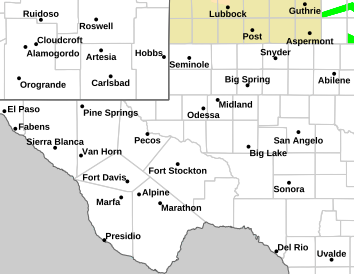
NWS Midland Hazardous Weather Outlook

NWS Midland Hazardous Weather Outlook
Click On The Image To See The Rest Of The Outlooks

NWS Midland Hazardous Weather Outlook

NWS Midland Hazardous Weather Outlook

NWS Midland Hazardous Weather Outlook

NWS Midland Hazardous Weather Outlook
Click On The Image To See The Rest Of The Outlooks

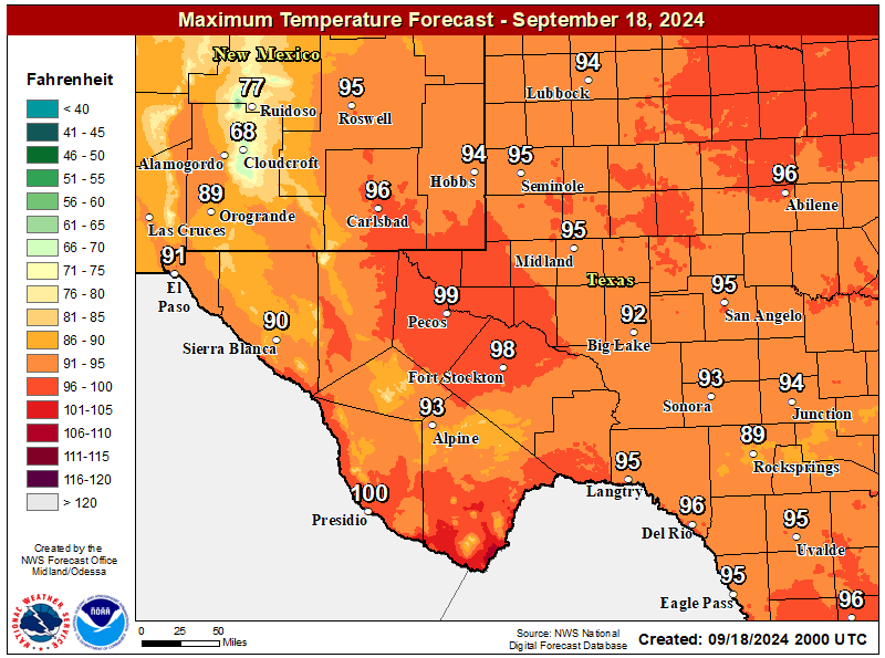
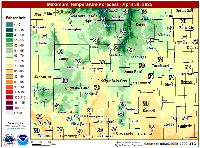
NWS Midland Forecast High Temperatures Today

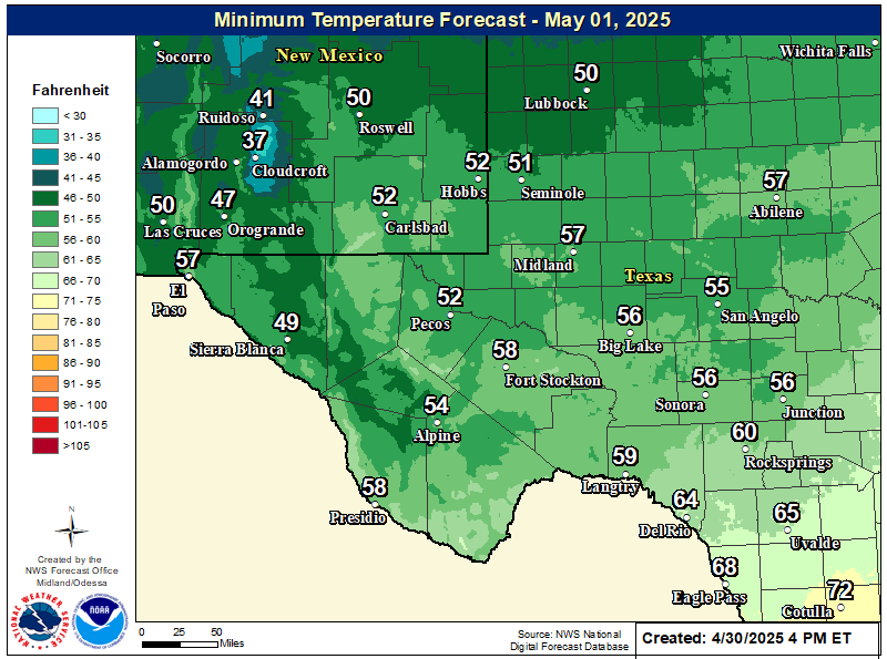
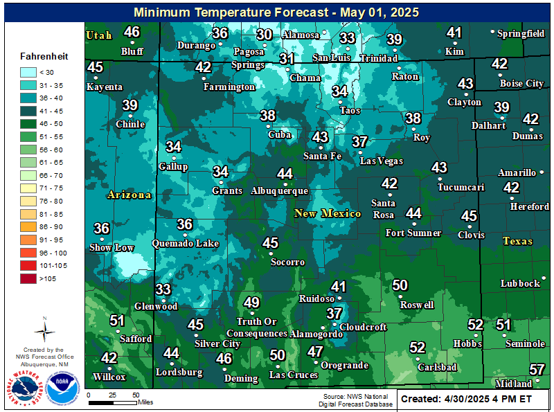
NWS Midland Forecast Low Temperatures Tonight

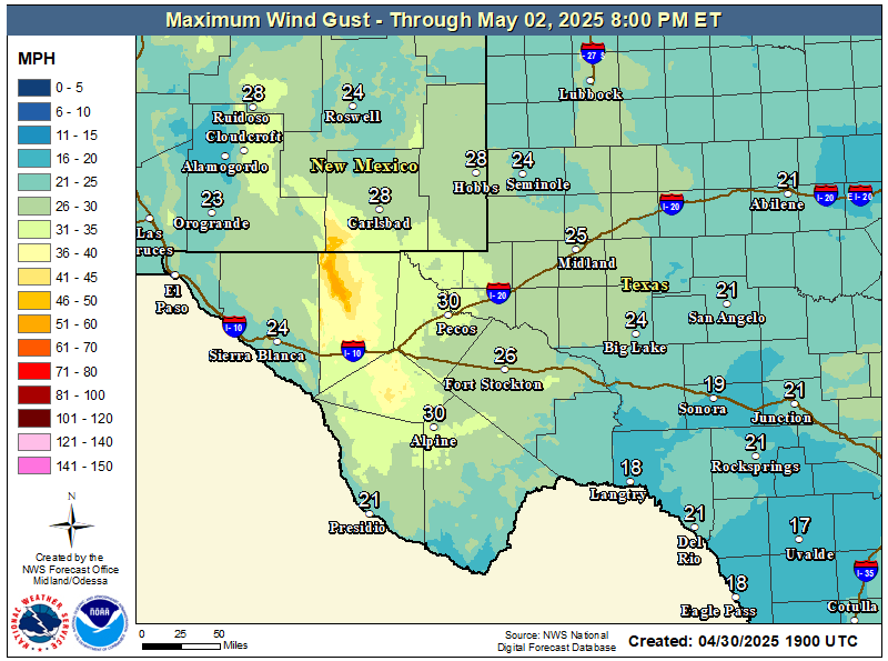
NWS Midland Peak Wind Gust Forecast

NWS Midland Forecast Graphic

NWS Midland Forecast Graphic
Rain chances will increase from west to east over our area Friday evening through early Saturday morning ahead of an approaching upper level system. Rain showers may linger over eastern portions of our region into the day Saturday. Locally heavy rainfall may result in minor flooding or ponding of water in urban and low lying areas, but the overall risk of flash flooding remains very limited.

NWS Albuquerque Web Page

NWS Albuquerque Web Page
Click On The Map To Open It Up

NWS Albuquerque New Mexico Precipitation Forecasts

New Mexico

Chaves County Plains & Mtn's

Lincoln County

NWS Albuquerque Hazardous Weather Outlook

NWS Albuquerque Hazardous Weather Outlook

NWS Albuquerque Forecast High Temperatures Today

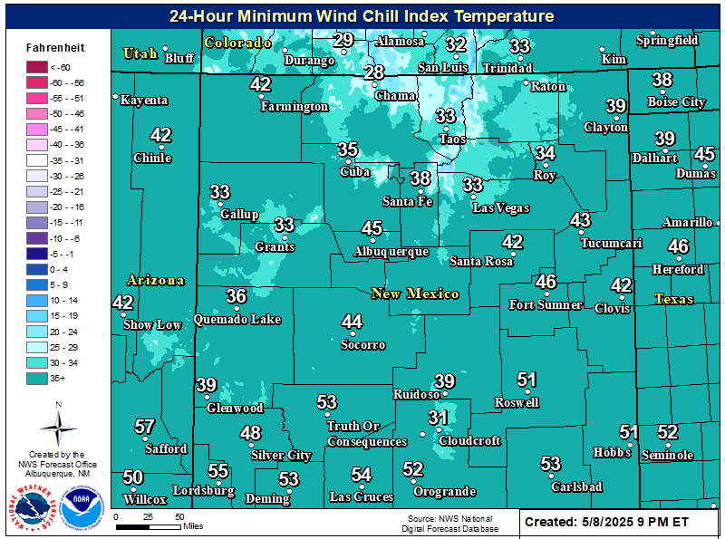
NWS Albuquerque Forecast Low Temperatures Tonight

NWS Albuquerque Wind Chill Forecast

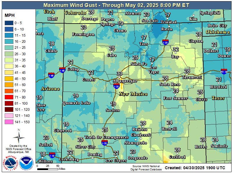
NWS Albuquerque Peak Wind Gust Forecast

NWS Albuquerque Graphic Forecast

NWS Albuquerque Graphic Forecast
Showers with embedded thunderstorms enter southwestern NM this afternoon, spreading to more of eastern and northern NM tonight into Saturday morning. Some storms will produce gusty winds and brief moderate rainfall.

NWS Albuquerque Graphic Forecast

NWS Albuquerque Graphic Forecast
Valley rain and mountain snow spread over the northern mountains with rain and storms favoring the eastern plains through much of the day Saturday.

NWS Albuquerque Graphic Forecast

NWS Albuquerque Graphic Forecast
Snow above 9,000' will generally range 2-6 inches with locally higher amounts up to 8 inches atop the peaks. Slick winter travel will favor the U.S. 64 corridor through the Tusas Mts.

NWS Albuquerque Forecast Grpahics

NWS Albuquerque Forecast Grpahics
Cooler and wetter weather late today through the weekend. Calmer weather returns late Sunday through Monday before the next storm system looks to clip northwestern NM Tuesday.

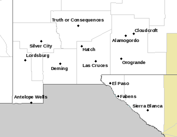
NWS El Paso Web Page

Southern New Mexico & Far West Texas Precipitation Forecasts

Texas

Otero County

NWS El Paso Hazardous Weather Outlook

NWS El Paso Hazardous Weather Outlook
Click On The Image To See The Rest Of The Outlooks

NWS El Paso Hazardous Weather Outlook

NWS El Paso Hazardous Weather Outlook
Click On The Image To See The Rest Of The Outlooks

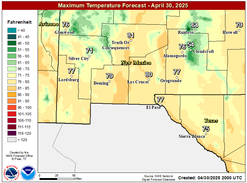
NWS El Paso Forecast High Temperatures Today

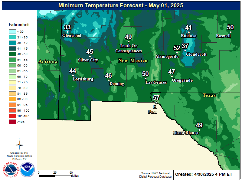
NWS El Paso Forecast Low Temperatures Tonight

NWS El Paso Wind Chill Forecast

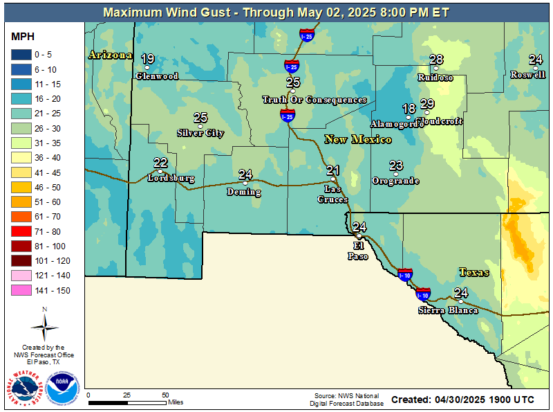
NWS El Paso Peak Wind Gust Forecast

NWS El Paso Graphic Forecast

NWS El Paso Graphic Forecast
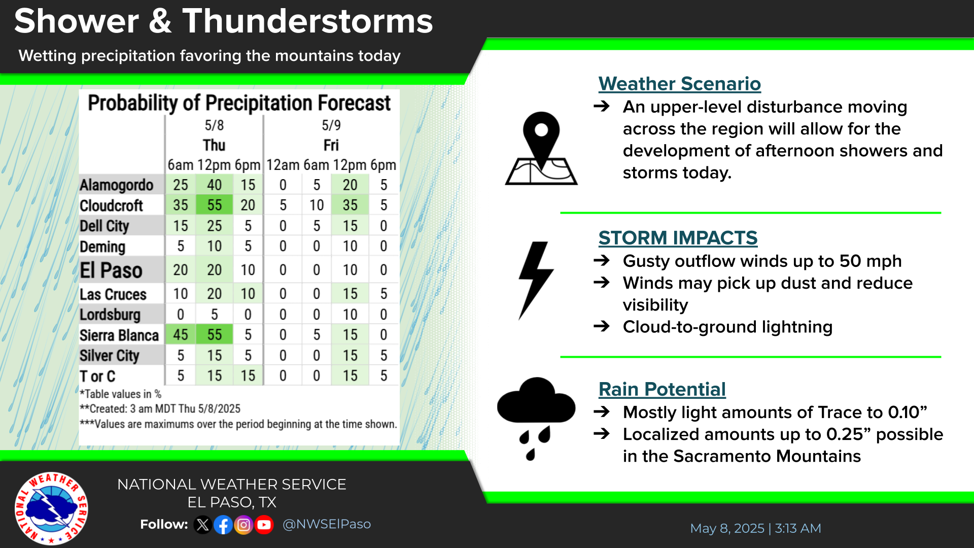
A Pacific storm system rapidly moves across Arizona and southern New Mexico in the afternoon and night of Friday. Highest rainfall is expected east of the Rio Grande Valley.

NWS El Paso Graphic Forecast

NWS El Paso Graphic Forecast
Showers will begin in the west Friday afternoon and spread east through the evening. Highest rainfall amounts likely from the Rio Grande Valley east. A few thunderstorms also possible.
NWS El Paso Graphic Forecast

NWS Lubbock Web Page

NWS Lubbock Web Page
Click On The Map To Open It Up

NWS Lubbock Hazardous Weather Outlook

NWS Lubbock Hazardous Weather Outlook
Click On The Image To See The Rest Of The Outlooks

NWS Lubbock Hazardous Weather Outlook

NWS Lubbock Hazardous Weather Outlook
Click On The Image To See The Rest Of The Outlooks

NWS Lubbock South Plains Precipitation Forecasts

NWS Lubbock Hi Temperature Forecast Today

NWS Lubbock Low Temperature Forecast Tomight

NWS Lubbock Graphic Forecast

NWS Lubbock Graphic Forecast
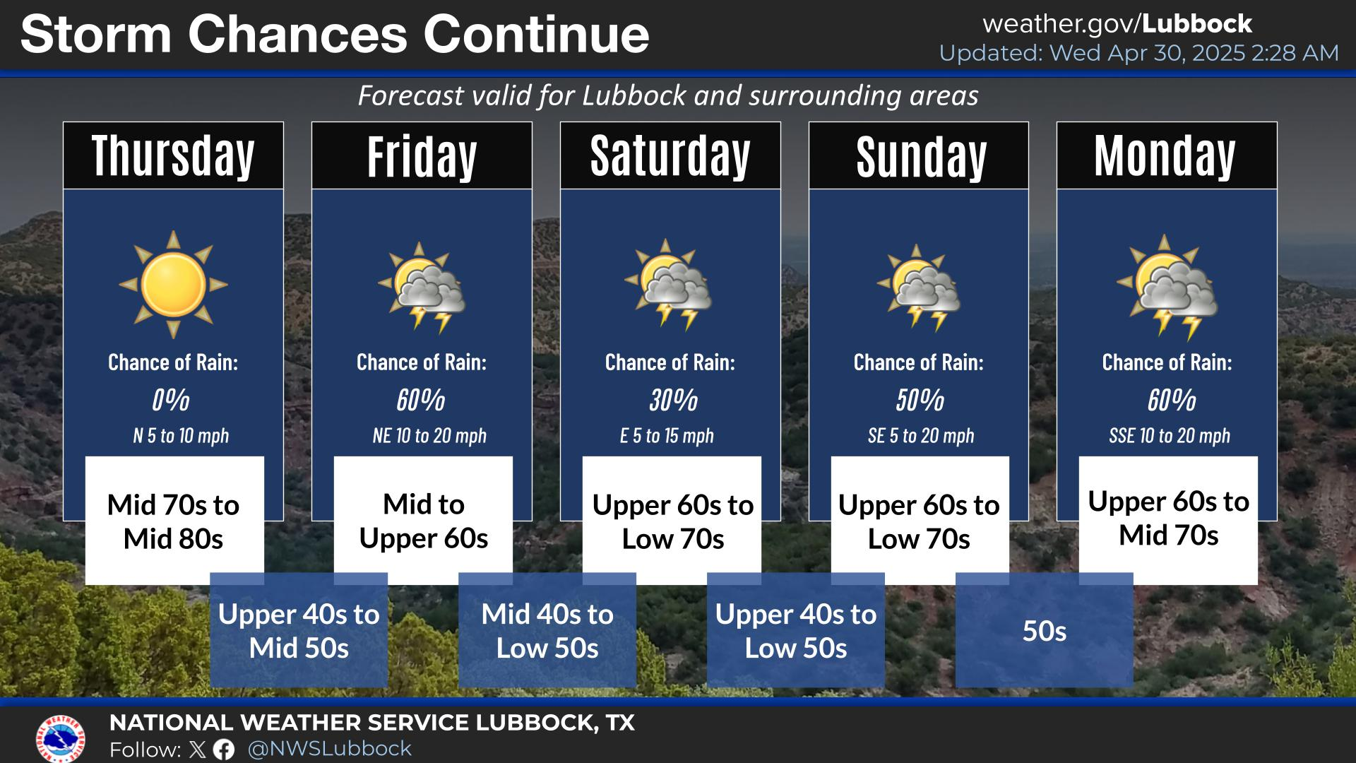
Today will start off mostly with highs in the 60s. Clouds will increase tonight along with rain chances with lows in the 40s.
NWS Lubbock Graphic Forecast

NWS Lubbock Graphic Forecast
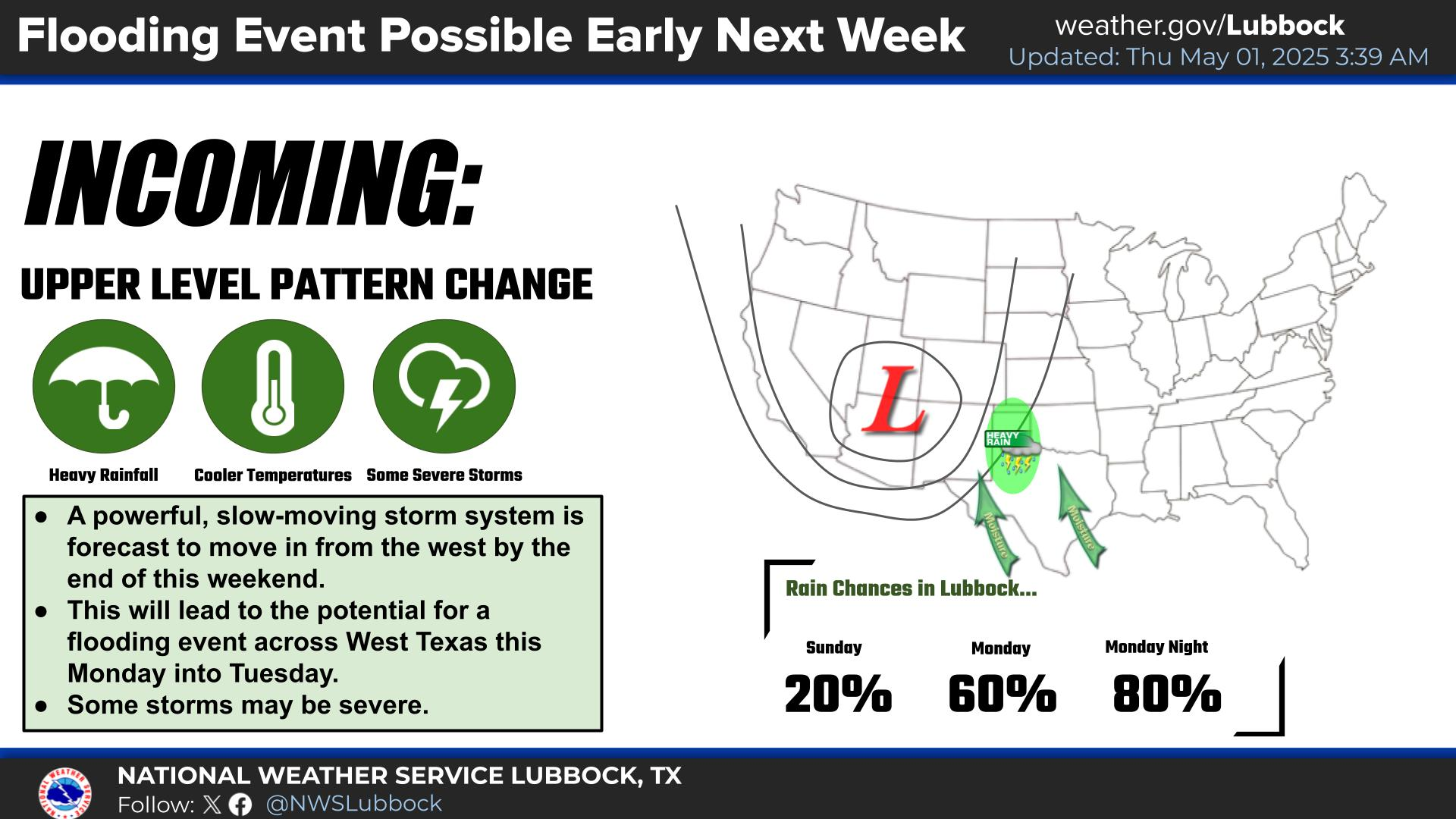
Cloudy, cool, and rainy conditions are expected across the region Saturday through Saturday night. The highest rain chances will generally be off the Caprock after 6 PM on Saturday evening. Some locally heavy rain is possible, but widespread flooding is not expected.

NWS Lubbock Graphic Forecast

NWS Lubbock Graphic Forecast
Precipitation chances return Friday night through Sunday, with the best chances being Saturday night. Severe storms are not expected, but rainfall amounts over an inch are possible (20-40% chance) off the Caprock. Cooler conditions are expected at the start of next week, when highs may only be in the low 50s.

My Rainfall Totals - 2.1 NNW Downtown Carlsbad

My Rainfall Totals - 2.1 NNW Downtown Carlsbad

My Seasonal Snowfall Totals - 2.1 NNW Downtown Carlsbad

My Seasonal Snowfall Totals - 2.1 NNW Downtown Carlsbad

Disclaimer

This blog and its contents are for informational purposes only! Always have multiple sources of information available to rely upon during severe weather. Do not rely solely on the Internet. Be weather-aware, plan ahead, have a backup plan, and be ready to act before severe weather strikes your location.