Current Date & Time

Blog Comments From Tom Nelson About Global Cooling.


Icecap: cooling will accelerate as the Atlantic joins the Pacific and as the German and Russian scientists predict, the sun continues its dive into a Maunder or at least Dalton like Minimum.


Direct Quotes By Tom-

"The United States has cooled for what will be 18 years this winter. Every one of the 9 climate regions has a downtrend. We have broken all snow records. See the story on how this decade is already the snowiest ever for high impact east coast snows.

 The cooling will accelerate as the Atlantic joins the Pacific and as the German and Russian scientists predict, the sun continues its dive into a Maunder or at least Dalton like Minimum. 

This cooling is related entirely to the cooling Pacific and occurring despite the fact we have not had major volcanic activity since Pinatubo in 1991.As the other domino's fall and if a major volcano occurs, the cold we saw this past week will be commonplace and even more severe. 

The government’s energy policy threatens to create great pain as we found in the EU where the renewable energy push has ben much greater and energy prices skyrocketed. They have had more severe winters the past 5 years with many pushed into energy poverty and a heavy death toll. The elderly living on a fixed budget and the poor will suffer the most.

  Seth, you and Jeff Masters, Andrew Dessler, Katharine Hayhoe and Jennifer Francis can take the blame when that happens."

The Truth Is Stranger Than Fiction! 

 My Web Page Is Best Viewed With Google Chrome.

Comments

My Blog Archive List (July 2010 - August 2025).

Show more

My Current Weather Conditions

MY CoCoRaHS Precipitation Data

NWS Albuquerque 2026 Winter Outlook (Updated Nov 3rd).

NWS Midland Web Page

NWS Midland Web Page
Click On The Map To Open It Up

SE New Mexico & West Texas Precipitation Forecasts

Eddy County

Guadalupe Mtns Eddy & Culberson County

Lea County

NWS Midland Hazardous Weather Outlook

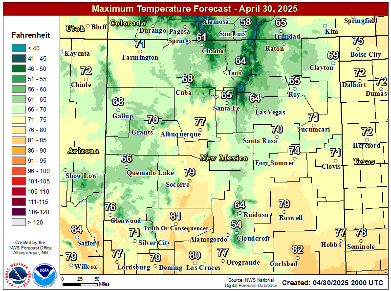
NWS Midland Forecast High Temperatures Today

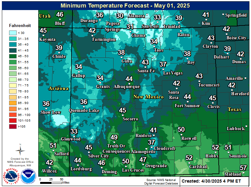
NWS Midland Forecast Low Temperatures Tonight

NWS Midland Peak Wind Gust Forecast

NWS Midland Forecast Graphic

NWS Midland Forecast Graphic
Patchy areas of dense fog is expected across southeast New Mexico, northern Permian Basin, and Guadalupe Mountains tonight through Thursday morning. Drive with caution when encountering fog!

NWS Midland Graphic Forecast

NWS Midland Graphic Forecast
Low clouds and fog over portions of the area will lift by late this morning. Warmer temperatures return today through Saturday. The next cold front arrives Sunday with much cooler temperatures to follow into early next week. Dry weather through the weekend before another system brings a chance of rain by early next week.

NWS Midland Forecast Graphic

NWS Midland Forecast Graphic
A damage survey concluded a thunderstorm produced two tornadoes in Gaines and Dawson counties, respectively, on the evening of November 14th. Here are the findings and details of the survey.

NWS Albuquerque Web Page

NWS Albuquerque Web Page
Click On The Map To Open It Up

NWS Albuquerque New Mexico Precipitation Forecasts

New Mexico

Chaves County Plains & Mtn's

Lincoln County

NWS Albuquerque Hazardous Weather Outlook

NWS Albuquerque Hazardous Weather Outlook

NWS Albuquerque Forecast High Temperatures Today

NWS Albuquerque Forecast Low Temperatures Tonight

NWS Albuquerque Wind Chill Forecast

NWS Albuquerque Peak Wind Gust Forecast

NWS Albuquerque Graphic Forecast

NWS Albuquerque Graphic Forecast
Dense Fog is likely to return to areas of east-central and southeastern New Mexico tonight into Thursday morning. Low visibility as low as a quarter mile will impact the morning commute in these areas.

NWS Albuquerque Graphic Forecast

NWS Albuquerque Graphic Forecast
Gusty winds return on Friday across the forecast area. The strongest winds are forecast to be in northeast New Mexico.

NWS Albuquerque Graphic Forecast

NWS Albuquerque Graphic Forecast
Daytime temperatures will be within several degrees of average through Friday, then trend below average going into next week. Chances for rain and snow showers will come back late Friday and Saturday, then increase further on Monday.

NWS El Paso Web Page

Southern New Mexico & Far West Texas Precipitation Forecasts

Texas

Otero County

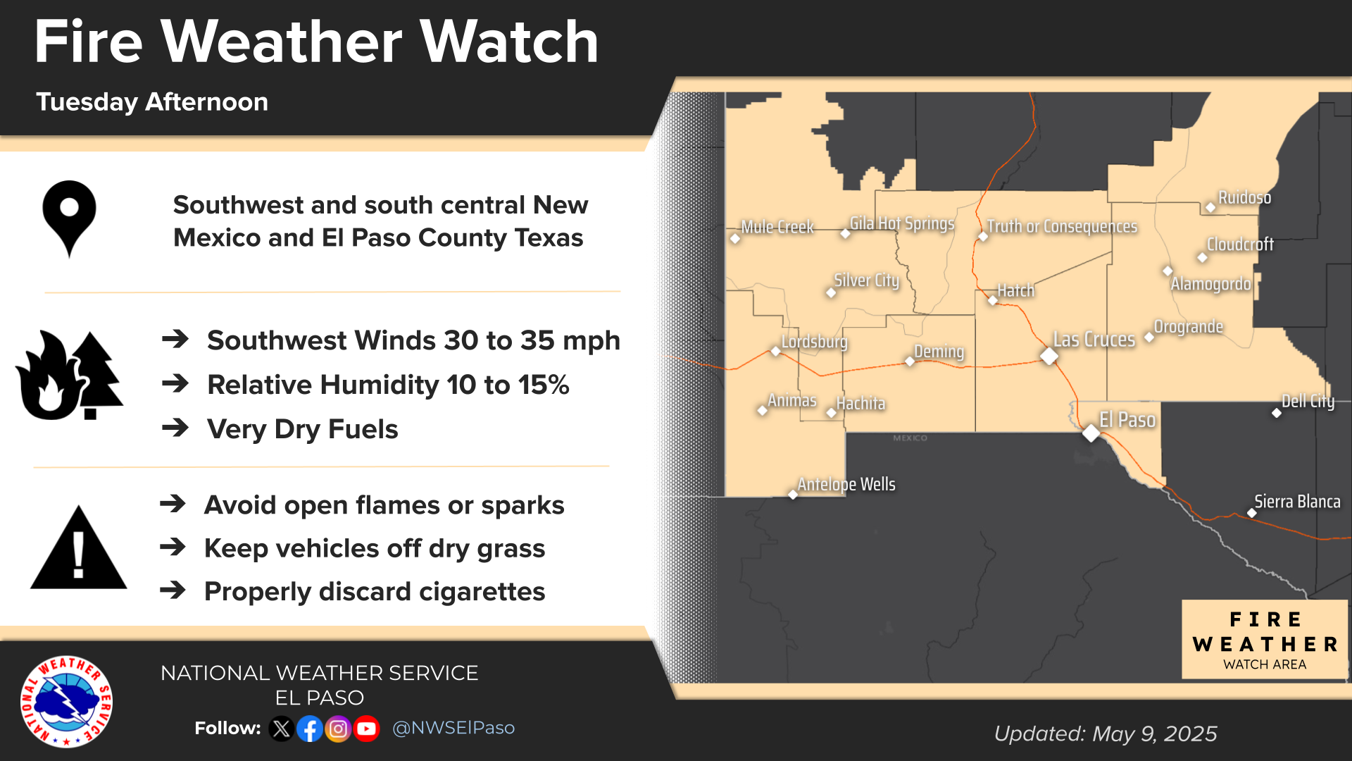
NWS El Paso Hazardous Weather Outlook

NWS El Paso Hazardous Weather Outlook
Click On The Image To See The Rest Of The Outlooks

NWS El Paso Hazardous Weather Outlook

NWS El Paso Hazardous Weather Outlook
Click On The Image To See The Rest Of The Outlooks

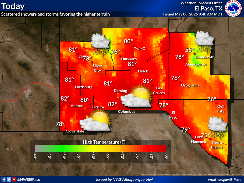
NWS El Paso Forecast High Temperatures Today

NWS El Paso Forecast Low Temperatures Tonight

NWS El Paso Wind Chill Forecast

NWS El Paso Peak Wind Gust Forecast

NWS El Paso Graphic Forecast

NWS El Paso Graphic Forecast

NWS Lubbock Web Page

NWS Lubbock Web Page
Click On The Map To Open It Up

NWS Lubbock South Plains Precipitation Forecasts

NWS Lubbock Hazardous Weather Outlook

NWS Lubbock Hi Temperature Forecast Today

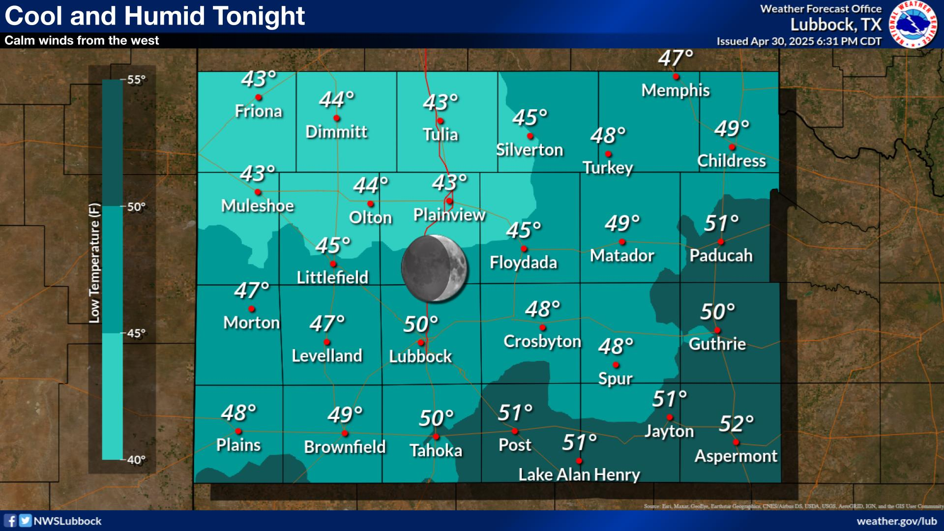
NWS Lubbock Low Temperature Forecast Tomight

NWS Lubbock Graphic Forecast

NWS Lubbock Graphic Forecast
A Dense Fog Advisory is in effect until 10 am Thursday for locations on the Caprock along and west of the I-27/U.S. 87 Corridor.

NWS Lubbock Graphic Forecast

NWS Lubbock Graphic Forecast
Low clouds and fog will redevelop tonight. The fog will likely become dense across much of the Caprock early Thursday morning. Skies will gradually clear out during the day Thursday with highs in the upper 50s to upper 60s.

NWS Lubbock Graphic Forecast

NWS Lubbock Graphic Forecast
Warming temperatures are expected during the second half of the week. However, a return to cooler temperatures is expected late this weekend.

My Rainfall Totals - 2.1 NNW Downtown Carlsbad

My Rainfall Totals - 2.1 NNW Downtown Carlsbad

My Seasonal Snowfall Totals - 2.1 NNW Downtown Carlsbad

My Seasonal Snowfall Totals - 2.1 NNW Downtown Carlsbad

Disclaimer

This blog and its contents are for informational purposes only! Always have multiple sources of information available to rely upon during severe weather. Do not rely solely on the Internet. Be weather-aware, plan ahead, have a backup plan, and be ready to act before severe weather strikes your location.