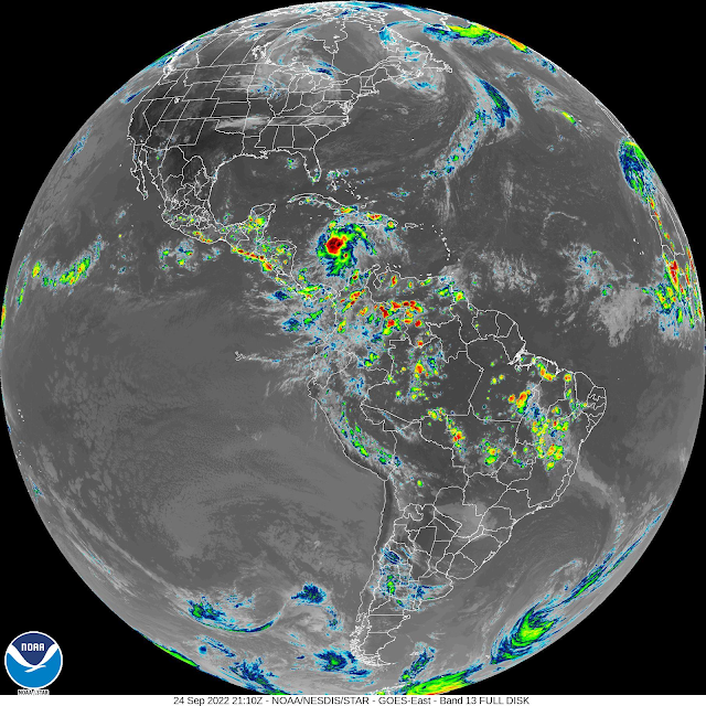
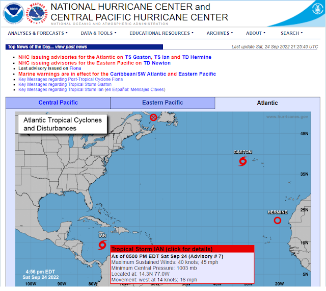
Tropical Storm Ian - 3 PM MDT Saturday, Sept 24, 2022.
(At 3:10 PM MDT Saturday, Sept 24, 2022).
NHC Forecast Track.
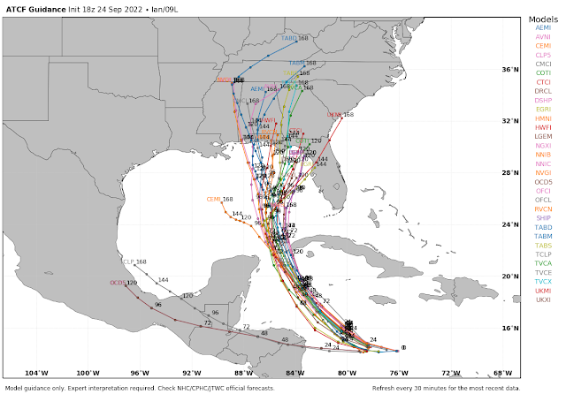
ATCF.
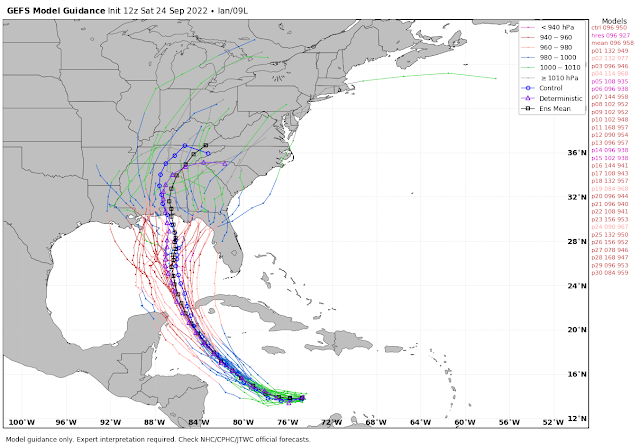
U.S. GEFS.
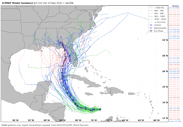
European (ECMWF).
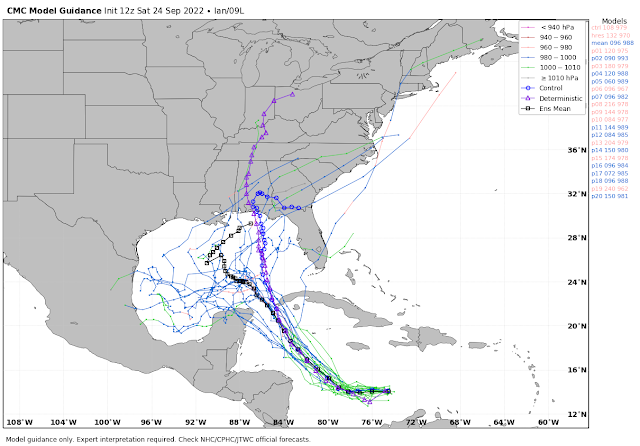
Canadian (CMC).
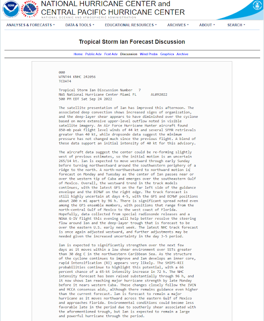
Tropical Storm Ian continues to slowly strengthen this Saturday afternoon. He is moving to the west at 16 mph and will make a turn to the northwest over the next few days. By Monday night or Tuesday Ian will likely strengthen into a Major Hurricane south of the western tip of Cuba.
There is some uncertainty in the computer forecast models concerning Ian's future track as he heads towards the Gulf of Mexico next week. For now, there are no indications that Ian will have any direct influence on our weather here in New Mexico and West Texas.
There is some uncertainty in the computer forecast models concerning Ian's future track as he heads towards the Gulf of Mexico next week. For now, there are no indications that Ian will have any direct influence on our weather here in New Mexico and West Texas.
There Are None So Blind As Those Who "Will - Not" To See...107.




Comments
Post a Comment
Your comments, questions, and feedback on this post/web page are welcome.