

More Lowland T-Storms/Rain & High Mountain Snows Inbound.

Near Rattlesnake Springs.
Southwest Of Carlsbad, New Mexico.
A busy parade of Pacific storms will continue to impact New Mexico and nearby areas' weather Friday and Saturday, and Tuesday and Wednesday of next week. Thanks to a continued strengthening (strongest on record since perhaps 1877/78). Here is the link for the latest El Niño update.
Storm #1 west of central California at noon today will dive south into southern California and the northern Baja Region by noon Friday. It then swings eastward along the New Mexico/Mexican border Friday night into Saturday morning, weakening as it approaches us.
Storm #2, a closed mid-upper-level low, will quickly chase the first storm as it moves across the New Mexico/Colorado border Saturday into Saturday night. It will close off as a closed mid-upper-level low as it moves east across northeastern New Mexico Sunday morning, and into Oklahoma Sunday and Sunday night.
Storms #3 and #4 will dive into the region starting Tuesday and into the end of next week.
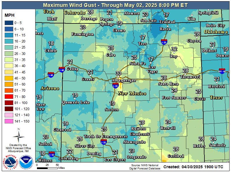
Widely scattered to scattered rain showers will develop and move into southwestern and western New Mexico on Friday, spreading east and northeast across the state Friday night into Saturday. A few embedded thunderstorms will accompany this activity.
Widely scattered to scattered rain showers and a few thunderstorms will develop late Friday afternoon and evening. These should end on Saturday. Storm total rainfall amounts of 1" to 2" will be possible associated with the heavier showers and thunderstorms. Otherwise, rainfall totals of .25" to .50" are possible over the Guadalupe, Sacramento, and Capitan Mountains as well as over the southeastern plains and parts of southern New Mexico and West Texas.
Snow levels will be around 9,000' over the northern mountains and 1" to 6" of new snow is forecast, favoring the western slopes above 9,000'. Some of the highest peaks may see more.
Localized flooding may be possible over northwestern New Mexico, but even if it doesn't occur, the moderate to locally heavy rainfall will add to the muddy mess still existing there.
Scattered rain showers with a few thunderstorms will move in and develop over the Guadalupe, Sacramento, and Capitan Mountains Friday afternoon and evening. Rain showers will continue overnight Friday into Saturday before ending Saturday night.
A mix of rain showers and snow showers will develop over the higher elevations of the Sacramento and Capitan Mountains Friday evening and continue into Saturday before ending Saturday night. This includes the Sunspot, Cloudcroft, Silver Lake, and Ski Apache areas. Ski Apache may see a couple of inches of new snow, while little accumulation (an inch or less) is forecast for the rest of the nearby areas mentioned.
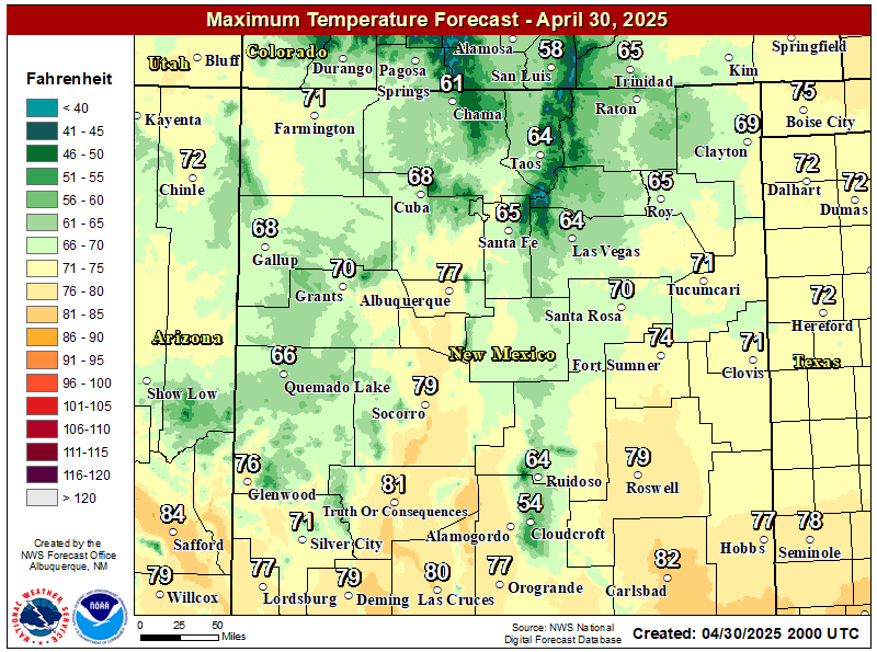
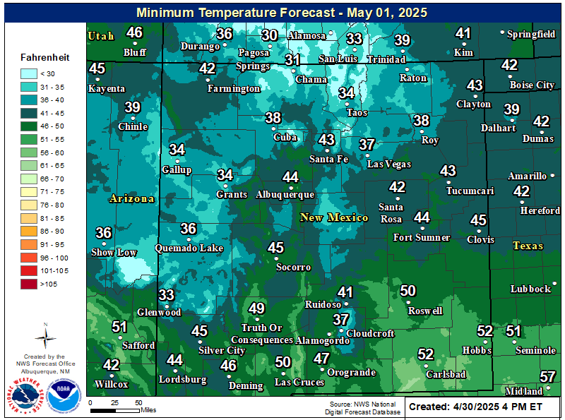
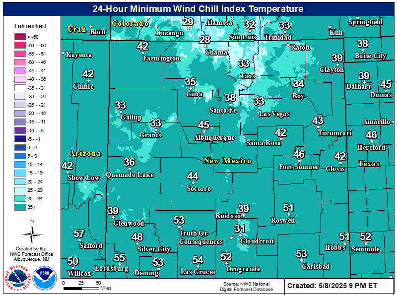
A Pacific cold front will move from west to east across the area Friday evening into Saturday. As the storms depart the area Sunday, a backdoor cold front will move across the area, bringing slightly cooler temps behind it. Highs on Sunday will be near 60, and the low to mid 50s on Monday and Tuesday across the southeastern plains.
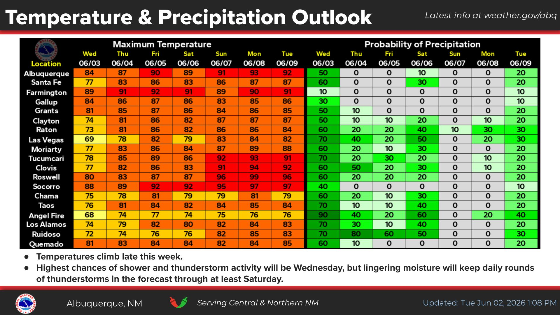
Long-range forecasts call for more of what we have already had so far this fall. More rain! Model forecasts are calling for a trend towards colder temps along with more rain/snow the last week of this month into the first week of December. Along with colder temps, the chances for more snow than rain in the mountains are also going up, with lower snow levels forecast.
FXUS64 KMAF 122249
AFDMAF

Area Forecast Discussion
National Weather Service Midland/Odessa TX
449 PM CST Thu Nov 12 2026

...New AVIATION...

.KEY MESSAGES...
Updated at 447 PM CST Thu Nov 12 2026

- Dry and seasonable weather is expected through Friday morning.

- A disturbance brings the return of rain chances beginning Friday
  and continuing into Saturday.

&&
FXUS65 KABQ 122318
AFDABQ

Area Forecast Discussion
National Weather Service Albuquerque NM
418 PM MST Thu Nov 12 2026

...New AVIATION...

.KEY MESSAGES...
Issued at 414 PM MST Thu Nov 12 2026

- Slick travel conditions due to valley rain and mountain snow
  will favor the northern half of New Mexico Saturday.

- There is a low (10% - 20%) risk of flooding impacts over
  northwestern New Mexico Saturday.

- Quieter conditions expected Sunday and Monday, with unsettled
  weather returning Tuesday and again late next week.

&&
FXUS64 KEPZ 122326
AFDEPZ

Area Forecast Discussion
National Weather Service El Paso TX/Santa Teresa NM
426 PM MST Thu Nov 12 2026

...New AVIATION...

.KEY MESSAGES...
Updated at 430 PM MST Thu Nov 12 2026

 - A Pacific cold front will arrive Friday evening, bringing
   scattered rain showers overnight into Saturday. A few bands of
   heavier rain will be possible, especially across West Texas.

 - Breezy and cooler on Saturday, with lowland highs in the lower
   60s. Temperatures look to remain slightly below normal into
   next week.

&&


You Want The Truth; You Can’t Handle The Truth!
















Comments
Post a Comment
Your comments, questions, and feedback on this post/web page are welcome.