

Cumulonimbus Mammatus Clouds Over SE NM.
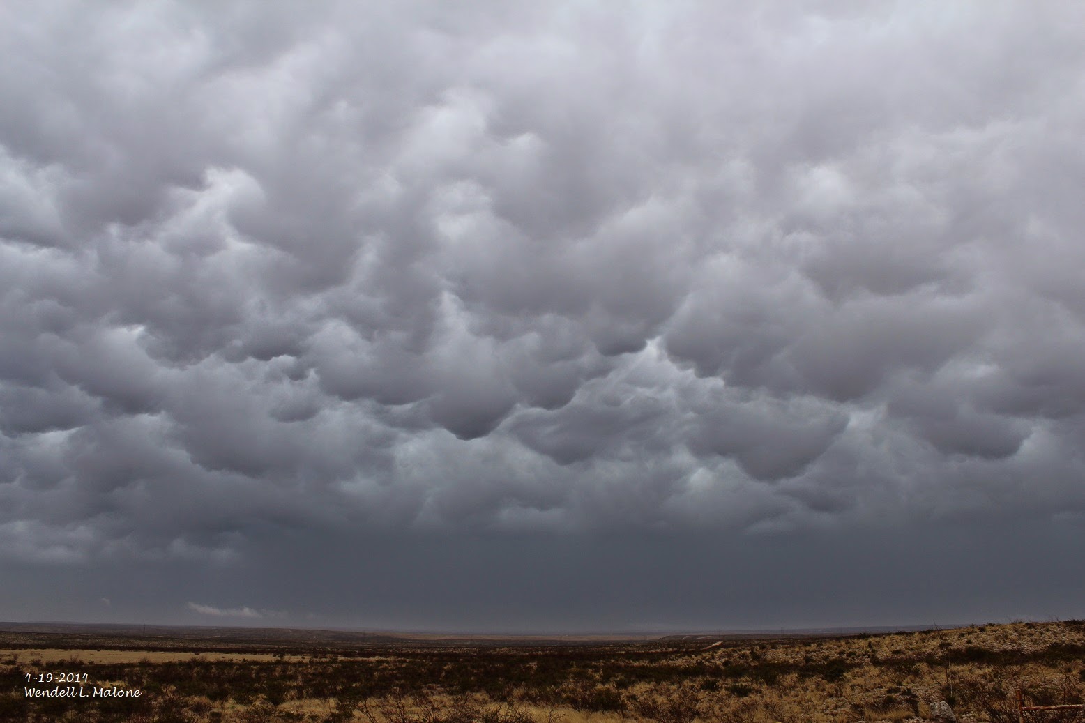
Cumulonimbus Mammatus (CBMAM) Northeast Of Carlsbad,
New Mexico Yesterday Afternoon.

Cumulonimbus Mammatus South Of Artesia, New Mexico Yesterday.
(As Of 6 AM MDT.)


Estimated Rainfall Totals Using GRLevel 3 2.00.


Although the bright yellow and orange shaded areas indicate that widespread rainfall amounts of 1.00" to 2.00" fell across much of Eddy County New Mexico yesterday, these radar estimated rainfall totals are too high. Based on actual measurements across the local area it appears that the radar was overestimating the rainfall totals by up to 1.50".
The good news is that widespread rainfall totals of around .25" were noted with some locations getting more than .50". I measured .58" here at our home in Carlsbad. A National Weather Service employee measured 1.56" of rainfall 10 miles north-northeast of El Paso yesterday afternoon.
The Truth Is Stranger Than Fiction!
My Web Page Is Best Viewed With Google Chrome.


Comments
Post a Comment
Your comments, questions, and feedback on this post/web page are welcome.