Say Goodbye To Winter & Hello To Spring.
Blog updated at 5:35 PM MST Saturday.
2-25-2020.
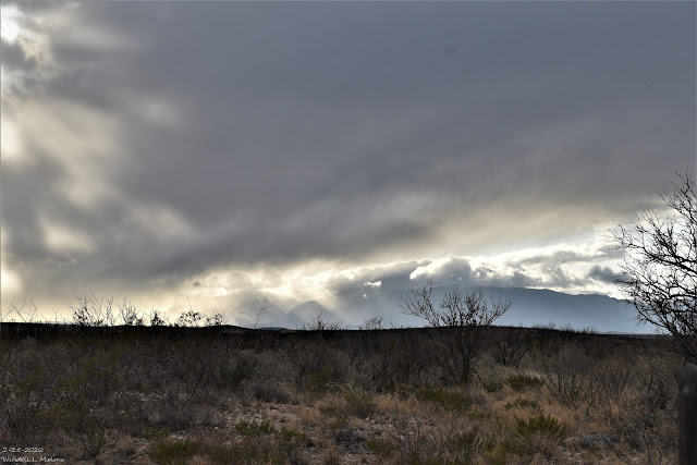
Parting Storm Over The Guadalupes.
Say Goodbye To The Meteorological Winter Of 2019-2020.
As I sat down at my desk to write this blog this morning this song came to mind. Change the words a little from "Tuesday's gone with the wind" to "winters gone with the wind" and you see where I'm coming from.
Today's (Saturday, February 29th, 2020) is the last day of our meteorological winter. Sunday marks the beginning of our meteorological spring. Here in Southeastern New Mexico, our winter is ending up somewhat on the dissapointing side as far as cold and snow are concerned.
Here at our home in Carlsbad, New Mexico I recorded 1.08" of rainfall from December 1st, 2019 through February 29th, 2020. My seasonal snowfall stands at 4.8". February has been wet with .70" of rainfall.
My highest recorded daily high temperature this winterwas 79º which occurred on January 14th and February 16th. Update it was today the last day of the meteorological winter with a reading of 82º. My low was 17º which occurred on February 6th. Another winter where we did not drop down into the single digits or colder this winter.
National Weather Service NDFD Forecast High Temperatures.
Today.
Here at our home in Carlsbad, New Mexico I recorded 1.08" of rainfall from December 1st, 2019 through February 29th, 2020. My seasonal snowfall stands at 4.8". February has been wet with .70" of rainfall.
My highest recorded daily high temperature this winter
National Weather Service NDFD Forecast High Temperatures.
Today.
Sunday.
Monday.
High temperatures today into Monday will be some 10º above average for the date. Normal high and low temperatures for SE NM on March 1st are the mid 60's and mid 30's. Take a look at the Lower Rio Grande Valley of South Texas. Highs Sunday and Monday will be close to 90º.
A High Wind Watch is in effect for the Guadalupe Mountains of Eddy and Culberson Counties Sunday afternoon. West winds are forecast to become sustained at 30 to 45 mph with gusts near 60 mph.
Here in SE NM, these winds will gust up to around 40 mph. March will attempt to "roar like a lion" but it will be a rather feeble attempt by our standards.
Here in SE NM, these winds will gust up to around 40 mph. March will attempt to "roar like a lion" but it will be a rather feeble attempt by our standards.
The Truth Is Stranger Than Fiction - And Sometimes It Hurts!


Comments
Post a Comment
Your comments, questions, and feedback on this post/web page are welcome.