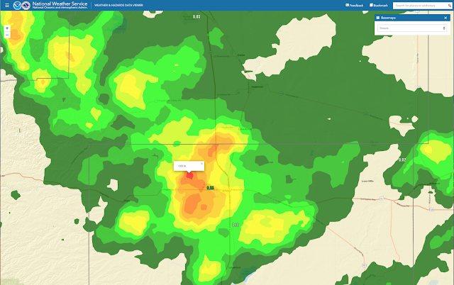
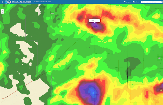
Slow Moving Thunderstorm Dumps On Artesia, NM 5-15-2021.
Artesia, New Mexico.
Artesia, New Mexico Street Flooding.
Artesia, New Mexico.
Normally Dry Eagle Draw
(As Of Noon MDT Sunday, May 16, 2021).
(As Of Noon MDT Sunday, May 16, 2021).
A slow-moving thunderstorm dumped around an inch of rain in twenty minutes on Artesia Saturday afternoon. This caused street flooding in the city which in turn ran off into normally dry Eagel Draw and caused it to flood. See my first YouTube video above.
Other thunderstorms dumped very heavy rains in the Portales area also causing flash flooding and at least one high water rescue of children from a flooded car. For those of you who follow me on Facebook, I have that video on my TimeLine. Radar estimated that up to two inches of rain fell immediately to the northwest of Artesia Saturday afternoon.
The Truth Is Stranger Than Fiction!


Comments
Post a Comment
Your comments, questions, and feedback on this post/web page are welcome.