My Blog Archive List (July 2010 - August 2025).

Show more

Cannon AFB (KFDX) Radar Outage

Updated 10/01/2025 11am The Cannon Air Force Base (KFDX) WSR-88D will remain inoperable for an extended period due to a hardware failure at the site. Parts have been ordered. There is currently no estimate on when the radar will return to service. KFDX radar is the only radar coverage for portions of eastern New Mexico. However, you may find KPUX, KAMA, KLBB, and KMAF radars useful. If you have questions or concerns, please contact Cannon AFB Public Affairs at 575-784-4131.

Viewing My Web Page

If you are viewing my web page on your cell phone, then be sure and click on the three white bars located in the top left-hand corner of the page (only visible on your phone). This is the menu bar, and it opens up additional links and graphics. Such as forecast maps, severe weather outlooks, current conditions, radar and satellite links, and more.

Windy Today - Next Winter Storm End Of Next Week?


March 6, 2023.
Looking South From Seven Rivers, NM. 
Altocumulus Standing Lenticular Clouds (ACSL).


Warm & Windy Today.

Like a recurring bad dream our March winds are back. High Wind Warnings remain in effect until this evening for northeastern and eastern New Mexico. West winds sustained at 30-40 mph with gusts near 60 mph are forecast today. 

Wind Advisories remain in effect for much of the rest of the state including Chaves and Lincoln Counties. West winds sustained at 25-35 mph with gusts near 50 mph are forecast today.

Wind Advisories also remain in effect for Eddy, Lea, and Culberson Counties for west winds sustained at 25-35 mph with gusts near 55 mph. 

Wind Advisories also remain in effect for most of the southern half of New Mexico including the Tularosa Basin and the southern Sacramento mountains. West winds sustained at 25-35 mph with gusts to 50-55 mph are forecast. Locally higher across the higher ridge tops of the Sacramento mountains. 

Finally a High Wind Warning remains in effect for the Guadalupe mountains of Eddy and Culberson Counties including Guadalupe Pass until 10 AM MDT Sunday. West winds sustained at 40-55 mph with gusts to 80 mph are forecast.

Areas of patchy blowing dust are likely today especially over and near our more dust prone locations such as freshly plowed, cultivated, or exposed farmland, fields, lots, and highway construction sites. Watch for sudden drops in the visibility in these areas that may fall below 1/2 of a mile. 

High temperatures across the southeastern plains today will range from the low to mid 80's and the low to mid 70's on Sunday. A cold front will drop our highs down into the mid to upper 60's on Monday. 

The Ruidoso area will see highs today in the low 60's and near 60 on Sunday and the upper 50's Monday. The Cloudcroft area will see the low 50's today, the upper 40's on Sunday and Monday. 

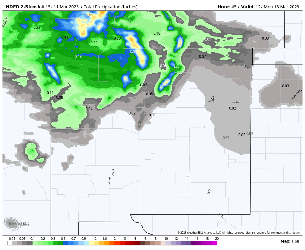
Looking down the road to the end of next week the forecast models are hinting that winter may not be done with us yet. Another winter storm may impact the local area with mountain snows and maybe even light snow at the lower elevations. For those of you who are getting ready to plant your gardens a freeze looks possible the end of next week for many of us valley dwellers. 


Today.


Sunday.


Monday.


Valid Today Through 6 AM MDT Monday Morning.

NWS NDFD Total Snowfall Forecast.

Valid Today Through 6 AM MDT Monday Morning.

NWS Albuquerque Total Snowfall Forecast.


There Are None So Blind As Those Who "Will - Not" To See...107.

Comments

Current US Hazardous Weather Watch/Warning Map

New Mexico

Eddy County

Guadalupe Mtns Eddy & Culberson County

Chaves County Plains & Mtn's

Lea County

Lincoln County

Otero County

Pagosa Springs, Colorado Flooding Oct 12, 2025

Arizona Flooding - Oct 12, 2025

🔴 Live 24/7 National Weather Radar & Alerts, Weather Intensity Score & YallBot!

Ruidoso Live Webcam

Ski Apache Webcam Live Link

Ski Apache Webcam Live Link
Click On The Image To Open It Up

Cloudcroft Live Webcam

Roswell Live EarthCam

New Mexico Weather Tweets

Average Daily High/Low Temperatures & Rainfall/Snowfall

My Rainfall Totals. 2.1 NNW Downtown Carlsbad, NM.

Top 10 Most Popular Posts

Artesia, NM Mothership Supercell Thunderstorm. 9-17-2016.

Monster Of A Snowstorm Coming This Christmas Weekend?

Powerful Winter Storm Is Hammering New Mexico! Worst Is Yet To Come.

25th Anniversary Of The Carlsbad, NM (May 31, 1991) Tornado Coming Up.

Major Winter Storm May Paralyze/Bury Parts Of NM & Nearby Areas Tonight Into Wednesday!

2011 Skywarn Spotter Training Classes & My Thoughts.

Tonight's GFS Is As Drunk As This Mornings ECMWF. Historic Snowstorm Next Weekend?

Are We Fixing To Go From Drought To Flood In SE NM?

Major Winter Storm To Hammer New Mexico & West Texas Thanksgiving Week!

Cloudcroft & Ruidoso, NM Seasonal Snowfall Totals.

My Favorite Blog List.

Substack

Disclaimer

This blog and its contents are for informational purposes only! Always have multiple sources of information available to rely upon during severe weather. Do not rely solely on the Internet. Be weather-aware, plan ahead, have a backup plan, and be ready to act before severe weather strikes your location.