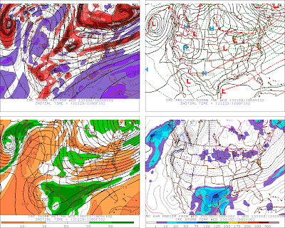
Canadian & European Models Shifting Storm South.
Just as I have been suspecting all along, this mornings 12Z/5 AM MST run of the Canadian (CMC) model, and the European (ECMWF) model, are shifting the potent mid-upper level storm futher west, and south through Arizona on New Years Day, and into northwestern Mexico by Wednesday. This of course favors a colder and snowier Winter Storm for Arizona, New Mexico, and parts of west Texas.
Valid At 5 AM MST Sunday December 30, 2012.
Valid At 5 AM MST New Years Eve December 31, 2012.
Valid At 5 AM MST New Years Day.
Valid At 5 AM MST Wednesday January 2, 2013.
Valid At 5 AM MST Thursday January 3, 2013.
(This Mornings 12Z/5 AM MST Run).
ECMWF Albuquerque, NM.
GFS Albuquerque, NM.
ECMWF Santa Fe, NM.
GFS Santa Fe, NM.
ECMWF Ruidoso, NM.
GFS Ruidoso, NM.
ECMWF Roswell, NM.
GFS Roswell, NM.
ECMWF Carlsbad, NM.
GFS Carlsbad, NM.
(A note on the timeline on the graphs above)-
12/27= 12Z/5 AM MST on Dec 27th.
00/28= 00Z/5 PM MST on Dec 27th.
12/28= 12Z/5 AM MST on Dec 28th.
00/29= 00Z/5 PM MST on Dec 28th.
The blue plus sign is the initiation time of the models forecast. The blue numbers
at the bottom of the graphs (12,24,48,72,etc) are the forecast hours
from the initiation time. So these graphs are forecasting high and low
temperatures, and total liquid precipitation through 240 hours, or the
next 10 days.
The Truth Is Stranger Than Fiction!
My Web Page Is Best Viewed With Google Chrome.


Comments
Post a Comment
Your comments, questions, and feedback on this post/web page are welcome.