

European Model Forecasting Incredible Storm Around New Years!
Valid At 5 MST New Years Day.

ECMWF Max Snow Depth Forecast.
Valid At 5 AM MST New Years Day.

ECMWF Max Snow Depth Forecast.
Valid At 5 AM MST Wednesday January 2, 2013.

ECMWF Max Snow Depth Forecast.
Valid At 5 AM MST Thursday January 3, 2013.
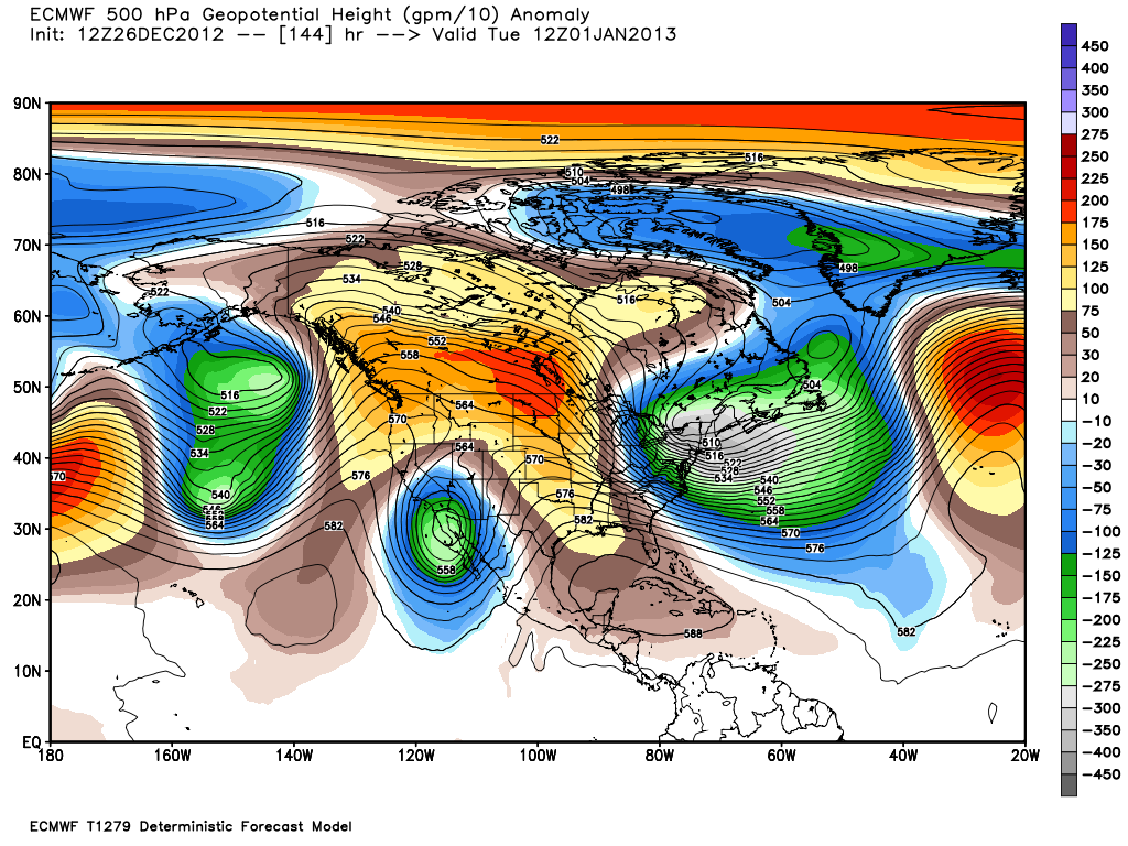
I've been scratching my head over this one now for the past several hours. Wow, talking about a model falling off the deep end with its forecast, the European (ECMWF) has certainly done just this.
I'm not sure what to think about this forecast just to be honest about it.
First of all it would be historic to see these types of widespread heavy snowfall totals across the local area, 8" to 18". Second this would just be wild to see this forecast verify. Third it would blow the record books right out of the water as far as snowfall records are considered.
First of all it would be historic to see these types of widespread heavy snowfall totals across the local area, 8" to 18". Second this would just be wild to see this forecast verify. Third it would blow the record books right out of the water as far as snowfall records are considered.
If, and that's a really big "if" this forecast pans out, this may turn out to be a storm of the magnitude of the Christmas snow storms of 1997. Or another snow to compare this to would be the November 30th - December 2nd snow storm of 1933 that dumped 25" of snow on Carlsbad, NM.
Back to reality, is this even possible? Yes, will it happen, ,maybe, maybe not. The last several runs of the ECMWF have been hinting at a deep cutoff upper level low dropping southward into the Baja Region and stalling, while tapping into a sub-tropical moisture feed from off the Eastern Pacific. This model has also been flipping around between a heavy snow and a heavy rain event. Rainfall totals have been forecast up to 2.00" to 3.50". That would be just about as crazy as the snowfall totals.
This mornings run of the GFS model has nothing like this happening, while the Canadian model is somewhere in between. We are a week away from this potential storm, so you guessed it...the models will change between now and then so stay tuned.
This mornings run of the GFS model has nothing like this happening, while the Canadian model is somewhere in between. We are a week away from this potential storm, so you guessed it...the models will change between now and then so stay tuned.
The Truth Is Stranger Than Fiction!
My Web Page Is Best Viewed With Google Chrome.


great
ReplyDeleteThis article on the European weather forecasting model highlights how advanced atmospheric prediction systems are improving climate analysis and severe weather forecasting. Forecasting models use large-scale environmental data, simulation techniques, and predictive analytics to improve the accuracy of weather predictions and disaster preparedness. Students interested in intelligent forecasting applications can also explore Time Series Projects to understand how temporal and sequential data is analyzed for predictive modeling systems.
ReplyDeleteModern weather forecasting increasingly relies on machine learning, environmental analytics, and high-performance data processing for analyzing complex climate patterns and atmospheric changes. Learners looking to build advanced analytical systems can further refer to Data Science Projects for Final Year for ideas related to predictive analytics, intelligent monitoring, and large-scale forecasting applications. This post provides an interesting perspective on the evolution of modern weather prediction technologies.
ReplyDelete