Posts

Showing posts from August, 2013

Current Date & Time

Lordsburg, NM Gets 2.35" Of Rain.

Image
NWS 24-Hour Mesonet Rainfall Totals. Lordsburg, NM Davis WeatherLink Summary. Lordsburg got lucky yesterday evening when a thunderstorm dumped 2.35" of rain on them. Once again most of the rain remained over southern New Mexico and bypassed southeastern New Mexico. Hot dry weather is forecast to continue into at least the first of next week. Courtesy Of The Midland NWS Office. The Truth Is Stranger Than Fiction!   My Web Page Is Best Viewed With Google Chrome.

Southern New Mexico Gets Rain.

Image
Snapshot Of My SE NM Radar. Using Holloman AFB Radar @ 6:19 AM MDT. Radar Estimated Rainfall Totals. Via The El Paso/Santa Teresa NWS Dual Pol Radar Using GRLevel 3.200 Software. Radar Estimated Rainfall Totals. Via The Holloman AFB Dual Pol Radar Using GRLevel 3.200 Software. NWS Mesonet Rainfall Totals As Of 6 AM MDT. It is raining but not in southeastern New Mexico. A hot and dry week ahead is in store for us with our afternoon high temperatures forecast to range from the low 90's to near 100 today into the first of next week. The Truth Is Stranger Than Fiction!  My Web Page Is Best Viewed With Google Chrome.

Latest 10-Day Rainfall Forecasts.

Image
ECMWF 10-Day Total Rainfall Forecast. GFS 10-Day Total Rainfall Forecast. Canadian (GEM) 10-Day Total Rainfall Forecast. Overall the models are not very optimistic when it comes to rainfall for southeastern New Mexico over the next ten days. However, a tropical wave now located over Texas, will move northwestward into southern New Mexico by Wednesday, and this feature will increase our chances for scattered thunderstorms to break out on Tuesday.  With the eastern Pacific now becoming more active with tropical storms, the Atlantic Basin is forecast to do the same, it would not take much of a pattern shift to get the monsoon to swing back further to the east, and bring some more rainfall back into the area. So this will have to be watched in the coming weeks. The Truth Is Stranger Than Fiction!   My Web Page Is Best Viewed With Google Chrome.

Sunset.

Image
Another stellar New Mexico sunset this evening. The Truth Is Stranger Than Fiction!   My Web Page Is Best Viewed With Google Chrome.

Our Nights Are Slowly Getting Cooler.

Image
NWS Mesonet Low Temps As Of 6:30 AM MDT. The Truth Is Stranger Than Fiction!  My Web Page Is Best Viewed With Google Chrome.

Good Morning Southeastern New Mexico.

Image
The Truth Is Stranger Than Fiction!  My Web Page Is Best Viewed With Google Chrome.

ECMWF Forecasting A Better Chance For Rain Down The Road.

Image
 ECMWF 10-Day Total Rainfall Forecast. ECMWF 24-Hour Rainfall Forecast. Valid @ 6 PM MDT Sunday, August 25, 2013. ECMWF 10-Day Max Temp Anomaly. Valid @ 6 PM MDT Sunday, August 25, 2013. ECMWF 850 MB MSLP Forecast. Valid @ 6 AM MDT Saturday, August 24, 2013. Every once in awhile a Hurricane will form south of the Baja Penisula, work its way northward, and sometimes spread its remnant moisture into our neighborhood. This mornings run of the European (ECMWF) computer model is forecasting just such an event in about a week from this coming Sunday.  Notice its forecast of much cooler temps, and widespread moderate to heavy rains on Sunday, August 25th via the maps posted above. Will this pan out...maybe, maybe not. I'm sorry but its just a tad early to know for sure so we will just have to wait and see. The Truth Is Stranger Than Fiction!   My Web Page Is Best Viewed With Google Chrome.
Another Day Of 100-Degree Temps.

Image
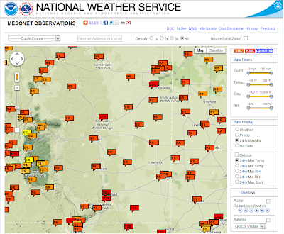
NWS Mesonet High Temperatures Reported Sunday. For the most part August has been fairly hot and dry over southeastern New Mexico. Contrast this with July which was a cool and wet month for the local area. So far this month I've only manged to squeeze .10" out of my rain gauge here at my home in Carlsbad. Today will be another day with afternoon high temps in the upper 90's to the low 100's.  The Truth Is Stranger Than Fiction!   My Web Page Is Best Viewed With Google Chrome.

If Only I Could Reach The Moon.

Image
The Truth Is Stranger Than Fiction!  My Web Page Is Best Viewed With Google Chrome.

Invest AL92 Over The Yucatan Peninsula - Future Of Storm Highly Uncertain.

Image
Courtesy Of The NHC. IR Satellite Image @ 12:15 PM MDT. Model Forecast Tracks Of Invest AL92. Valid @ 6 AM MDT Monday. Valid Today Through 6 AM MDT Saturday. Valid @ 6 AM MDT Sunday. With out a doubt the models are really struggling with the easterly wave that is currently located over the Yucatan Peninsula. Since this wave is over land now, and highly disorganized, the models are simply all over the place with their forecasts concerning this system. None of them appear reliable at this time in my opinion.  Yesterday I thought that this system would be named Erin but that's not to be. Tropical Storm Erin has formed about 115 miles west-southwest of Brava, in the Cape Verde Islands. Erin will generally continue moving westward for the next several days. For now, I won't focus much on this system since it will not be impacting the U.S. mainland anytime soon, if at all. Back to our storm that is forecast to enter...


Trouble In The Gulf Of Mexico - Or Will Invest AL92 Be A Dud?

Image
Blog Updated At 2:15 PM MDT Today. Tropical Disturbance Invest AL92.  An area of disturbed weather located northeast of the tip of Honduras and the Cayman islands may now be forming a surface low. This tropical disturbance has a 50% change of becoming a tropical storm within 48 hours, and a 60% chance of becoming a tropical storm within the next five days. It is likely to continue moving off towards the northwest towards the Yucatan Peninsula over the next couple of days and then is expected to enter the Gulf of Mexico by this weekend.  IR Funktop Image @ 9:15 AM. MDT This Morning. Invest AL92 Model Track Forecasts. Canadian Computer Model Forecast Of Invest AL92. Valid @ 6 AM MDT Friday Morning. Valid @ 6 AM MDT Saturday Morning. Valid @ 6 AM MDT Sunday Morning. Valid @ 6 AM MDT Monday Morning. Valid @ 6 AM MDT Tuesday Morning. Valid @ Midnight Tuesday, August 20, 2013. Trou...

My Blog Archive List (July 2010 - August 2025).

Show more

My Current Weather Conditions

MY CoCoRaHS Precipitation Data

NWS Albuquerque 2026 Winter Outlook (Updated Nov 3rd).

NWS Midland Web Page

NWS Midland Web Page
Click On The Map To Open It Up

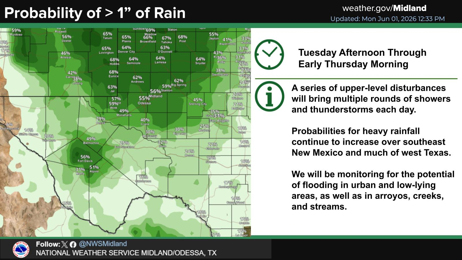
SE New Mexico & West Texas Precipitation Forecasts

Eddy County

Guadalupe Mtns Eddy & Culberson County

Lea County

NWS Midland Hazardous Weather Outlook

NWS Midland Hazardous Weather Outlook
Click On The Image To See The Rest Of The Outlooks

NWS Midland Hazardous Weather Outlook

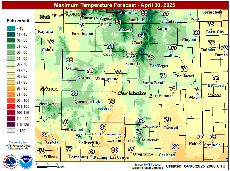
NWS Midland Forecast High Temperatures Today

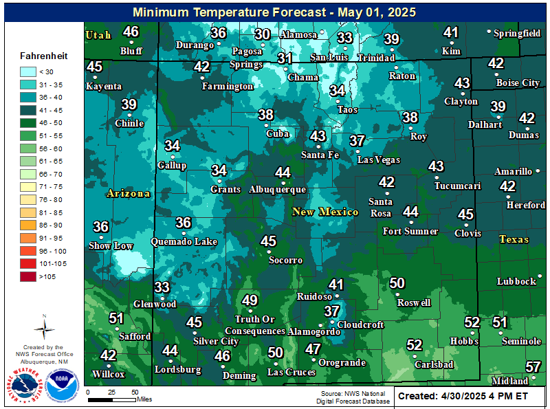
NWS Midland Forecast Low Temperatures Tonight

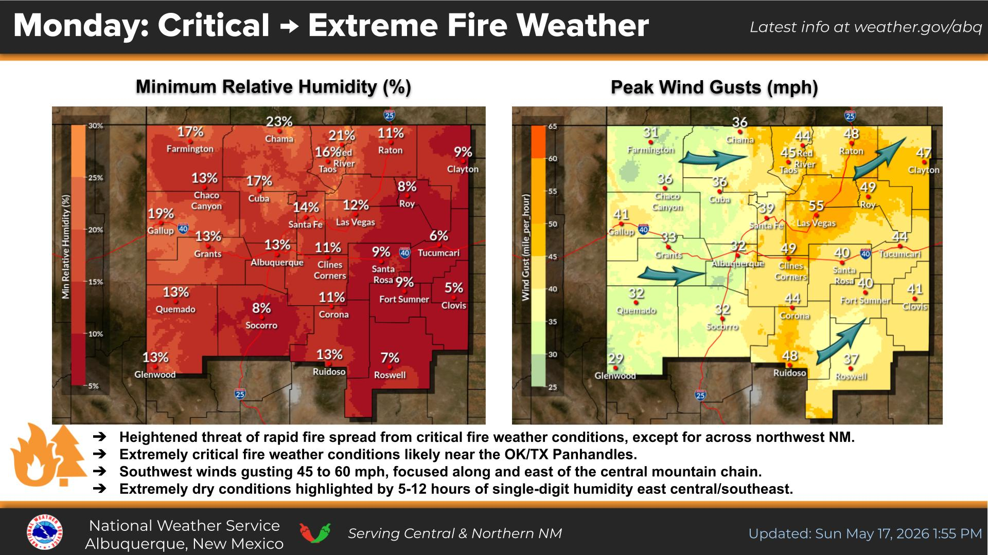
NWS Midland Peak Wind Gust Forecast

NWS Midland Graphic Forecast

NWS Midland Graphic Forecast
A scheduled, nationwide test of the Emergency Alert System is planned for November 17, 2026 at 2:20 pm ET. The test message will be distributed to the public via television and radio broadcasts - NOAA Weather Radios will not receive the test. If for any reason the test cannot proceed on the assigned date, December 3 will serve as the back-up. For more information please see this Press Release (https://www.fema.gov/press-release/20261116/fema-and-fcc-conduct-nationwide-test-emergency-alert-system-november-17-2026).

NWS Midland Forecast Graphic

NWS Midland Forecast Graphic
Another cool day expected with patchy morning fog and drizzle. Clouds may try to break over some places late, but may hold over southeast New Mexico. Another chilly night tonight with patchy fog developing again in places.

NWS Albuquerque Web Page

NWS Albuquerque Web Page
Click On The Map To Open It Up

NWS Albuquerque New Mexico Precipitation Forecasts

New Mexico

Chaves County Plains & Mtn's

Lincoln County

NWS Albuquerque Hazardous Weather Outlook

NWS Albuquerque Hazardous Weather Outlook

NWS Albuquerque Forecast High Temperatures Today

NWS Albuquerque Forecast Low Temperatures Tonight

NWS Albuquerque Wind Chill Forecast

NWS Albuquerque Peak Wind Gust Forecast

NWS Albuquerque Graphic Forecast

NWS Albuquerque Graphic Forecast
A Dense Fog Advisory is in effect through 11AM MST for much of central NM, including the Santa Fe Metro.

NWS Albuquerque Graphic Forecast

NWS Albuquerque Graphic Forecast
Another round of high mountain snow accumulations are expected Tuesday night across northern NM. Between 1 and 4 inches of snow is likely. Around 6" would be a reasonable high-end snow fall amounts. Snow will taper off by noon Wednesday.

NWS Albuquerque Graphic Forecast

NWS Albuquerque Graphic Forecast
Increasing south to southwest winds are expected across parts of northern and central NM today ahead of an approaching storm system. Expect difficult crosswinds on east to west oriented roadways. Unsecured objects may blow around.

NWS Albuquerque Forecast Grpahics

NWS Albuquerque Forecast Grpahics
A storm system will bring rain and mountain snow to the area today. Chances are trending up for early next week. Temperatures will remain near to below normal this week.

NWS El Paso Web Page

Southern New Mexico & Far West Texas Precipitation Forecasts

Texas

Otero County

NWS El Paso Hazardous Weather Outlook

NWS El Paso Hazardous Weather Outlook
Click On The Image To See The Rest Of The Outlooks

NWS El Paso Hazardous Weather Outlook

NWS El Paso Hazardous Weather Outlook
Click On The Image To See The Rest Of The Outlooks

NWS El Paso Forecast High Temperatures Today

NWS El Paso Forecast Low Temperatures Tonight

NWS El Paso Wind Chill Forecast

NWS El Paso Peak Wind Gust Forecast

NWS Lubbock Web Page

NWS Lubbock Web Page
Click On The Map To Open It Up

NWS Lubbock South Plains Precipitation Forecasts

NWS Lubbock Hazardous Weather Outlook

NWS Lubbock Hazardous Weather Outlook
Click On The Image To See The Rest Of The Outlooks

NWS Lubbock Hazardous Weather Outlook

NWS Lubbock Hazardous Weather Outlook
Click On The Image To See The Rest Of The Outlooks

NWS Lubbock Hi Temperature Forecast Today

NWS Lubbock Low Temperature Forecast Tomight

NWS Lubbock Graphic Forecast

NWS Lubbock Graphic Forecast
Clouds and fog will continue across most of the region today and tonight, though it will be slightly warmer with highs in the mid 50s/60. Overnight lows will still be in the low 40s.

NWS Lubbock Graphic Forecast

NWS Lubbock Graphic Forecast
Cool and cloudy conditions will stick around through mid-week before a brief warmup late this week.

My Rainfall Totals - 2.1 NNW Downtown Carlsbad

My Rainfall Totals - 2.1 NNW Downtown Carlsbad

My Seasonal Snowfall Totals - 2.1 NNW Downtown Carlsbad

My Seasonal Snowfall Totals - 2.1 NNW Downtown Carlsbad

Disclaimer

This blog and its contents are for informational purposes only! Always have multiple sources of information available to rely upon during severe weather. Do not rely solely on the Internet. Be weather-aware, plan ahead, have a backup plan, and be ready to act before severe weather strikes your location.