Posts

Showing posts from July, 2016

Current Date & Time

Monsoon Flow Has NM In Its Gunsights - Invest 97L To Continue West.

Image
New Mexico July 2016 Estimated Rainfall. (As Of 6 AM MDT July 31, 2016). July was not a wet month for most of southeastern New Mexico. In fact here at our home in Carlsbad I've only managed to pick up .27" for the month and 2.82" for the year so far. NWS MesoWest 24-Hour Rainfall Totals. The Clines Corners ASOS measured 1.97" of rain over the past 24 hours. NWS MesoWest Radar Estimated Rainfall Totals. Past 24 Hours. (As Of 8 AM MDT This Morning). Past 48 Hours. (As Of 8 AM MDT This Morning). Past 72 Hours. (As Of 8 AM MDT This Morning). NDFD (NWS) Total Rainfall Forecasts. (Valid At 6 PM MDT Tuesday, August 2, 2016). WPC 7-Day Total Rainfall Forecasts. (Valid At 6 AM MDT Sunday, August 7, 2016). NAM-WRF Total Rainfall Forecast. (Valid At 6 PM MDT Tuesday, August 2, 2016). Local NWS 7-Day Forecasts. Roswell. Carlsbad. Ruidoso. Cloudcroft...

AZ/NM To Get Monsoon Rains & Invest 97L.

Image
Finally Our Summer Monsoon Kicks In. NWS Albuquerque Area Forecast Discussion (AFD) This Morning: "Storm coverage is expected to increase further early next week across all of western and a good portion of central NM. Models still holding to somewhat varying degrees to the eastward shift of the upper high and thus allowing greater amts of moisture to flow in from the s and se. The easterly wave coming slowly west and nwwrd across Mexico should help to some degree with this as well. With the increasing moisture lvls still being advertised decided to add locally heavy rain wording to the scattered/chance to numerous/likely pops areas starting today and for the aftns through Monday. Today may seem a bit too soon for that, but given the uptick of yesterday felt that we could get away with that as early as today. As previous day shifter indicated flash flood watches may be needed for portions of next week depending on antecedent heavy rainfall locations and presence of any...
Heavy Rains Fell Over Parts Of New Mexico Yesterday & Overnight.

Image
24-Hour Rainfall Totals. (As Of 8 AM MDT This Morning). Holloman AFB Dual Pol Doppler Radar Rainfall Estimates. (Using GRLevel3 Software). Radar Estimated 24-Hour Rainfall Totals. 24-Hour Lightning Strike Totals. NWS MesoWest 24-Hour Rainfall Totals. (As Of 8 AM MDT This Morning). NWS Albuquerque 24-Hour Rainfall Reports. (Last Updated At 7:13 AM MDT This Morning). • 6 WSW Bonito Lake - 2.52 in.  • 4 W Bonito Lake - 2.48 in.  • 5 SW Bonito Lake - 1.89 in.  • 2 S Bonito Lake - 1.27 in.  • 5 WNW Bonito Lake - 1.25 in.  • 2 SW Dora - 0.91 in.  • 6 WSW Bonito Lake - 0.91 in.  • 1 SE Gran Quivira - 0.86 in.  • 13 SE Tolar - 0.84 in.  • 16 SSE Natl Radio Astronomy Obs - 0.70 in.  • 3 NE Albuquerque - 0.68 in.  • 1 SSE Clines Corners - 0.68 in.  • 2 N Santa Fe - 0.66 in.  • 7 ENE Tucu...

Just How Far Away Are Those T-Storms Anyway?

Image
We Can See For Miles & Miles In NM. Just How Far Away Were Those Thunderstorms Anyway?  GRLevel2 Analyst Radar Archived Snapshot. My wife and I were headed north up US Hwy 285 to Roswell yesterday afternoon when I shot the above two photos. We were looking northwest-north at the Eddy and Chaves County line just north of Artesia at 3:56 PM MDT.  This morning I pulled up a snapshot archive of the Cannon AFB Dual Pol Doppler Radar from yesterday afternoon at 3:55 PM MDT. The thunderstorms stretching from our northwest-north were anywhere from 115-180 miles from us. We were first able to see the tops of these storms right after we left Carlsbad...placing them some 210+ miles north of us.  Finally Its Going To Cool Down Some - With T-Storms. GFS 500 MB Forecast. Valid @ 6 PM MDT Wednesday, July 27, 2016. Forecast models are showing that the oppressive upper level ridge of high pressure that has been plaguing the local area will...

My Blog Archive List (July 2010 - August 2025).

Show more

My Current Weather Conditions

MY CoCoRaHS Precipitation Data

NWS Albuquerque 2026 Winter Outlook (Updated Nov 3rd).

NWS Midland Web Page

NWS Midland Web Page
Click On The Map To Open It Up

SE New Mexico & West Texas Precipitation Forecasts

Eddy County

Guadalupe Mtns Eddy & Culberson County

Lea County

NWS Midland Hazardous Weather Outlook

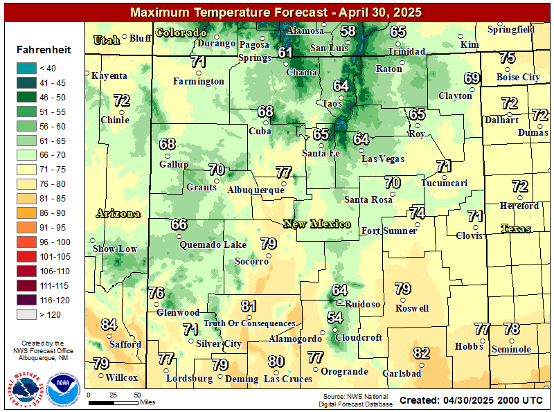
NWS Midland Forecast High Temperatures Today

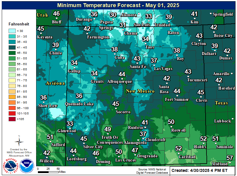
NWS Midland Forecast Low Temperatures Tonight

NWS Midland Peak Wind Gust Forecast

NWS Midland Forecast Graphic

NWS Midland Forecast Graphic
Patchy areas of dense fog is expected across southeast New Mexico, northern Permian Basin, and Guadalupe Mountains tonight through Thursday morning. Drive with caution when encountering fog!

NWS Midland Graphic Forecast

NWS Midland Graphic Forecast
Low clouds and fog over portions of the area will lift by late this morning. Warmer temperatures return today through Saturday. The next cold front arrives Sunday with much cooler temperatures to follow into early next week. Dry weather through the weekend before another system brings a chance of rain by early next week.

NWS Midland Forecast Graphic

NWS Midland Forecast Graphic
A damage survey concluded a thunderstorm produced two tornadoes in Gaines and Dawson counties, respectively, on the evening of November 14th. Here are the findings and details of the survey.

NWS Albuquerque Web Page

NWS Albuquerque Web Page
Click On The Map To Open It Up

NWS Albuquerque New Mexico Precipitation Forecasts

New Mexico

Chaves County Plains & Mtn's

Lincoln County

NWS Albuquerque Hazardous Weather Outlook

NWS Albuquerque Hazardous Weather Outlook

NWS Albuquerque Forecast High Temperatures Today

NWS Albuquerque Forecast Low Temperatures Tonight

NWS Albuquerque Wind Chill Forecast

NWS Albuquerque Peak Wind Gust Forecast

NWS Albuquerque Graphic Forecast

NWS Albuquerque Graphic Forecast
Dense Fog is likely to return to areas of east-central and southeastern New Mexico tonight into Thursday morning. Low visibility as low as a quarter mile will impact the morning commute in these areas.

NWS Albuquerque Graphic Forecast

NWS Albuquerque Graphic Forecast
Gusty winds return on Friday across the forecast area. The strongest winds are forecast to be in northeast New Mexico.

NWS Albuquerque Graphic Forecast

NWS Albuquerque Graphic Forecast
Daytime temperatures will be within several degrees of average through Friday, then trend below average going into next week. Chances for rain and snow showers will come back late Friday and Saturday, then increase further on Monday.

NWS El Paso Web Page

Southern New Mexico & Far West Texas Precipitation Forecasts

Texas

Otero County

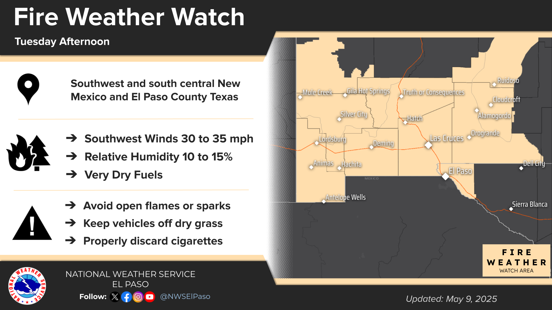
NWS El Paso Hazardous Weather Outlook

NWS El Paso Hazardous Weather Outlook
Click On The Image To See The Rest Of The Outlooks

NWS El Paso Hazardous Weather Outlook

NWS El Paso Hazardous Weather Outlook
Click On The Image To See The Rest Of The Outlooks

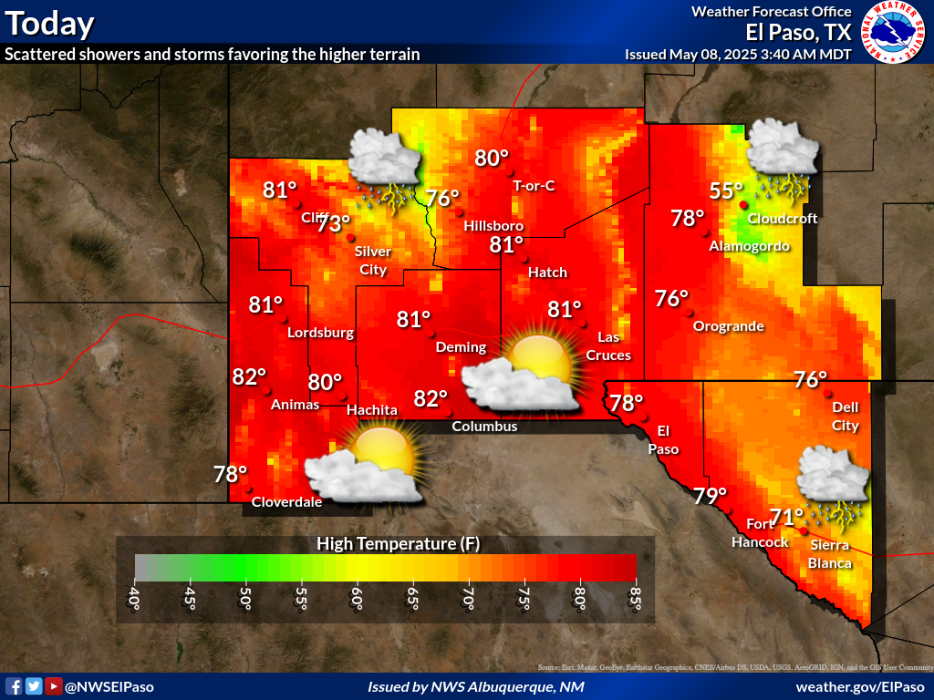
NWS El Paso Forecast High Temperatures Today

NWS El Paso Forecast Low Temperatures Tonight

NWS El Paso Wind Chill Forecast

NWS El Paso Peak Wind Gust Forecast

NWS El Paso Graphic Forecast

NWS El Paso Graphic Forecast

NWS Lubbock Web Page

NWS Lubbock Web Page
Click On The Map To Open It Up

NWS Lubbock South Plains Precipitation Forecasts

NWS Lubbock Hazardous Weather Outlook

NWS Lubbock Hi Temperature Forecast Today

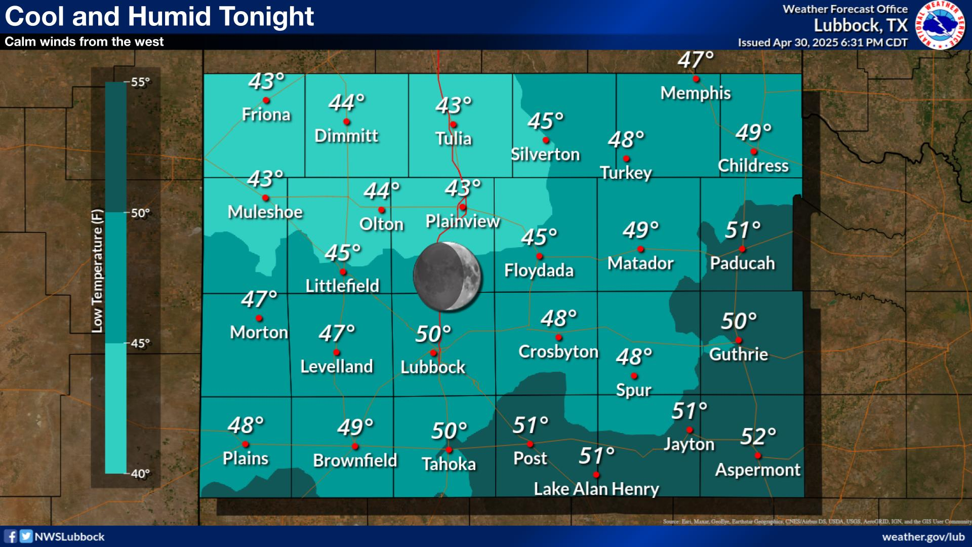
NWS Lubbock Low Temperature Forecast Tomight

NWS Lubbock Graphic Forecast

NWS Lubbock Graphic Forecast
A Dense Fog Advisory is in effect until 10 am Thursday for locations on the Caprock along and west of the I-27/U.S. 87 Corridor.

NWS Lubbock Graphic Forecast

NWS Lubbock Graphic Forecast
Low clouds and fog will redevelop tonight. The fog will likely become dense across much of the Caprock early Thursday morning. Skies will gradually clear out during the day Thursday with highs in the upper 50s to upper 60s.

NWS Lubbock Graphic Forecast

NWS Lubbock Graphic Forecast
Warming temperatures are expected during the second half of the week. However, a return to cooler temperatures is expected late this weekend.

My Rainfall Totals - 2.1 NNW Downtown Carlsbad

My Rainfall Totals - 2.1 NNW Downtown Carlsbad

My Seasonal Snowfall Totals - 2.1 NNW Downtown Carlsbad

My Seasonal Snowfall Totals - 2.1 NNW Downtown Carlsbad

Disclaimer

This blog and its contents are for informational purposes only! Always have multiple sources of information available to rely upon during severe weather. Do not rely solely on the Internet. Be weather-aware, plan ahead, have a backup plan, and be ready to act before severe weather strikes your location.