Current Date & Time

Fall Freeze Data For New Mexico

How Hot Did It Get Saturday? Regional Temperature Lisitng.


Note: The high temperatures recorded yesterday are highlighted in the white boxes with red numbers. The black dots with the lines coming out of them represent the direction from which the wind is blowing this morning (8 AM MDT) and how fast in knots. This list includes a combination of official National Weather Service Airport Observations (ASOS & AWOS), CWOP Personal Weather Stations (PWS), APRS Weather Stations, and Union Pacific Railroad Stations (UPR), US Forest Service and BLM Stations (RAWS). Some of the PWS and UPR temperatures may not be reliable especially those readings listed of over 115ºF. 

(June 1st - June 17th, 2017).

Taos, NM.


Santa Fe, NM.


Albuquerque, NM. 


Tucumcari, NM.


Cannon AFB - Clovis, NM.


Sierra Blanca Regional Airport - Ruidoso, NM.


Roswell, NM.


Artesia, NM.


Carlsbad, NM.


Hobbs, NM.


Holloman AFB - Alamogordo, NM.


Las Cruces, NM.


Guadalupe Pass, Texas.


El Paso, Texas.


Midland, Texas.


Pecos, Texas.


Lubbock, Texas.


(Saturday, June 17, 2017.)


(6 AM MDT Sunday Morning).


( At 9 AM MDT Sunday Morning).


After yesterday's blistering heat which set many new daily record highs a cold front has managed to push southward into Southeastern New Mexico and parts of West Texas. Therefore a cooler air mass is forecast to overspread the area today producing afternoon highs only in the 80's and low 90's verses yesterdays readings of 100ºF to 115ºF. Unfortunately this isn't going to last as our upcoming week will see us go back into the furnace with forecast highs on Thursday and Friday locally flirting with the 110ºF mark.


The Carlsbad Airport recorded a high temp of 109ºF Saturday afternoon which was one degree shy of the record high temp for the date of 110ºF in 1977. I will post a complete listing of the local daily record high temperatures that have been established this month in a week or two when they become available.


(Saturday).


(This Upcoming Week).

Today.


Monday.


Tuesday.


Wednesday.


Thursday.


Friday.


The Truth Is Stranger Than Fiction!

Comments

My Blog Archive List (July 2010 - August 2025).

Show more

My Current Weather Conditions

MY CoCoRaHS Precipitation Data

NWS Albuquerque 2026 Winter Outlook

Eddy County

Guadalupe Mtns Eddy & Culberson County

Lea County

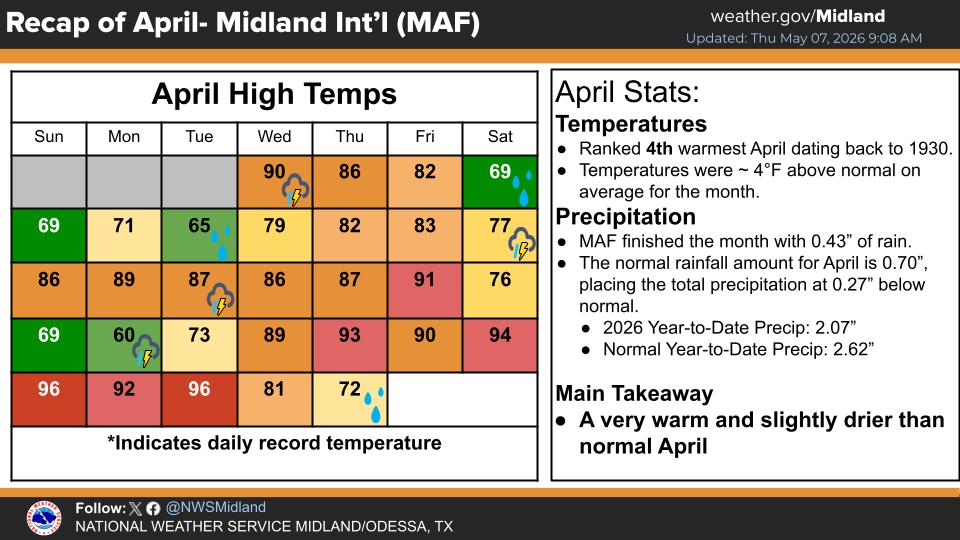
NWS Midland Web Page

NWS Midland Web Page
Click On The Map To Open It Up

SE New Mexico & West Texas Precipitation Forecasts

NWS Midland Hazardous Weather Outlook

NWS Midland Hazardous Weather Outlook
Click On The Image To See The Rest Of The Outlooks

NWS Midland Hazardous Weather Outlook

NWS Midland Hazardous Weather Outlook
Click On The Image To See The Rest Of The Outlooks

NWS Midland Hazardous Weather Outlook

NWS Midland Hazardous Weather Outlook

NWS Midland Forecast Graphic

NWS Midland Graphic Forecast

NWS Midland Forecast Graphic

NWS Midland Forecast High Temperatures Today

NWS Midland Forecast Low Temperatures Tonight

New Mexico

Chaves County Plains & Mtn's

Lincoln County

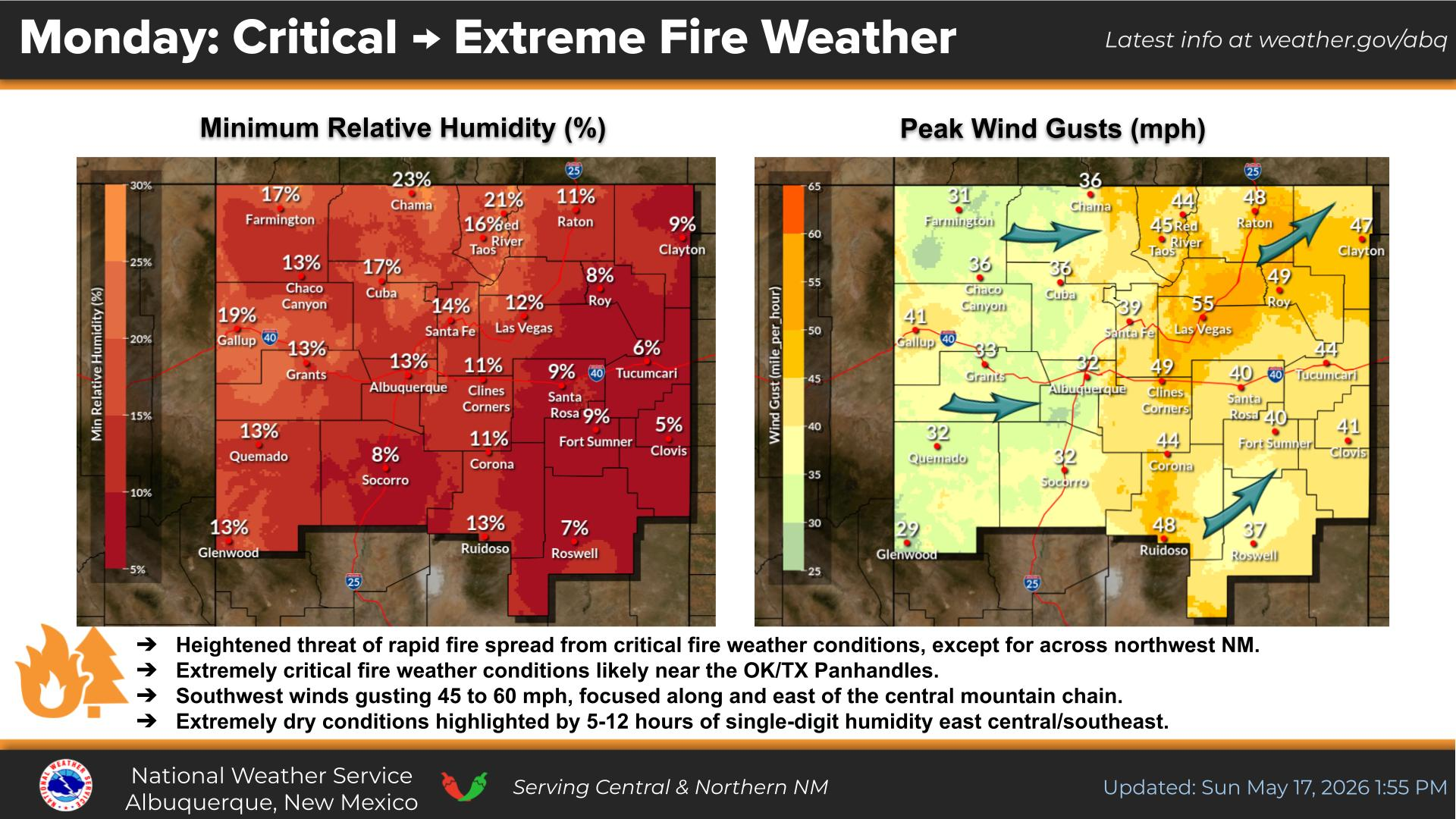
NWS Albuquerque Web Page

NWS Albuquerque Web Page
Click On The Map To Open It Up

NWS Albuquerque New Mexico Precipitation Forecasts

NWS Albuquerque Hazardous Weather Outlook

NWS Albuquerque Hazardous Weather Outlook

NWS Albuquerque Forecast Grpahics

NWS Albuquerque Forecast Graphics

NWS Albuquerque Forecast Graphic

NWS Albuquerque Graphic Forecast

NWS Albuquerque Forecast High Temperatures Today

NWS Albuquerque Forecast Low Temperatures Tonight

NWS Albuquerque Peak Wind Gust Forecast

Texas

Otero County

NWS El Paso Web Page

Southern New Mexico & Far West Texas Precipitation Forecasts

NWS El Paso Hazardous Weather Outlook

NWS El Paso Hazardous Weather Outlook
Click On The Image To See The Rest Of The Outlooks

NWS El Paso Hazardous Weather Outlook

NWS El Paso Hazardous Weather Outlook
Click On The Image To See The Rest Of The Outlooks

NWS El Paso Hazardous Weather Outlook

NWS El Paso Hazardous Weather Outlook

NWS El Paso Graphic Forecast

NWS El Paso Graphic Forecast

NWS El Paso Graphic Forecast

NWS El Paso Graphic Forecast

NWS El Paso Forecast High Temperatures Today

NWS El Paso Forecast Low Temperatures Tonight

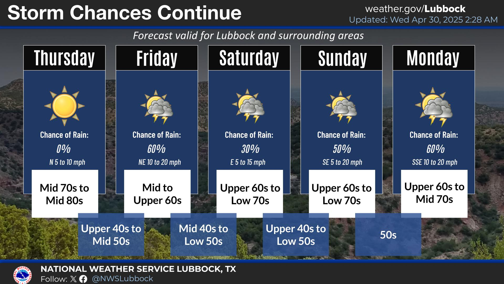
NWS Lubbock Web Page

NWS Lubbock Web Page
Click On The Map To Open It Up

NWS Lubbock South Plains Precipitation Forecasts

NWS Lubbock Hazardous Weather Outlook

NWS Lubbock Hazardous Weather Outlook
Click On The Image To See The Rest Of The Outlooks

NWS Lubbock Hazardous Weather Outlook

NWS Lubbock Hazardous Weather Outlook
Click On The Image To See The Rest Of The Outlooks

NWS Lubbock Hazardous Weather Outlook

NWS Lubbock Hazardous Weather Outlook

NWS Lubbock Graphic Forecast

NWS Lubbock Graphic Forecast

NWS Lubbock Graphic Forecast

NWS Lubbock Graphic Forecast

NWS Lubbock Hi Temperature Forecast Today

NWS Lubbock Low Temperature Forecast Tomight

My Rainfall Totals - 2.1 NNW Downtown Carlsbad

My Rainfall Totals - 2.1 NNW Downtown Carlsbad

My Seasonal Snowfall Totals - 2.1 NNW Downtown Carlsbad

My Seasonal Snowfall Totals - 2.1 NNW Downtown Carlsbad

Disclaimer

This blog and its contents are for informational purposes only! Always have multiple sources of information available to rely upon during severe weather. Do not rely solely on the Internet. Be weather-aware, plan ahead, have a backup plan, and be ready to act before severe weather strikes your location.